Road map of southern Alberta and Saskatchewan (Canada) published by ITM.
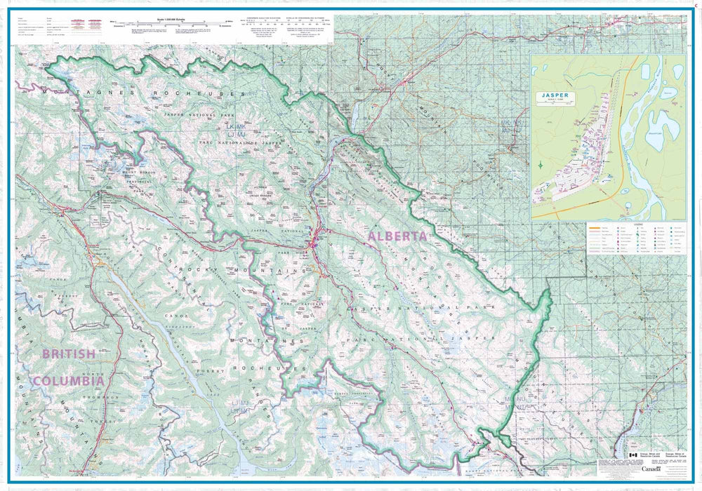
The Canadian Prairies extend from east of Calgary to around Winnipeg. This map covers the British Columbia border east to the Saskatchewan-Manitoba border, and the U.S. border north to Edmonton and Saskatoon. It is a vast area of relatively flat prairie, with huge farms and cities several hours' drive apart. The Rocky Mountains are shown on the first side, but not in as much detail as on our Banff/Jasper map, and then the rest of Alberta, with large inset maps of Calgary and Edmonton.
The second side covers southern Saskatchewan, with inset maps of Regina and Saskatoon. This map will appeal to anyone driving across Canada or focusing on this part of the country.
Relief mapping and city index also provided.
ISBN/EAN : 9781771297332
Publication date: 2024
Scale: 1/900,000 (1cm=9km)
Printed sides: both sides
Folded dimensions: 24.6 x 10.3 x 0.5cm
Unfolded dimensions: 68x100cm
Language(s): English
Weight:
53 g


