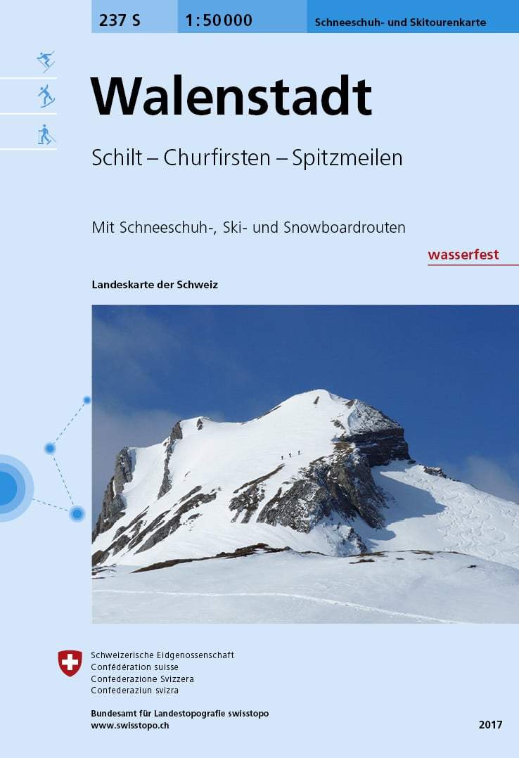
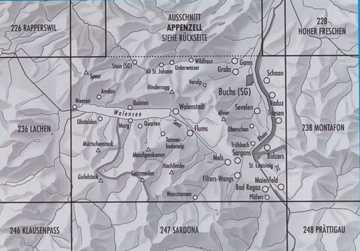
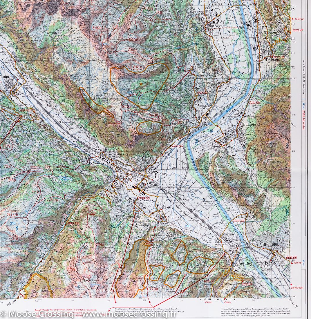
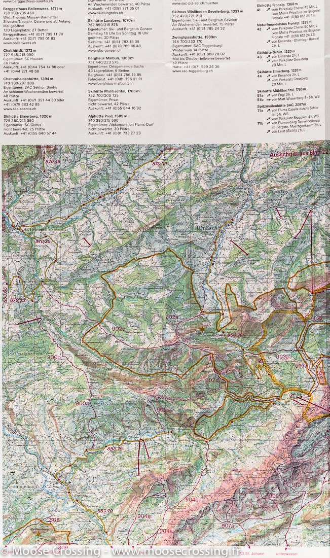
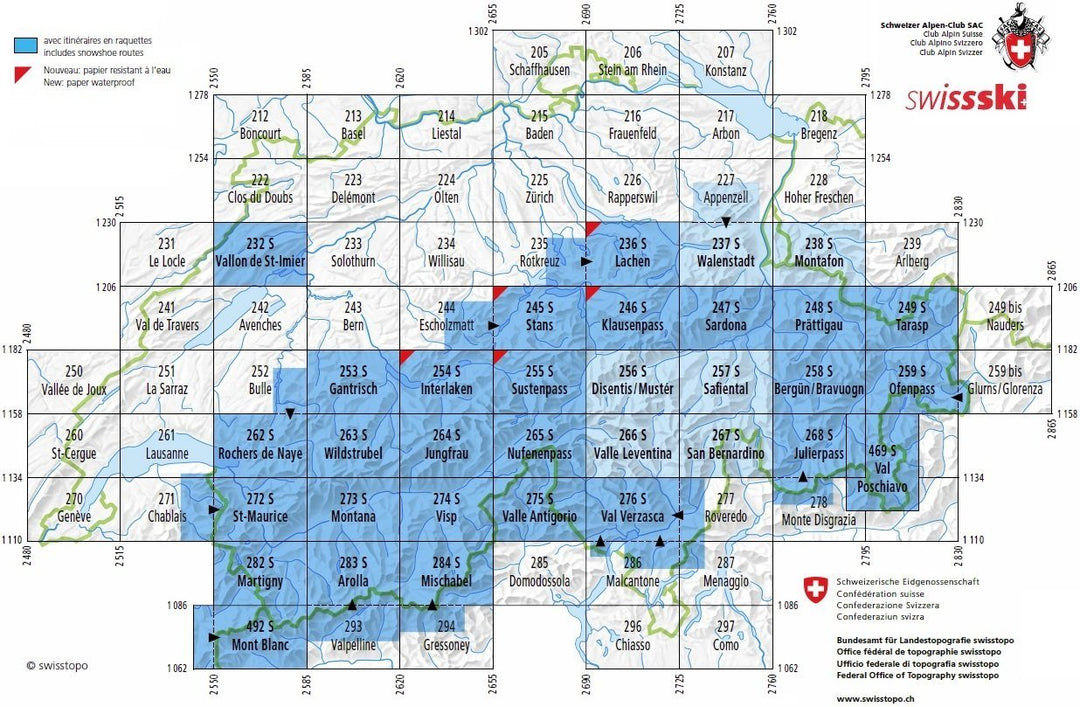
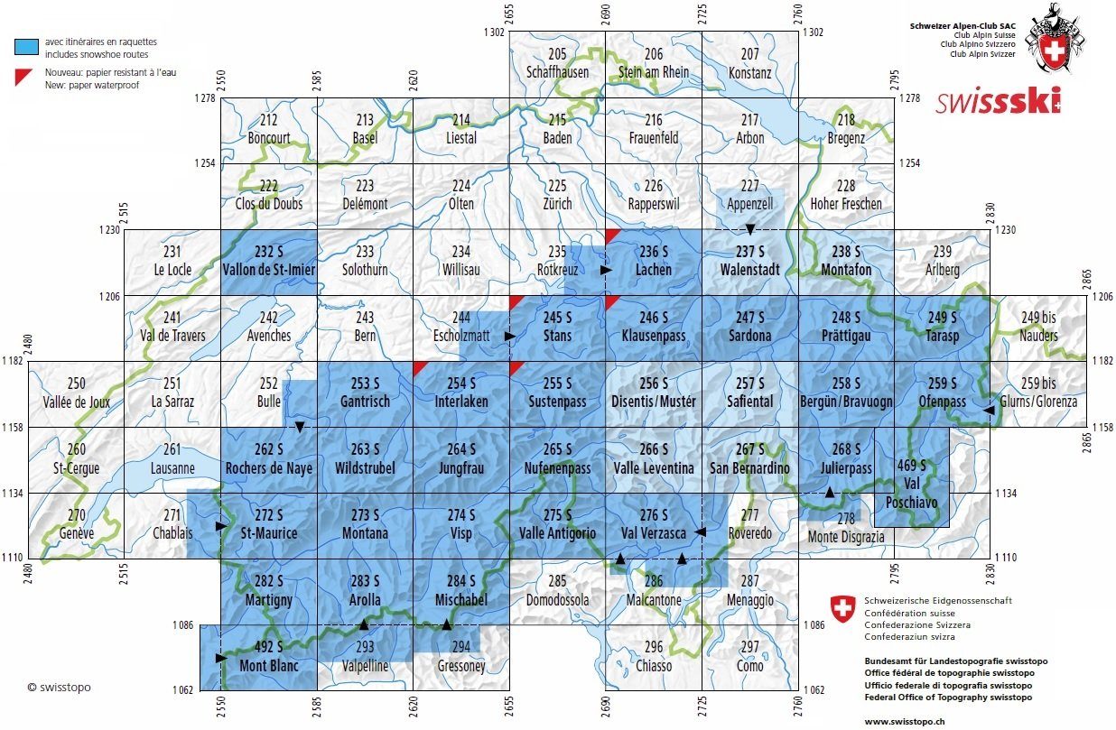
Carte de randonnée à ski n° 237S - Walenstadt (Säntis, Churfirsten, Spitzmeilen), Suisse | Swisstopo - ski au 1/50 000 carte pliée Swisstopo

Ski hiking map # 237S - Walenstadt (Säntis, Churfirsten, Spitzmelen), Switzerland | SwissTopo - Ski at 1/50 000

Ski hiking map # 237S - Walenstadt (Säntis, Churfirsten, Spitzmelen), Switzerland | SwissTopo - Ski at 1/50 000

Regular price $27.00 Sale price $19.00 Save $8
/
  • Shipping within 24 working hours from our warehouse in France
  • Delivery costs calculated instantly in the basket
  • Free returns (*)
  • Real-time inventory
  • Low stock - 2 items left
  • Backordered, shipping soon
Tax included.
Topographic Map edited by Swisstopo for the ski hike that covers the area around Walenstadt, with the Chain of Churfirsten, Mount Säntis and Spitzmeil (Switzerland). Level curves and ski and snowboard itineraries indicated. Information about mountain hike and the use of GPS included as well as accommodation addresses.


ISBN/EAN : 9783302202372
Publication date: 2017
Scale: 1/50,000 (1cm=500m)
Printed sides: front
Folded dimensions: 13 x 19cm
Unfolded dimensions: 78 x 56cm
Language(s): multilingual including French
Poids : 42 g

Customer Reviews

No reviews yet
0%
(0)
0%
(0)
0%
(0)
0%
(0)
0%
(0)