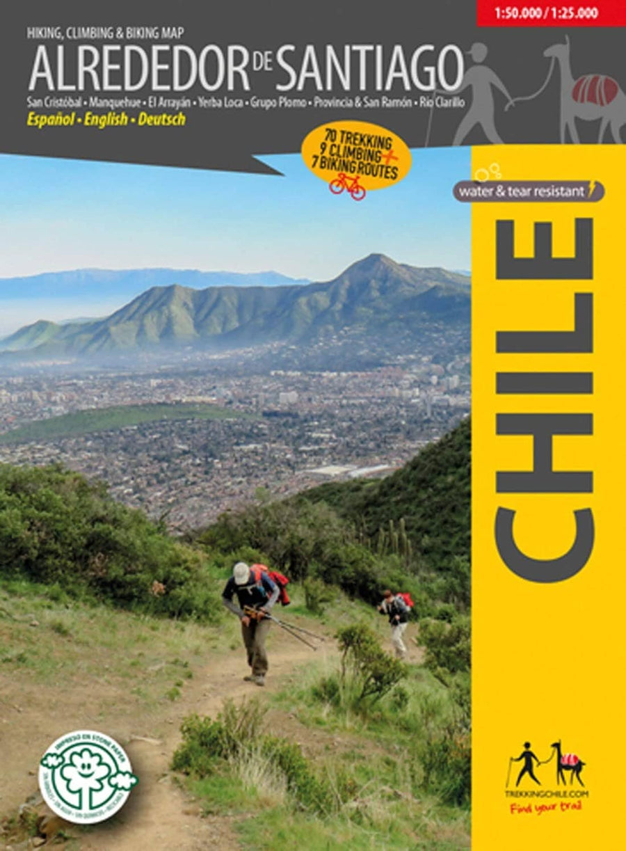
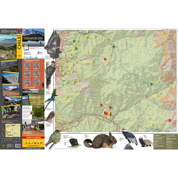
The Condor Circuit at 1:50,000/1:25,000 in a series of contoured, GPS-compatible trekking and exploration maps at various scales from Trekkingchile. The main 1:50,000 map covers the trekking area from Vilches Alto and Parque Ingles eastward, beyond Volcan Descabezado Grande. The contour lines are spaced 50 meters apart. The map shows local roads, paths, and trekking trails. Symbols highlight various accommodation facilities (hotels, campsites, refuges), restaurants and grocery stores, sports and recreational sites, etc. The map has a UTM grid, plus margin ticks for latitude and longitude at 1'.
On the reverse, two areas are depicted in more detail at a scale of 1:25,000: the Altos de Lircay National Reserve and the Siete Tazas National Park. There is also a table listing local amenities with contract numbers, indicating the services provided there.
The maps in the Trekkingchile series use satellite imagery as a base, with contour lines and colors to indicate different terrain and habitat types. Unless otherwise noted in individual descriptions, the maps have a UTM grid, plus margin ticks for latitude and longitude. The maps are annotated with tourist information, and most titles include a street map of the region's main town. Many are illustrated with drawings of local flora or fauna. Map legends and other text include English.
ISBN/EAN : 9789568925444
Publication date: 2018
Unfolded dimensions: 24.02 x 38.58 inches / 61 x 98cm
Language(s): English Spanish
Weight:
150 g


