Road map - Transylvannie (Romania) | Freytag & Berndt

Price
Regular price $14.00
Regular price Sale price $14.00
Save $-14
/
  • Shipping within 24 working hours from our warehouse in France
  • Delivery costs calculated instantly in the basket
  • Free returns (*)
  • Real-time inventory
  • In stock, ready to ship
  • Backordered, shipping soon
Tax included.

Often purchased together:

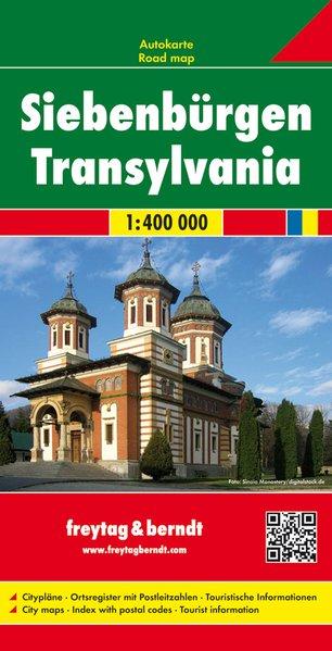
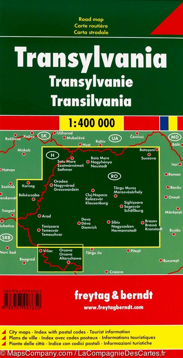
Transylvannie Road map (Romania) edited by freytag & amp Berndt. Mapping the French, French, German and Italian, distances and legend.

This detailed transylvannie map includes a notebook with a cities index and postal codes as well as the plans of several cities including Arad, Timisoara and Sibiu.


ISBN/EAN : 9783707907650
Publication date: 2017
Scale: 1/400,000 (1cm=4km)
Printed sides: front
Folded dimensions: 25.6 x 13 x 0.8cm
Unfolded dimensions: 124 x 87cm
Language(s): Czech, Dutch, English, French, German, Hungarian, Italian, Romanian, Slovak, Spanish
Weight: 200 g

Customer Reviews

Based on 5 reviews
40%
(2)
20%
(1)
40%
(2)
0%
(0)
0%
(0)
N
Nicole C.
Transylvanie

Envoi rapide, état impeccable. La Transylvanie est représentée largement vers l'ouest et le sud-ouest. Le sud immédiat est probablement présent dans la carte Roumanie Moldavie

Y
Yann L.C. (Quimper, FR)
Envoie rapide

En voie rapide, mais la carte routière à une partie caché au sud ouest par la légende, dommage.

A
Aurélia d. (Rouen, FR)
Ok

Ce que je voulais

Y
Yc
Produit correspondant à mon attente ...

Produit correspondant à mon attente et livrée dans le délai prévu.

T
Thomas D.
Looks like a pretty good map. Ledg...

Looks like a pretty good map. Ledgend Includes lots of handy detail icons like historical sites and tourist attractions, etc. Shows the type of roads (major roads, minor roads, gas stations, etc). It it large. Fully unfolded size is about 4' x 2.5'. Printed on one side and of quality paper that seems to have some sort of coating which may resist water.