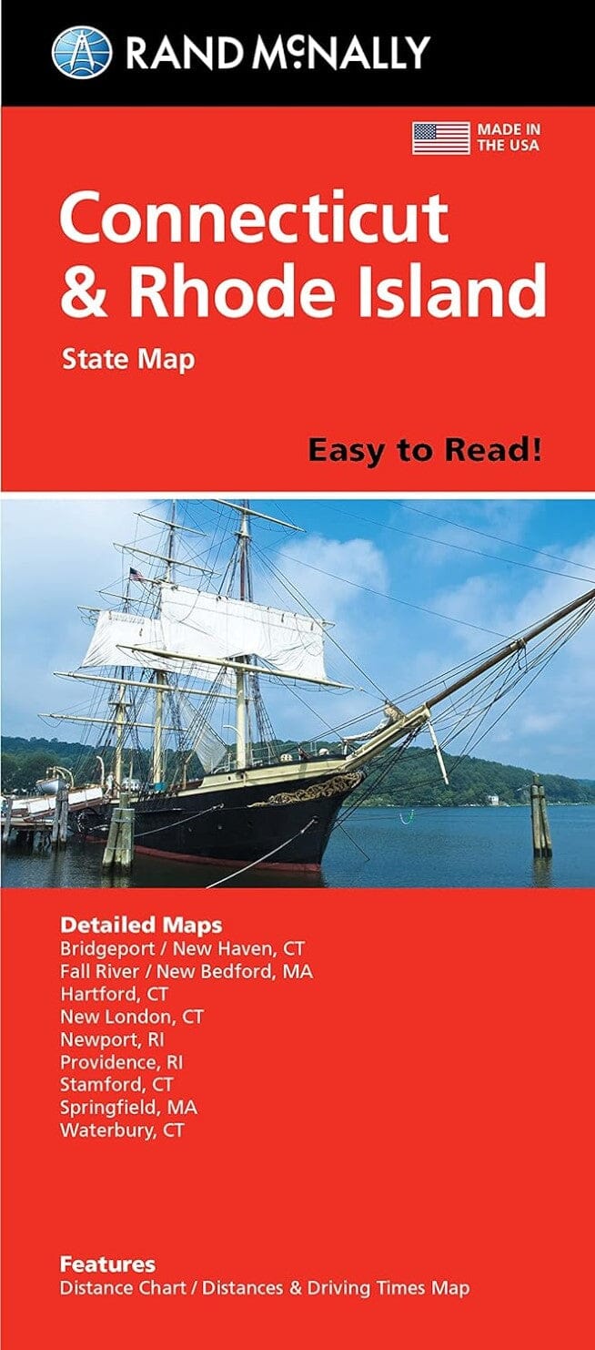
Connecticut and Rhode Island by Rand McNally

Connecticut and Rhode Island | Rand McNally

Connecticut and Rhode Island | Rand McNally

Regular price $11.00
/
  • Ships within 48 business hours from our US warehouse. For this product, customs fees may be requested by the carrier upon delivery.
  • Delivery costs calculated instantly in the basket
  • Free returns (*)
  • Real-time inventory
  • In stock, ready to ship
  • Backordered, shipping soon
Tax included.

Regularly updated, full-color maps 77% larger map with a bigger type size than the Rand McNally Folded Map Clearly labeled Interstate, U.S., state, and county highways Indications of parks, points of interest, airports, county boundaries, and more Mileage and driving times map Detailed index Convenient folded size Detailed maps of: Bridgeport/New Haven, CT; Fall River, MA; Hartford, CT; New London, CT; Newport, RI; Providence, RI; Stamford, CT; Springfield, MA; Waterbury, CT


ISBN/EAN : 9780528025679
Publication date: 2015
Folded dimensions: 9.45 inches x 4.33 inches (24 x 10 cm)
Unfolded dimensions: 40.16 inches x 27.95 inches (102 x 70 cm)
Language(s): English
Poids : 2.0 oz

Customer Reviews

Based on 1 review
100%
(1)
0%
(0)
0%
(0)
0%
(0)
0%
(0)
E
Edward L.
Great highway map ....even with a G...

Great highway map ....even with a GPS these are very helpful.