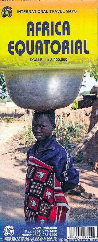
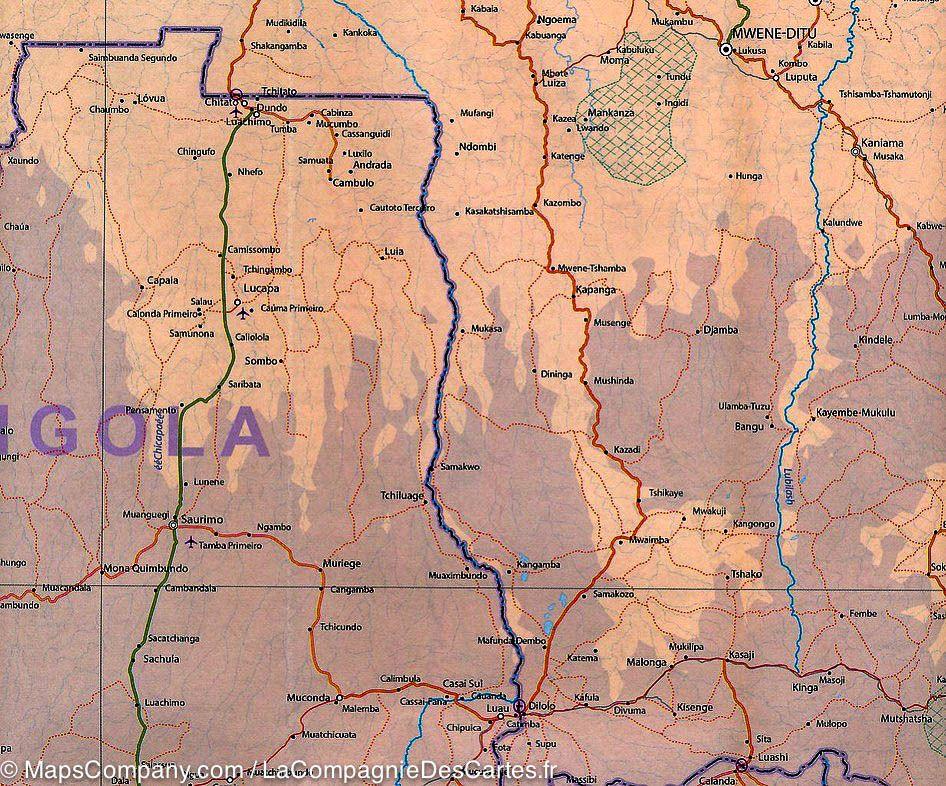
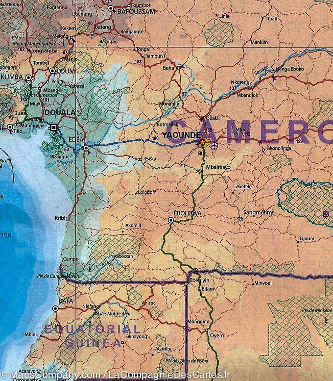
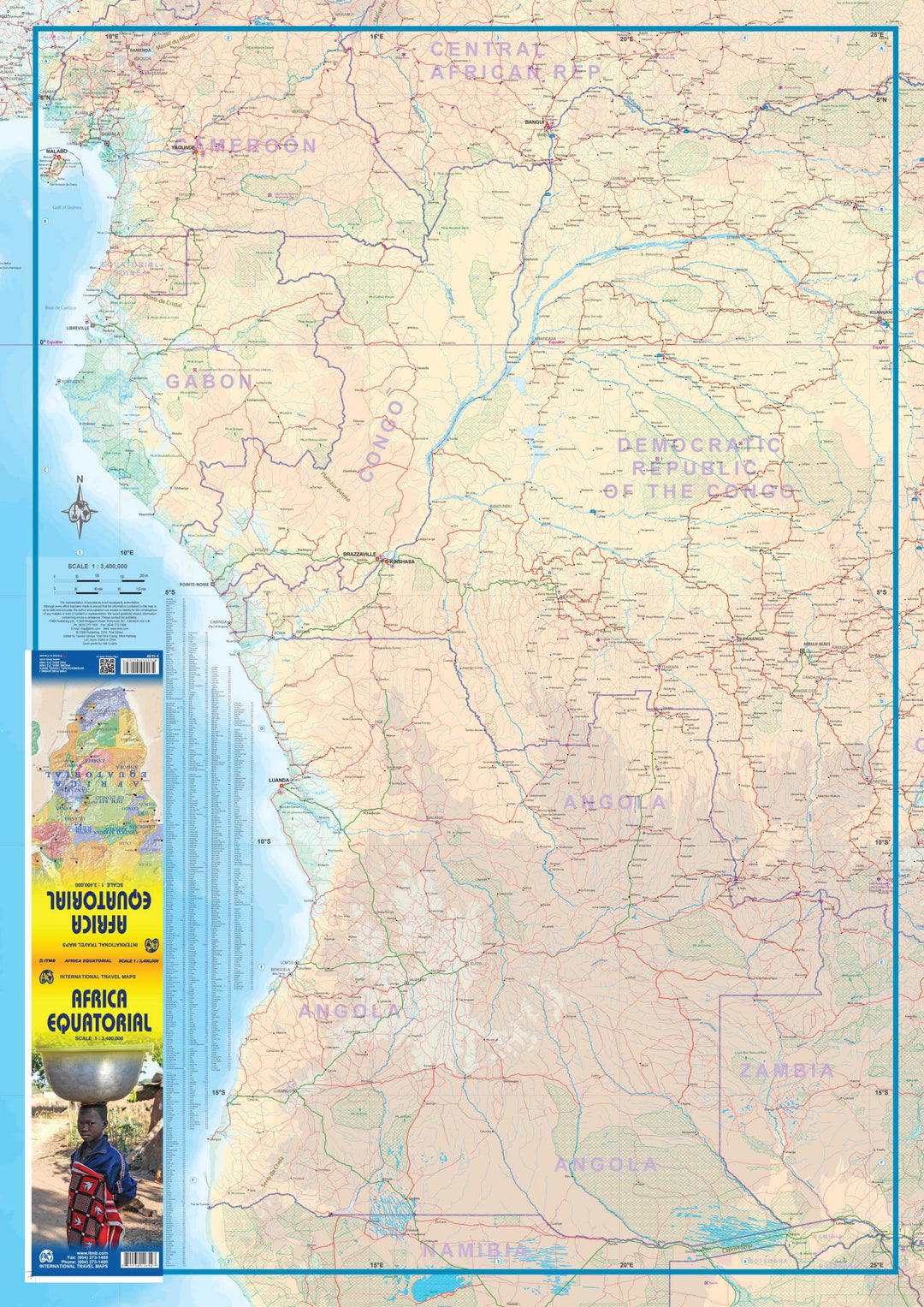
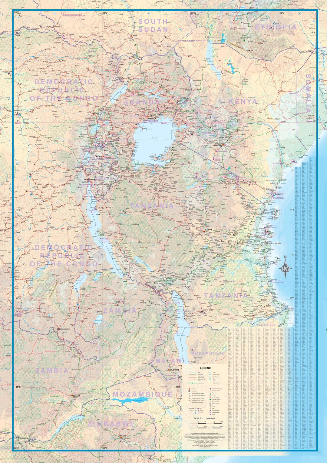
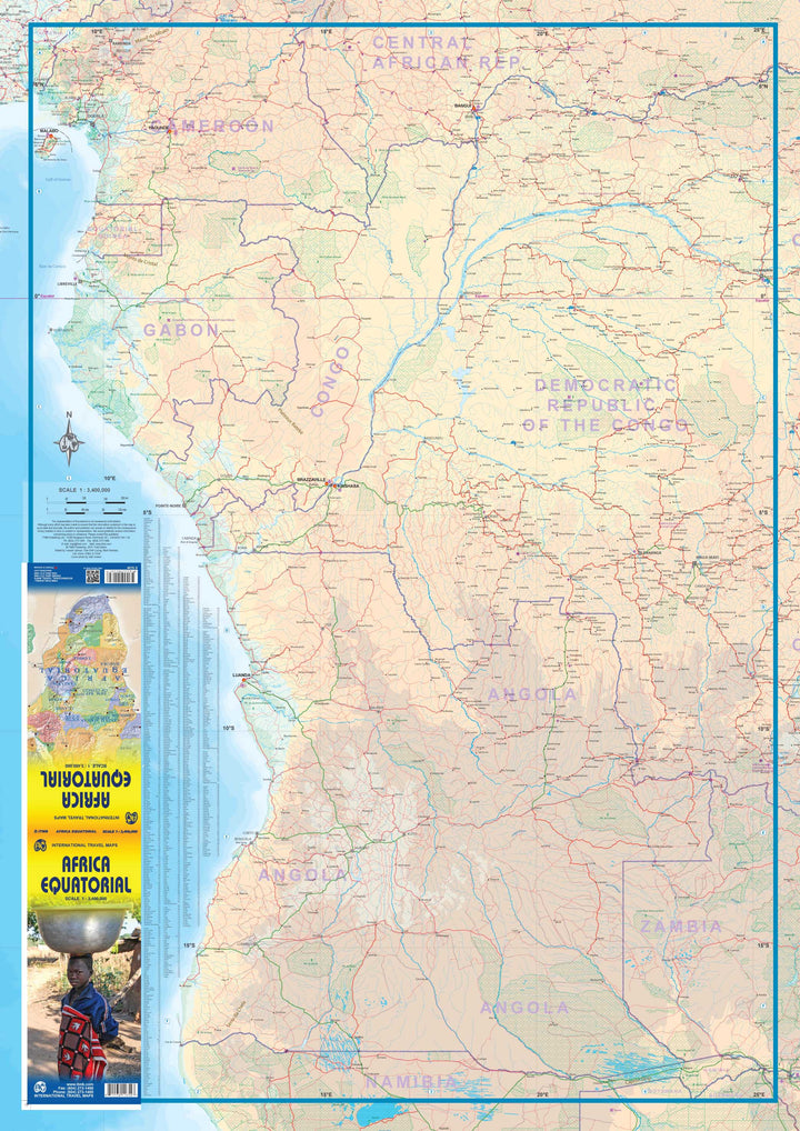
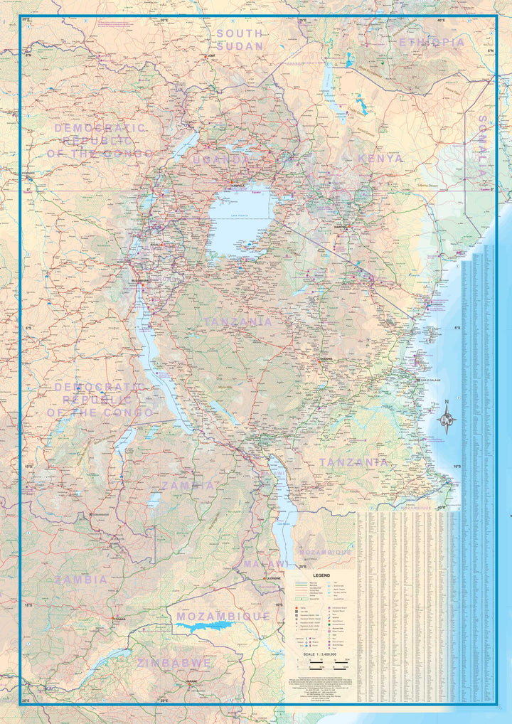
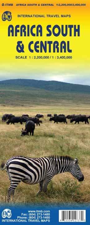
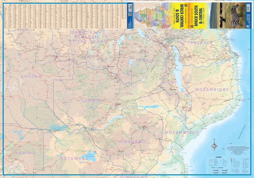
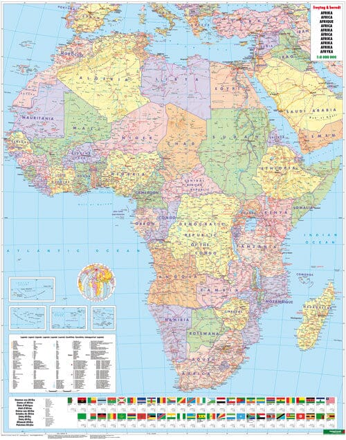
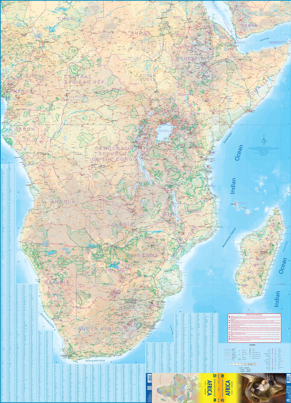
Map of Equatorial Africa published by ITM. This map covers the southern part of Nigeria / Cameroon, including Angola, Zambia, Malawi, Tanzania, Gabon, Congo and the Democratic Republic of Congo, Kenya, Uganda.
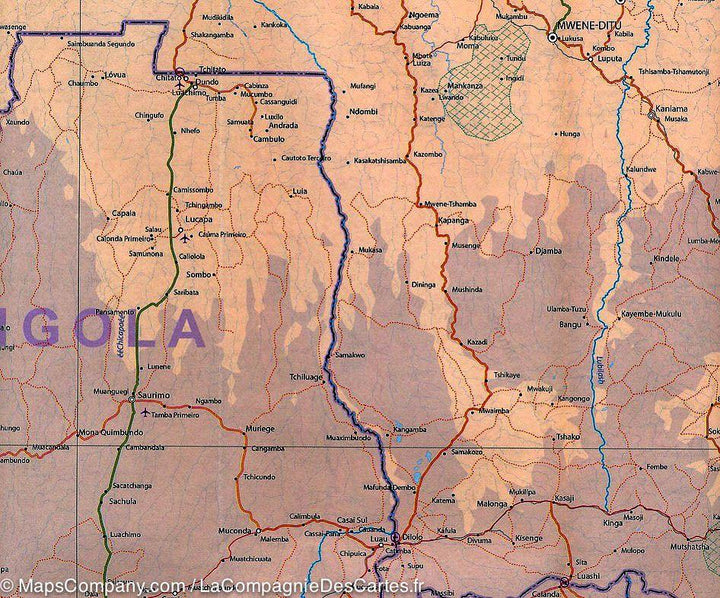
Indication of distances, urban areas, facilities, parks and attractions. The secondary roads are indicated as well as elements of the relief (lakes, waterfalls ...) and the points of interest.
Scale 1/3 400 000.
ISBN/EAN : 9781553411857
Publication date: 2014
Scale: 1/3,400,000 (1cm=34km)
Printed sides: both sides
Folded dimensions: 24.6 x 10.3 x 0.5cm
Unfolded dimensions: 100 x 68cm
Language(s): English
Weight:
52 g


