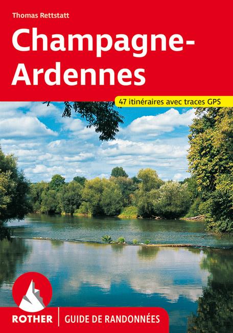
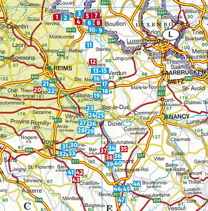
Guide to 47 Hiking in Champagne - Ardenne published by Rother. A brief description of the hike with all important information, a color map and a precise description of the itinerary for each excursion facilitate the choice and orientation on site.
Thanks to the information it overlooks the restoration possibilities, the variants and the sites to be seen, this guide will be an ideal accompanist through this country of volcanoes.
192 pages, 121 photos in color, 47 altitude profiles, 47 maps 1: 50.000 / 1: 100,000, 2 overview plans. < / span>
Relaxation and hiking: This is the banner that the champagne could wear. This region, located north - east of Paris, is not only the original place of the famous sparkling wine renowned around the world, it is also ideal for walking and relaxing. Its three nature reserves to such splendid and varied landscapes, which host a flora and fauna of incredible wealth, participate for a good part in the attraction of the place. Moreover, many curiosities bring a high cultural dimension to hikes, such as the impressive cathedrals of Reims, Langres and Troyes. This Rother "Champagne - Ardennes" Hiking guide has 47 routes that are worth the detour. The territory of champagne is mainly characterized by sweet collinean reliefs, although they also leave room for the vast plain of the Marne or the valleys collected and other meanders dug by the Meuse and the seoy in the Ardennes. There reigns preserved forest areas and picturesque lakes, bird observatories par excellence. If the greed is your main fault, the champagne is definitely made for you: many tips for tasty culinary discoveries complete the descriptive maps of the courses. The carefully established itineraries, reliable descriptions, detailed information on transport and difficulties, as well as significant altimetric profiles and accurate map extracts, contribute to the clarity of this easy - to - hand. To complete everything, GPS coordinates of the routes are downloadable for free on the website of the Rother editions. The many photos give a taste of these unforgettable escapades. Author Thomas Rettstatt is a seasoned specialist of France, he has already published several Hiking guides on this country.
ISBN/EAN : 9783763349630
Publication date: 2021
Pagination: 192 pages
Folded dimensions: 12 x 17cm
Language(s): French
Weight:
225 g


