Guide de randonnées (en anglais) - Scottish Borders | Ordnance Survey - Pathfinder guides guide de randonnée Ordnance Survey

Hiking guide (in English) - Scottish Borders | Ordnance Survey - Pathfinder guides

Price
Regular price $21.00
Regular price Sale price $21.00
Save $-21
/
  • Shipping within 24 working hours from our warehouse in France
  • Delivery costs calculated instantly in the basket
  • Free returns (*)
  • Real-time inventory
  • In stock, ready to ship
  • Backordered, shipping soon
Tax included.

Often purchased together:

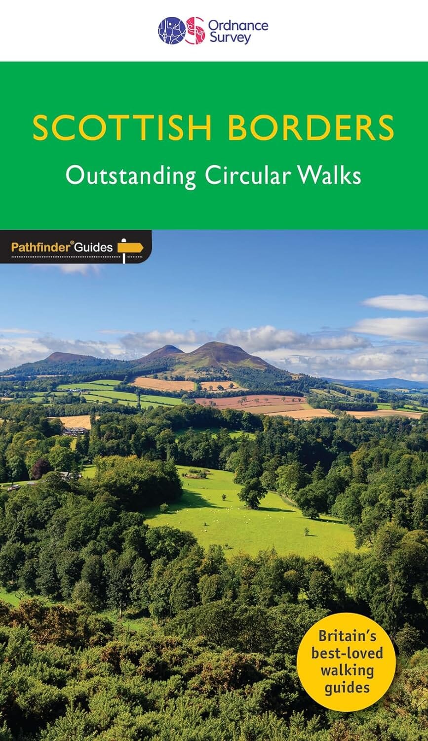
Pathfinder® guide to the Scottish Borders, featuring 28 walks.

Description from the publisher:

Pathfinder® Guide to the Scottish Borders, featuring 28 outstanding walks designed for a range of abilities covering 170 miles of walking.

Features:

  • 28 guided walks for a range of abilities
  • Large detailed Ordnance Survey map extracts
  • Key information such as parking and type of land
  • GPS waypoints for each route
  • Weather-resistant book cover
  • Durable rounded corners

This new guide to Scottish Borders has 18 brand-new Pathfinder walks across the county. There are new short walks along the Tweed Valley between Peebles and Coldstream, and along the Teviot Valley from Hawick to Kelso. The stunningly scenic coastline has new walks at Eyemouth and Cockburnspath, while inland peaceful circuits explore the heritage at Duns, Greenlaw, Lauder and St Mary's Loch.

The other much-loved walks in the book feature circuits along the coast at St Abb's Head; in the Eildon and Leaderfoot National Scenic Area; in the remote Liddesdale countryside and along the Scotland/England border using both branches of the Pennine Way from Kirk Yetholm.

Walks are professionally authored and depicted with GPS waypoints, Ordnance Survey maps and beautiful photography.

Walks are professionally authored and depicted with GPS waypoints, Ordnance Survey maps and beautiful photography.


ISBN/EAN : 9780319092583
Publication date: 2023
Pagination: 96 pages
Folded dimensions: 13.7 x 23.8cm
Language(s): English
Weight: 200 g

Customer Reviews

Be the first to write a review
0%
(0)
0%
(0)
0%
(0)
0%
(0)
0%
(0)
Carte de randonnée - West Highland Way XT40 | Harvey Maps - National Trail maps carte pliée Harvey Maps
Hiking map - West Highland Way XT40 | Harvey Maps - National Trail Maps
Harvey Maps
$27.00
Carte de randonnée n° 392 - Ben Nevis, Fort William (Grande Bretagne) | Ordnance Survey - Explorer carte pliée Ordnance Survey
Hiking map # 392 - Ben Nevis, Fort William (Great Britain) | Ordnance Survey - Explorer
Ordnance Survey
from $21.00
Carte de randonnée n° 408 - Skye, Trotternish, The Storr (Grande Bretagne) | Ordnance Survey - Explorer carte pliée Ordnance Survey
Hiking map # 408 - Skye, Trottish, The Storr (Great Britain) | Ordnance Survey - Explorer
Ordnance Survey
from $21.00
Carte topographique n° 023 - North Skye (Grande Bretagne) | Ordnance Survey - Landranger carte pliée Ordnance Survey
Topographic map # 023 - North Skye (Great Britain) | Ordnance Survey - Landranger
Ordnance Survey
from $21.00
Guide de randonnées (en anglais) - Isle of Skye walker's guide over 80 walks & scrambles | Cicerone guide de randonnée Cicerone
Hiking guide - Isle of Skye walker's guide over 80 walks & scrambles | Cicerone
Cicerone
$25.00