Hiking guide - Pembrokeshire Coast Path National trail | Cicerone

Price
Regular price $26.00
Regular price Sale price $26.00
Save $-26
/
  • Shipping within 24 working hours from our warehouse in France
  • Delivery costs calculated instantly in the basket
  • Free returns (*)
  • Real-time inventory
  • Low stock - 1 item left
  • Backordered, shipping soon
Tax included.

Often purchased together:

Topoguide (in English) of the Cicerone publisher.
Description Provided by the publisher:
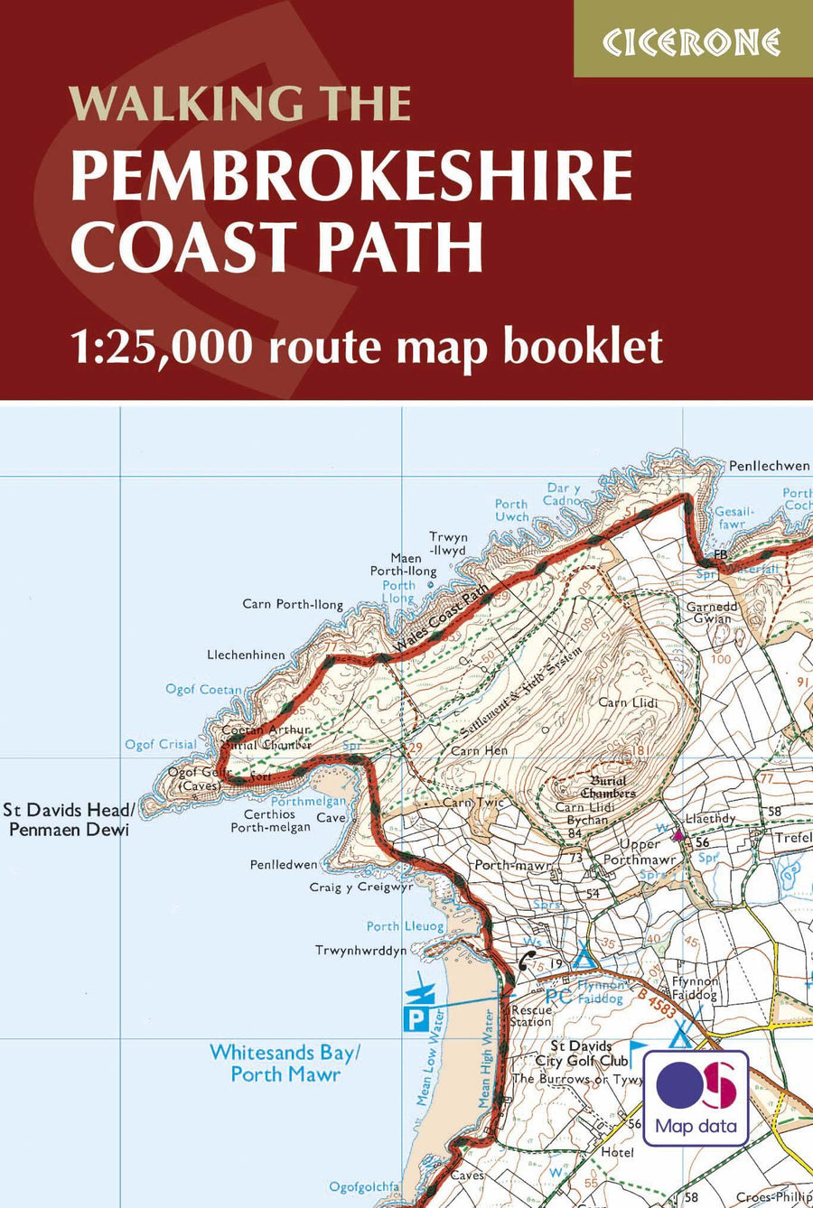
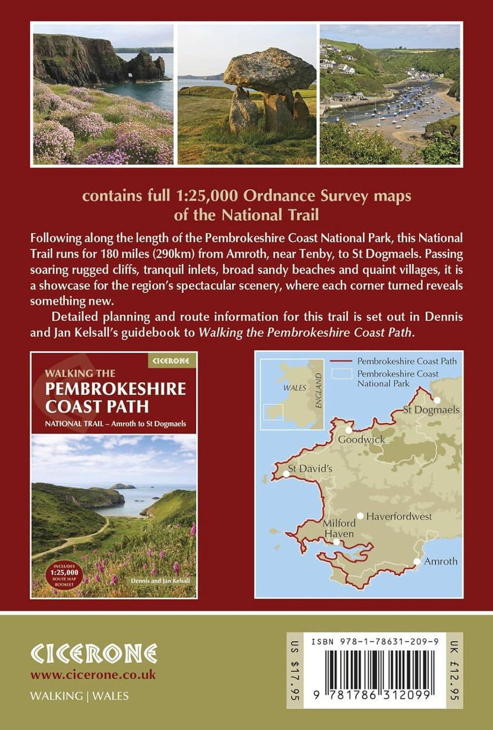
This guidebook Describes The Pembrokeshire Coast Path National Trail. The Scenic 180 Mile (291 km) Long - Distance Walk from Amroth to St Dogmaels Takes around 2 weeks to walk, with soaring Rugged Cliffs, tranquil inlets and brood Sandy Beaches. With planisphere schedules, road description and accommodation guidance. Includes A 1: 25,000 Map Booklet.
Seasons: The Pembrokeshire Coastal Path Can Be Walked Throughout The Year. Accommodation May Be More Scarce In The Winter Months, Googy Purpose High Summer As It Will Be Even More Difficult to Find.
Centers: Tenby, Stackpole Quay, Freshwater, Pembroke, Milford Haven, Dale, St Brides, Newgale Sands, St Davis, Whitesands Bay, Aber Castle, Strumble Head, Goodwick, FishGuard, Newport.
Difficulty: StraightForward Walking, Although The Road Does Amount to An Overall Ascent of 30,000 Feet. MUST SEE: Outstanding Coastal Views, BirdWatching and Sea Wildlife, Unspoilt Landscape (With the Exception of Milford Haven and Fishguard), Generally Mild Climate.


ISBN/EAN : 9781786312082
Publication date: 2024
Pagination: 264 pages
Folded dimensions: 12 x 17cm
Language(s): English
Weight: 431 g

Customer Reviews

No reviews yet
0%
(0)
0%
(0)
0%
(0)
0%
(0)
0%
(0)
More from Hiking in Wales
Guide de randonnées (en anglais) - Pembrokeshire Coast Path map booklet | Cicerone guide de randonnée Cicerone
Carnet d'titinéraires (en anglais) - Pembrokeshire Coast Path | Cicerone guide de randonnée Cicerone
Hiking guide - Pembrokeshire Coast Path | Cicerone
Cicerone
$19.00
Carte de randonnée - Anglesey Coastal Path XT40 | Harvey Maps - National Trail maps carte pliée Harvey Maps
Hiking map - Angley Coastal Path XT40 | Harvey Maps - National Trail Maps
Harvey Maps
$27.00
Carte de randonnée - Brecon Beacons Est XT25 | Harvey Maps - Superwalker maps carte pliée Harvey Maps
Hiking map - Brecon Beacons East XT25 | Harvey Maps - Superwalker Maps
Harvey Maps
$27.00
Carte de randonnée - Brecon Beacons Est XT40 | Harvey Maps - Ultramap carte pliée Harvey Maps
Hiking map - Brecon Beacons East XT40 | Harvey Maps - Ultramap
Harvey Maps
$20.00