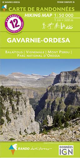
Hiking Map # 12 - Gavarnie & Ordesa (Pyrenees) | Rando Editions (French)

Carte de randonnée n° 12 - Gavarnie & Ordesa (Pyrénées) | Rando Editions carte pliée Rando Editions

Hiking Map # 12 - Gavarnie & Ordesa (Pyrenees) | Rando Editions (French)

Regular price $17.00
/
  • Shipping within 24 working hours from our warehouse in France
  • Delivery costs calculated instantly in the cart
  • Free returns (*)
  • Real-time inventory
  • In stock, ready to ship
  • Inventory on the way
Tax included.

Often purchased together:

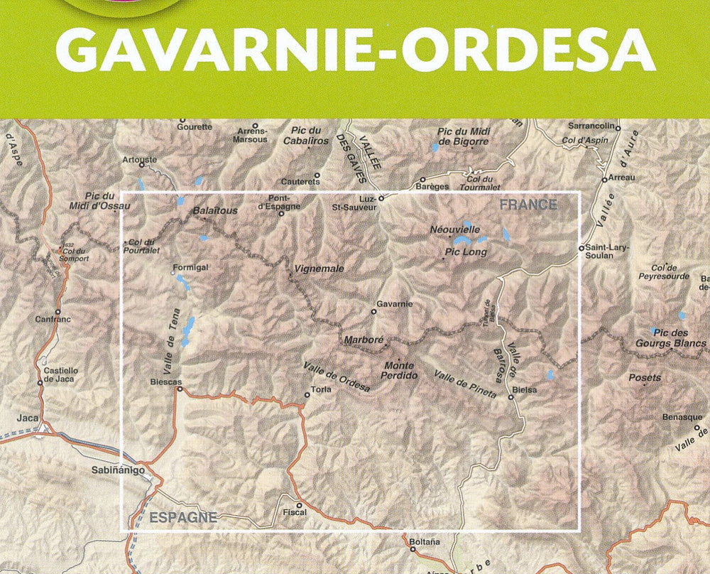
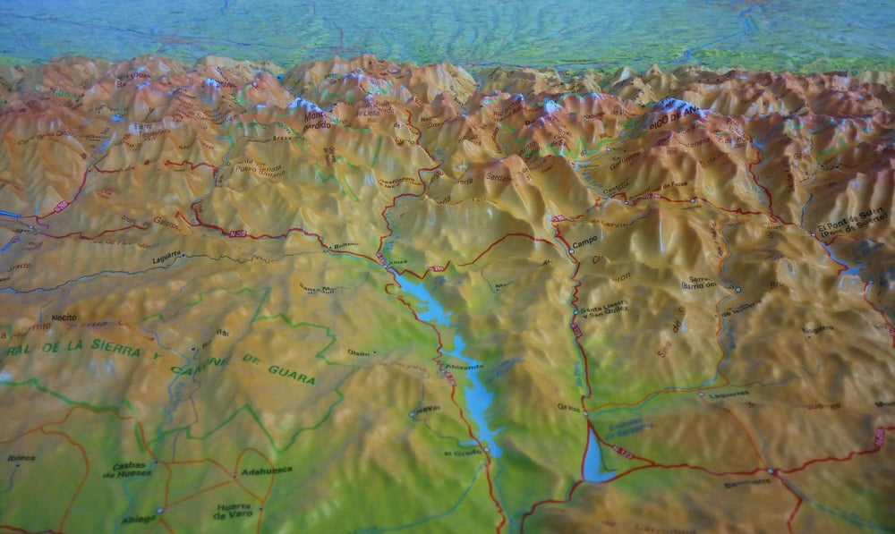
Hiking Map of the Gavarnie region and Ordesa National Park. (Pyrenees) edited by Rando Editions.
Covers in particular the Vignemale, the Mount Lost and Pic de Balaïtous.
Topographic Map with level curves and useful information to the mountain practice included. Scale 1/50 000 (1 cm = 500 m).


ISBN/EAN : 9782344026663
Publication date: 2018
Scale: 1/50,000 (1cm=500m)
Printed sides: front
Folded dimensions: 22.5 x 11 x 0.5cm
Unfolded dimensions: 131 x 90cm
Language(s): French English
Poids : 90 g

Customer Reviews

Based on 7 reviews
100%
(7)
0%
(0)
0%
(0)
0%
(0)
0%
(0)
M
MARTIAL M. (Thionville, FR)
RECEPTION_ et PRODUIT

tres bien rapide ras

j
jch v. (Biarritz, FR)

RAS

F
François C. (Villefontaine, FR)
Très bien

Carte arrivée dans les délais annoncés. Suivi parfait. La carte elle-même, au demeurant très lisible, sera évaluée sur place donc plus tard ;-).

B
Bruno F. (Grenoble, FR)
parfait!

Pas de problème !

C
Cyrille B. (La Courneuve, FR)
Impeccable

Livraison parfaite

More from Rando Editions
Carte générale touristique - Pyrénées | Rando Editions carte pliée Rando Editions
General Tourist Map - Pyrenees | Rando Editions (French)
Rando Editions
$13.00
Carte de randonnée n° 1 - Pays Basque Ouest (Labourd, Basse-Navarre) | Rando Editions carte pliée Rando Editions
Hiking Map # 1 - West Basque Country (Labourd, Lower Navarre) | Rando Editions (French)
Rando Editions
$17.00
Carte de randonnée n° 2 - Pays Basque Est (Pyrénées) | Rando Editions carte pliée Rando Editions
Hiking Map # 2 - Basque Country East (Pyrenees) | Rando Editions (French)
Rando Editions
$17.00
Carte de randonnée du Béarn (Pyrénées), n°3 | Rando Editions - La Compagnie des Cartes
Hiking Map # 3 - Béarn (Pyrenees) | Rando Editions (French)
Rando Editions
$17.00
Carte de randonnée n° 4 - Bigorre (Pyrénées) | Rando Editions carte pliée Rando Editions
Hiking Map # 4 - Bigorre (Pyrenees) | Rando Editions (French)
Rando Editions
$17.00
Recently viewed