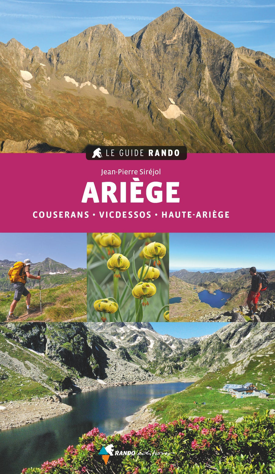
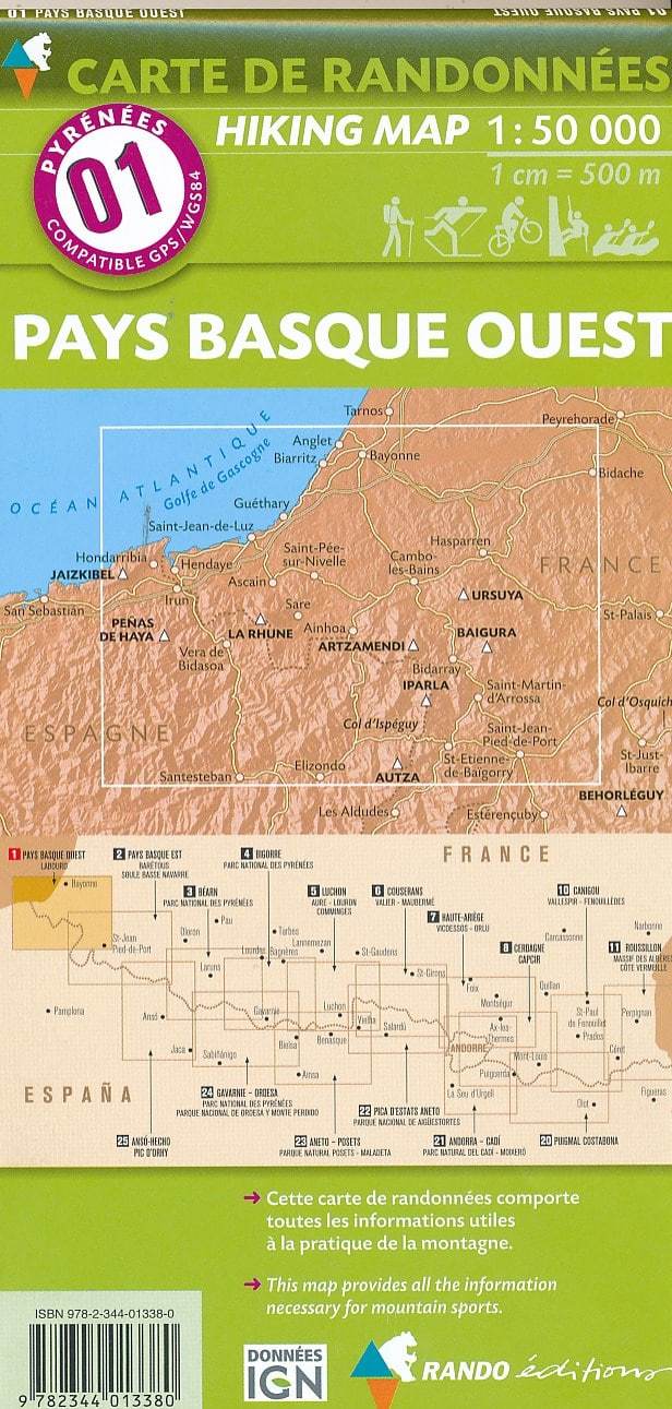
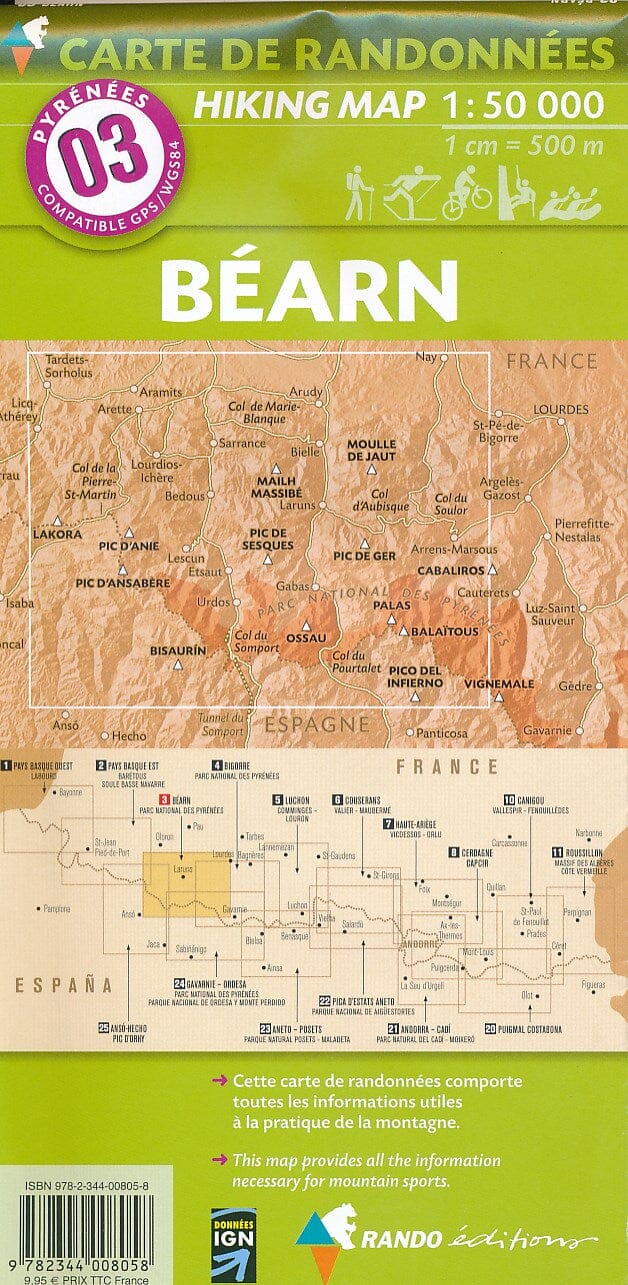
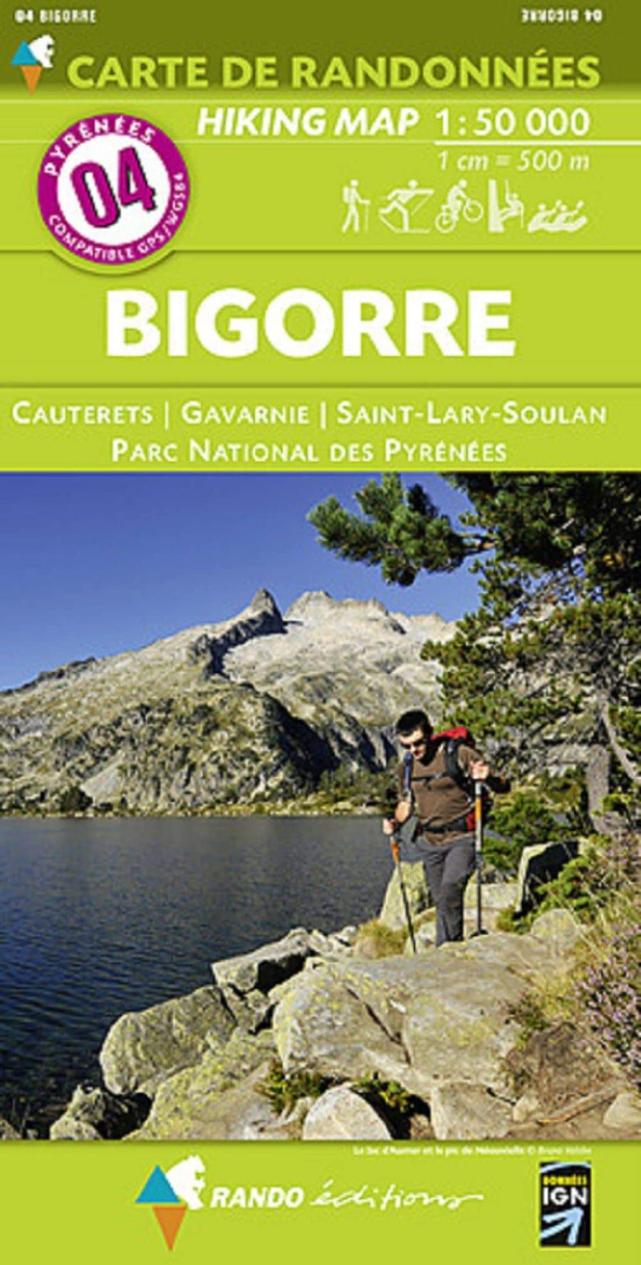
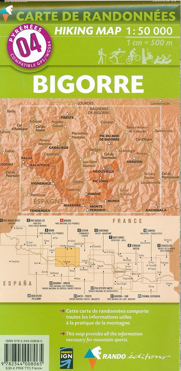
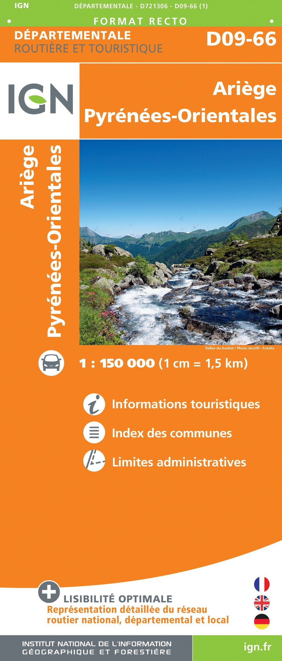
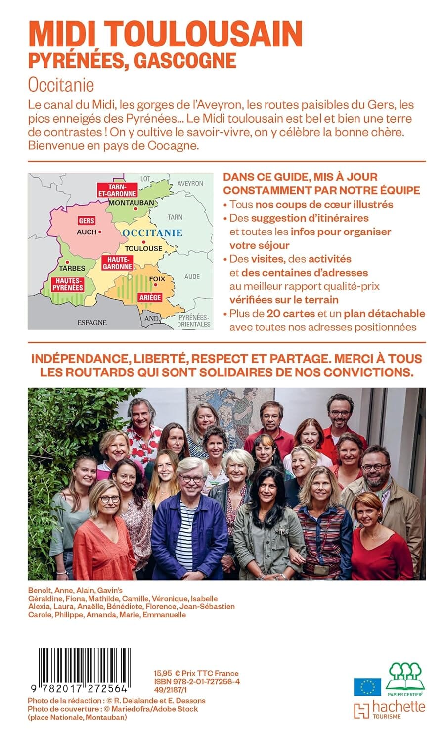
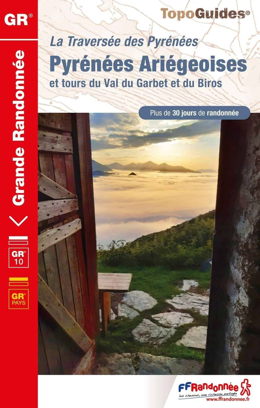
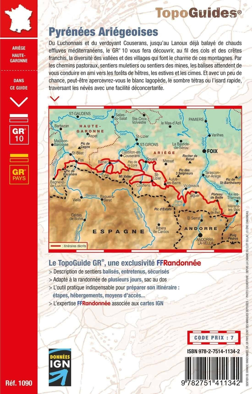
The Rando Guide - Ariège (Couserans, Vicdessos, Haute - Ariège) | Rando Editions (French)
Regular price
$21.00
Regular price
Sale price
$21.00
Save $-21
/
- Shipping within 24 working hours from our warehouse in France
- Delivery costs calculated instantly in the basket
- Free returns (*)
- Real-time inventory
Related geographic locations and collections: Ariège (department 09), Ariège Pyrenees, Couserans, Mauberme Peak, Mont Valier, Pica d'Estats, Pyrenees, Pyrenees - Hiking guides, Rando Editions, Travel guides & practical guides, Vicdessos