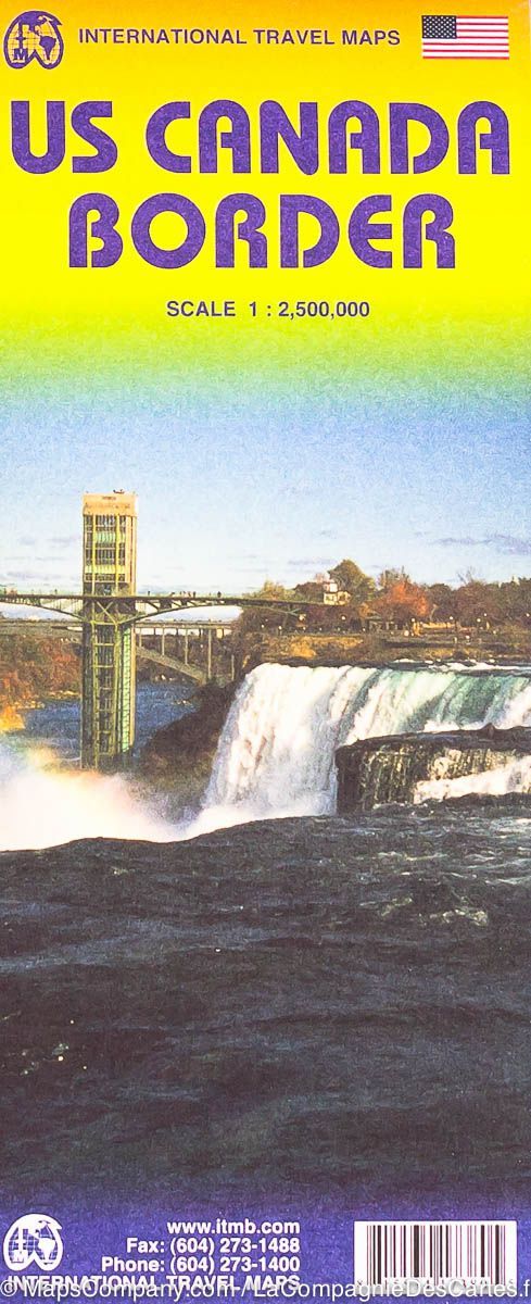
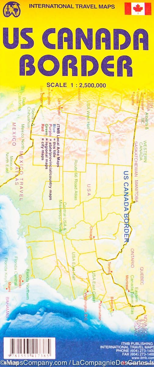
Carte frontalière USA-Canada | ITM carte pliée ITM

USA-Canada border map | ITM

USA-Canada border map | ITM

Regular price $15.00
/
  • Shipping within 24 working hours from our warehouse in France
  • Delivery costs calculated instantly in the basket
  • Free returns (*)
  • Real-time inventory
  • In stock, ready to ship
  • Backordered, shipping soon
Tax included.
Northern United States and South American Road Map (from Quebec to North in New York south) edited by ITM. Relief mapping, the main distances indicated. Small plans from Victoria's cities and city center of Vancouver, plus agglomerations of Seattle, New York, Boston, Chicago, Toronto and the Sault Sainte Marie area. Cities index included with this detailed map.


ISBN/EAN : 9781553417385
Publication date: 2011
Scale: 1/2,500,000 (1cm=25km)
Printed sides: both sides
Folded dimensions: 24.6 x 10.3 x 0.5cm
Unfolded dimensions: 100 x 69cm
Language(s): English
Poids : 52 g

Customer Reviews

Based on 1 review
100%
(1)
0%
(0)
0%
(0)
0%
(0)
0%
(0)
B
Bruno J. (Saint-Gilles les Bains, RE)

Le colis n est toujours pas arrivé .........?????..aujourd'hui 27 décembre..?......?