Hiking map - Val Aran (Catalan Pyrenees) | Alpina

Price
Regular price $16.00
Regular price Sale price $16.00
Save $-16
/
  • Shipping within 24 working hours from our warehouse in France
  • Delivery costs calculated instantly in the basket
  • Free returns (*)
  • Real-time inventory
  • In stock, ready to ship
  • Backordered, shipping soon
Tax included.

Often purchased together:

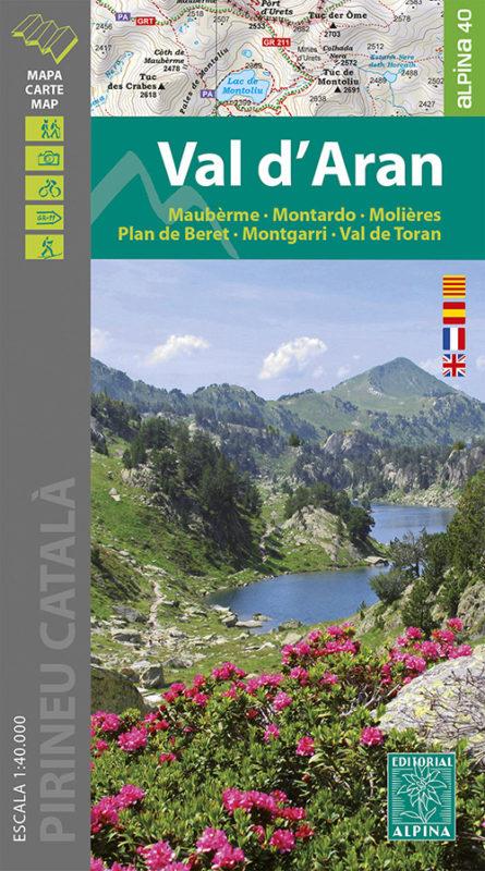
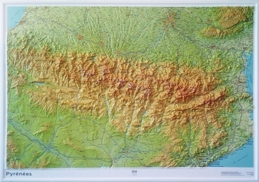
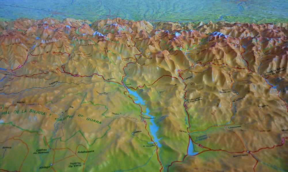
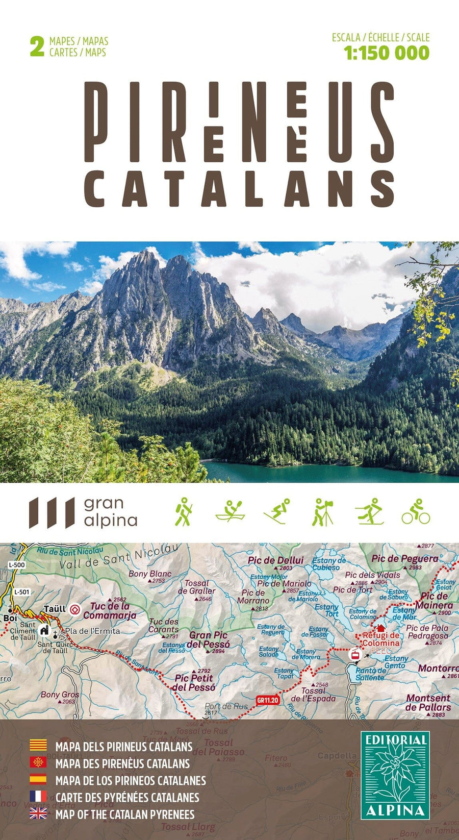
Detailed hiking map of the Val Aran region (Catalan Pyrenees, Spain).

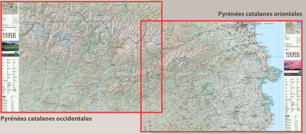
Map sector: Western Catalan Pyrenees. Area of ​​Val Aran and around.

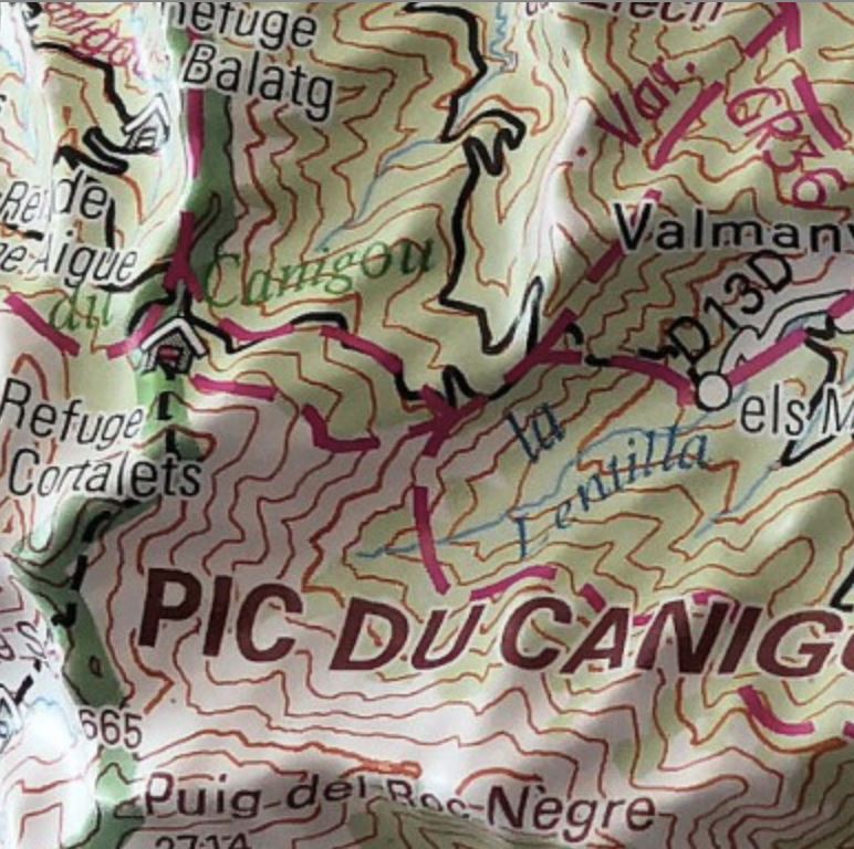
The detailed map, edited by Editorial Alpina, is in color with the level curves. Indication of marked trails (gr, pr), trails, shelters, waterfalls, etc.

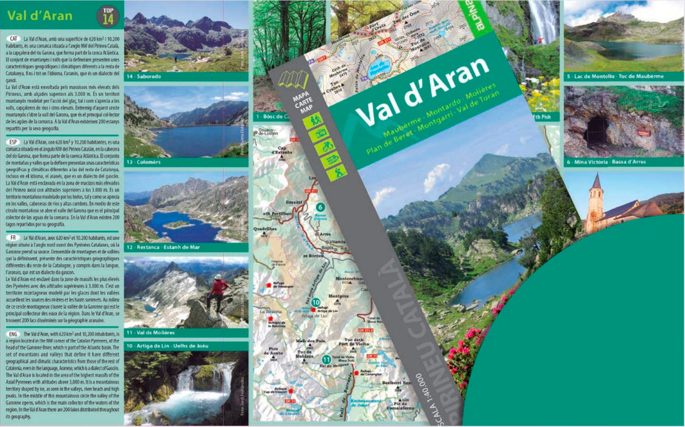
The map comes with a folder including:
• Refuges kept
• Hiking
• Geographic information
• Top14: points of interest.

Scale 1/40 000 (1 cm = 400 m).


ISBN/EAN : 9788480908771
Publication date: 2021
Scale: 1/40,000 (1cm=400m)
Printed sides: front
Folded dimensions: 21 x 11.5 x 0.5cm
Unfolded dimensions: 97 x 82cm
Language(s): French, Anglias, Catalan, Castilian
Weight: 148 g

Customer Reviews

Based on 8 reviews
88%
(7)
13%
(1)
0%
(0)
0%
(0)
0%
(0)
R
Roger R. (Bonnat, FR)
Satisfait

Envoi rapide, correspond à mes attentes

g
gaelle d. (Orange, FR)
ravie de ma commande!

Carte demandée conforme à mes souhaits, envoi rapide, grand choix de cartes.

M
Moulian (Marmande, FR)

Service rapide, produit correspond à l'attente, tutto va bene

G
Guy F. (Arcens, FR)
Parfait

Carte parfaite manque plus que des itinéraires de rando
déjà construit.

C
Chantale M.
Satisfait

Merci , très belle carte.