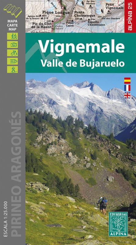
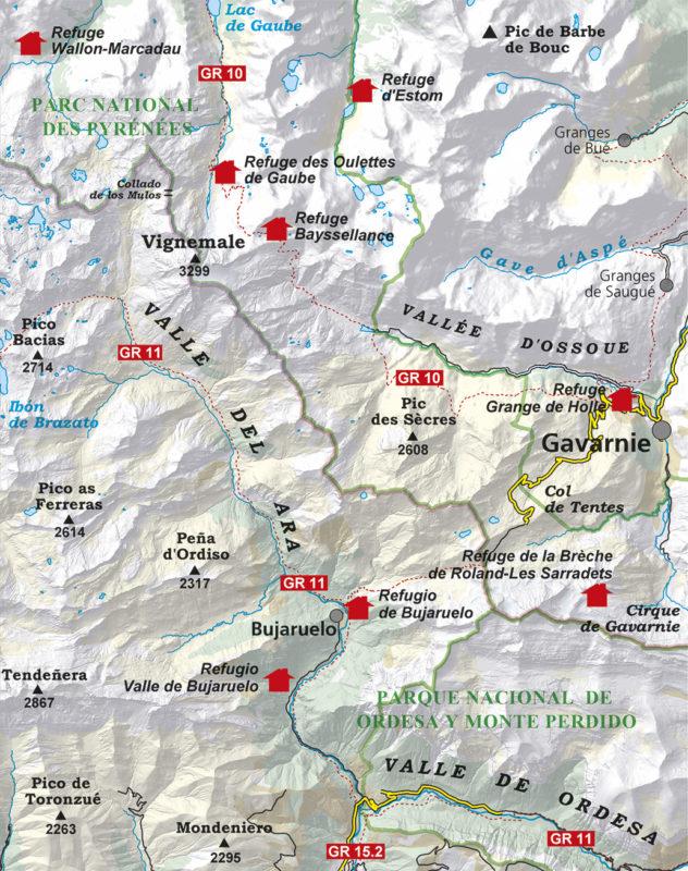
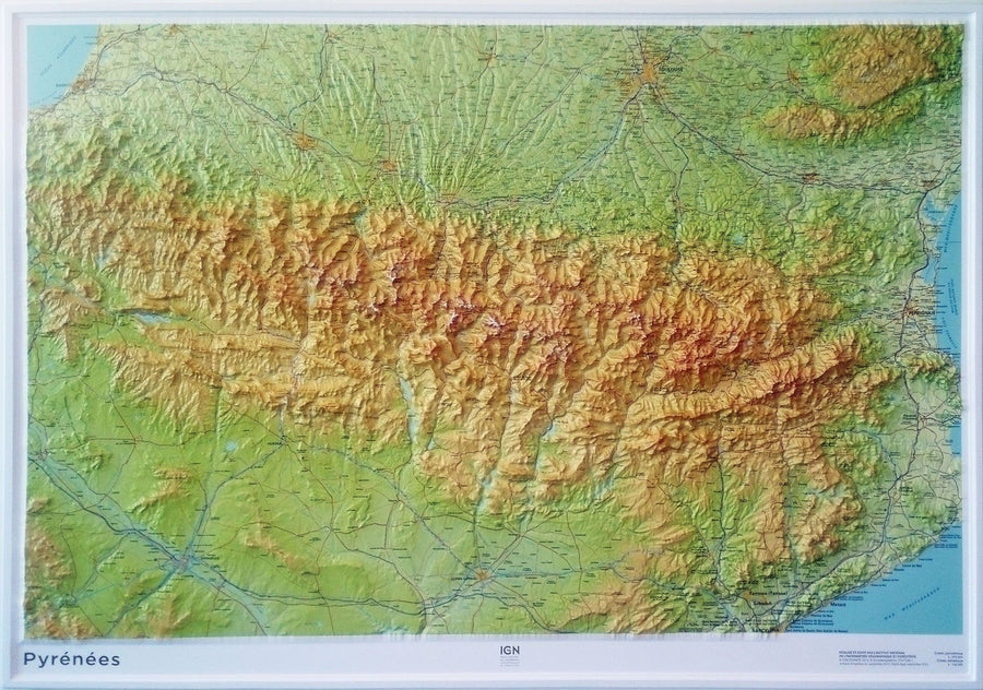
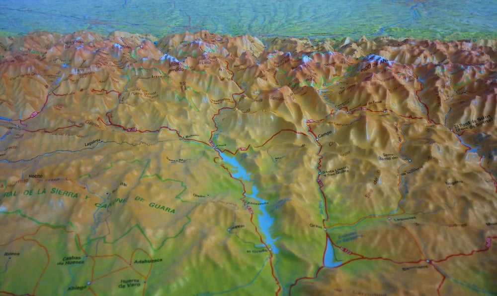
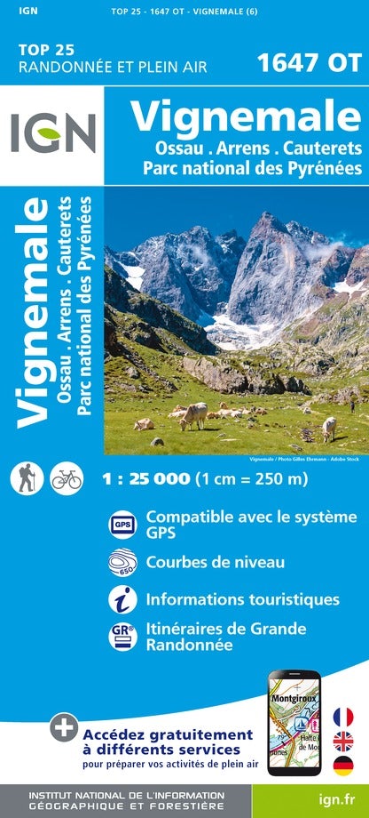
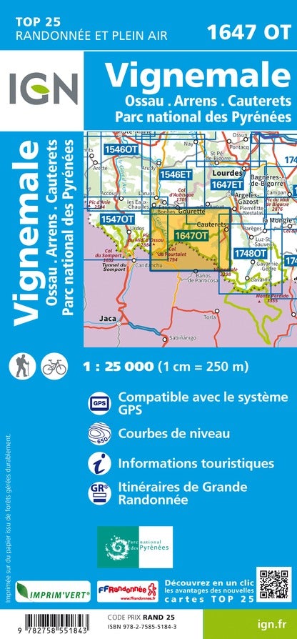
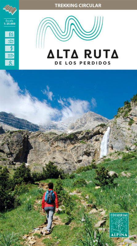
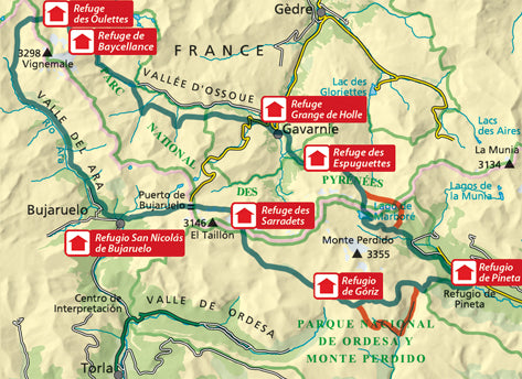
Detailed topographic map of the Vigne Massif and Bujaruelo Valley.
Map sector: Aragonese Pyrenees. Vigne Massif, Bujaruelo Valleys, Ordesa, Ossoue, Gaube and Gavarnie.
This map covers part of the Pyrenees National Park.
The detailed map, edited by Editorial Alpina, is in color with the level curves. Indication of the marked trails (gr, pr), trails, shelters, waterfalls, etc.
The map comes with a folder including:
• Refuges
• Hiking
• Information about the National Park
• Top10: points of interest.
1/25 000 scale (1 cm = 250 m).
ISBN/EAN : 9788480908702
Publication date: 2021
Scale: 1/25,000 (1cm=250m)
Printed sides: front
Folded dimensions: 21 x 11.5 x 1cm
Unfolded dimensions: 68x98cm
Language(s): French, Castilian, English
Weight:
156 g


