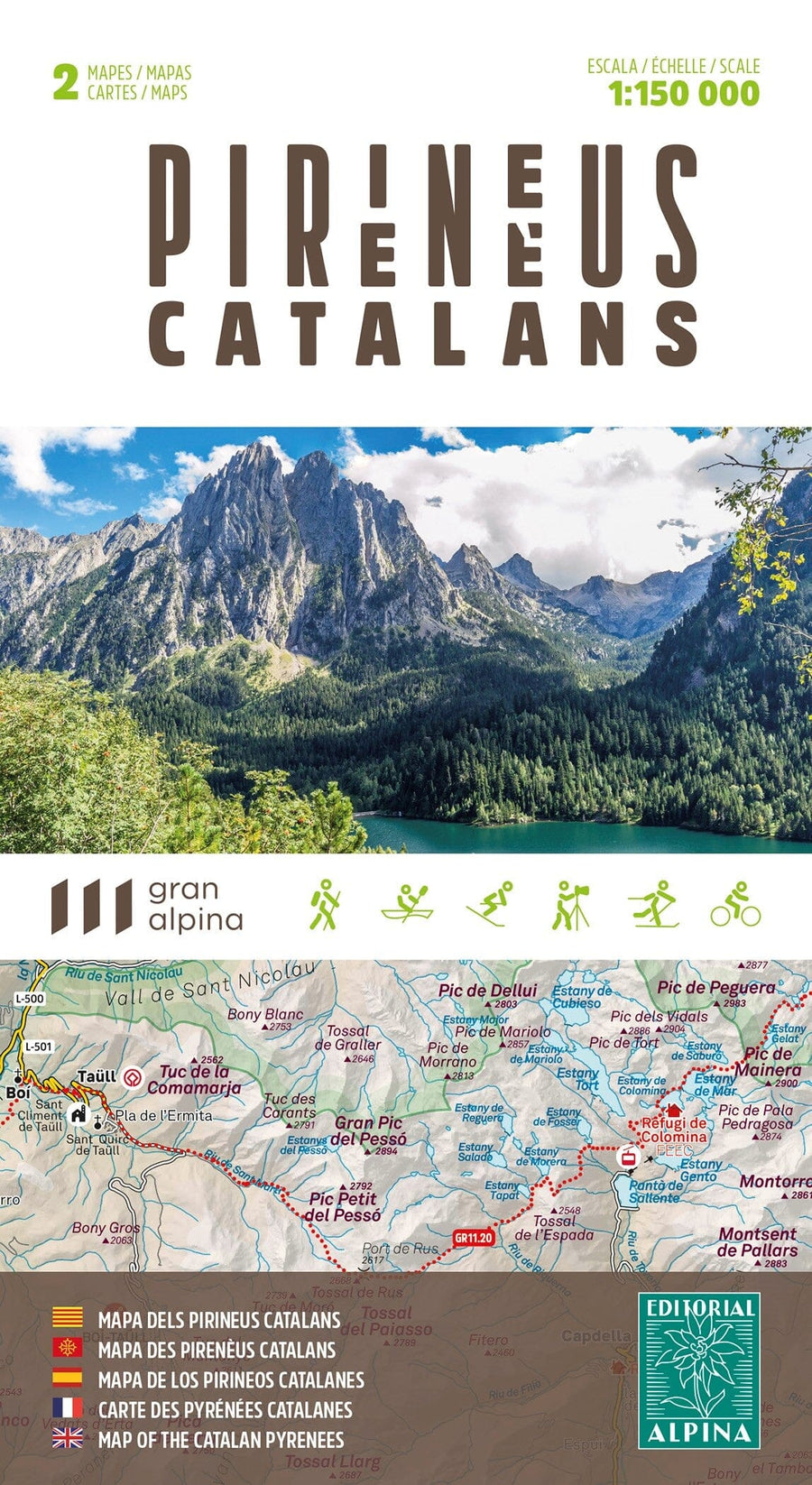
Detailed hiking map of the Puigsacalm region (Catalan Pyrenees, Spain).
Covered area: Pre-Pyrenees and Catalan Transversal Range (Osona, Garrotxa, and Ripollès).
Map features: A topographic map at a 1:25,000 scale, including hiking, ethnological, and natural points of interest: marked trails (GR, PR, and SL), paths, shelters, caves, springs, and more.
The foldable flap includes:
• Points of interest
• Hiking routes
• Must-see sites
ISBN/EAN : 9788470111280
Publication date: 2024
Scale: 1/25,000 (1cm=250m)
Printed sides: front
Folded dimensions: 21 x 11 x 0.5cm
Unfolded dimensions: 98 x 68cm
Language(s): Catalan
Weight:
100 g


