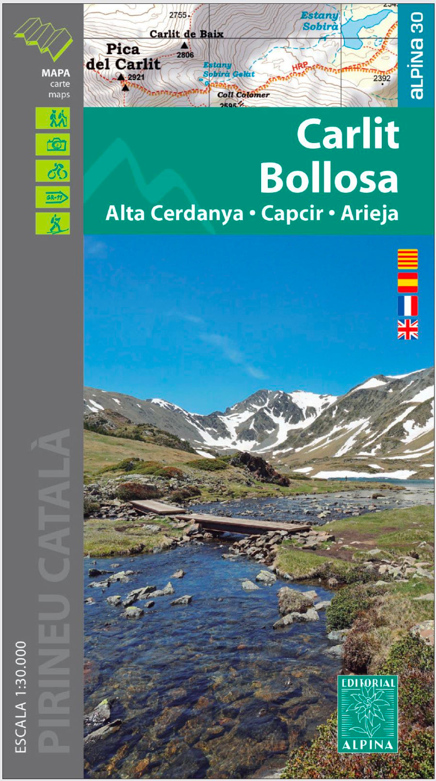
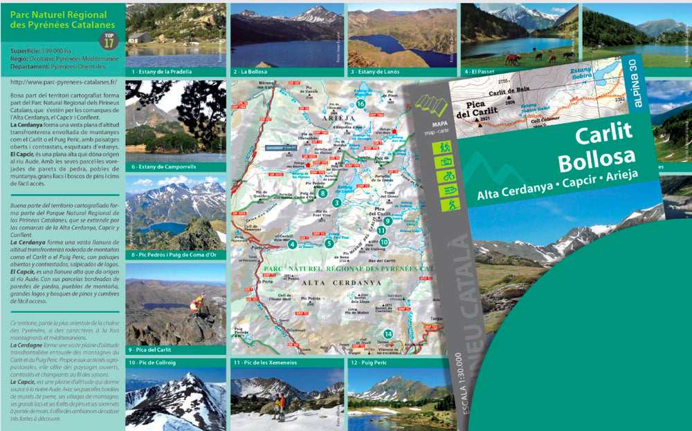
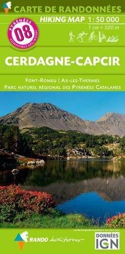
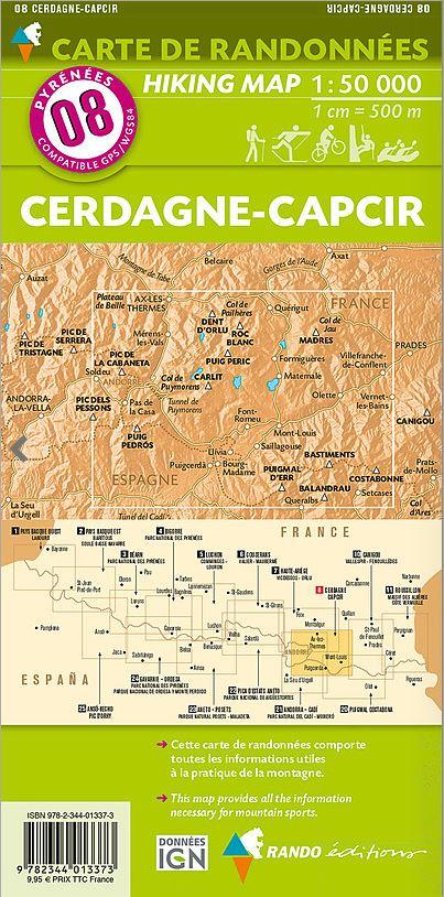
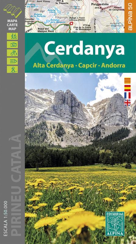
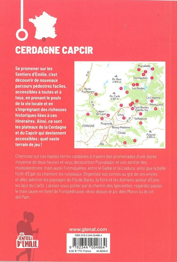
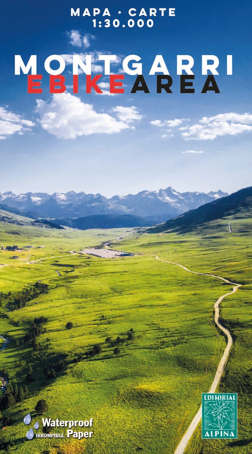
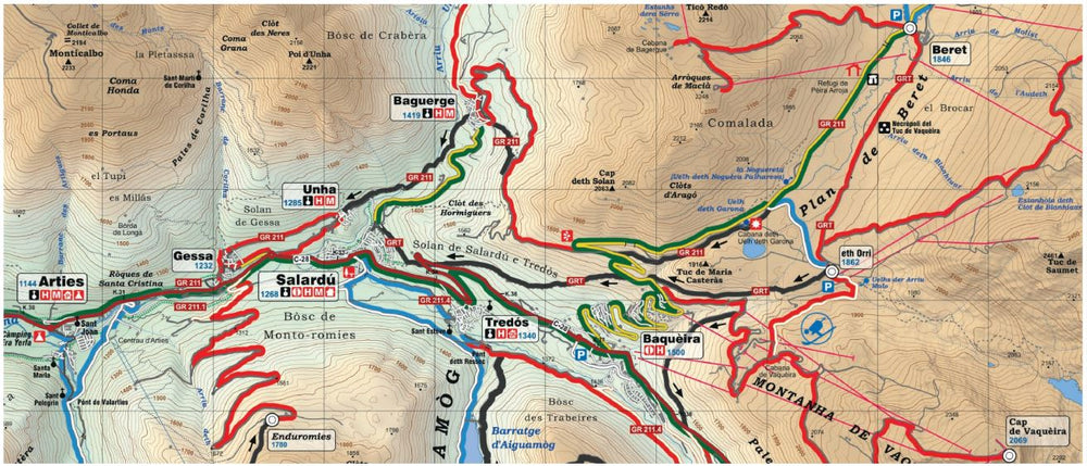
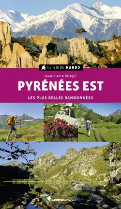
Hiking map - Carlit, Bollosa (Catalan Pyrenees) | Alpina
Regular price
$17.00
Regular price
Sale price
$17.00
Save $-17
/
- Shipping within 24 working hours from our warehouse in France
- Delivery costs calculated instantly in the basket
- Free returns (*)
- Real-time inventory
- In stock, ready to ship
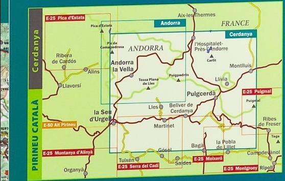
Related geographic locations and collections: Ariège (department 09), Ariège Pyrenees, Capcir, Catalan Pyrenees, Cerdanya, Editorial Alpina, Pic Carlit, Pyrenees, Pyrénées-Orientales (department 66), Spanish Pyrenees, Spanish Pyrenees - Alpina