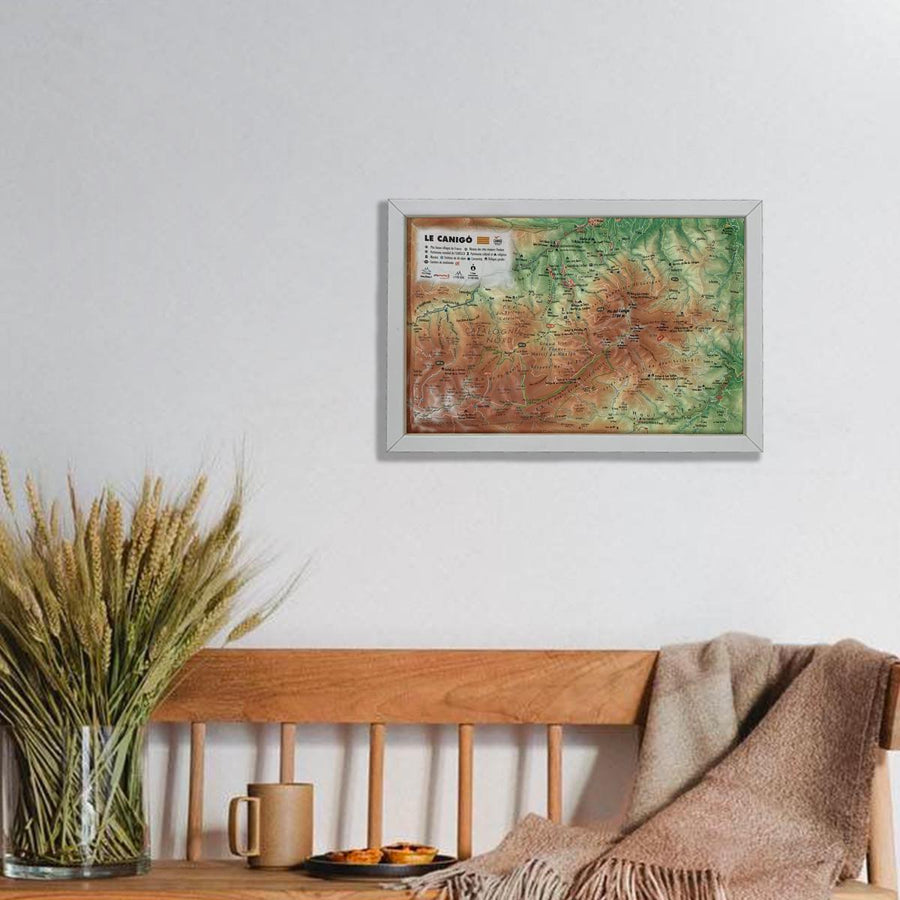
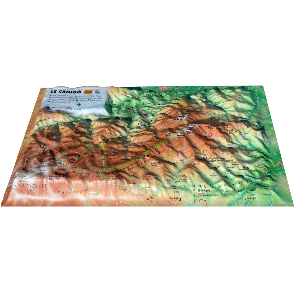
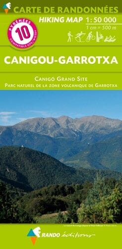
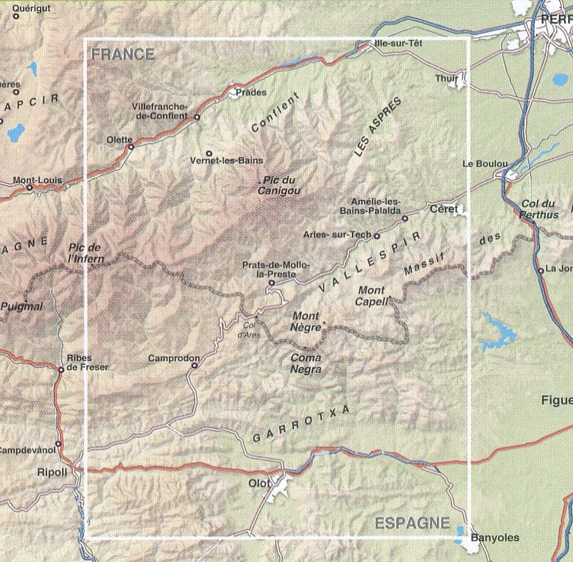
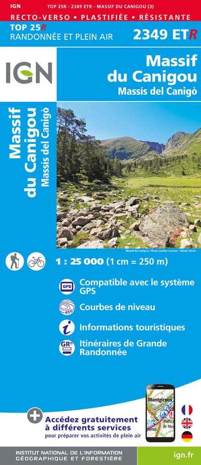
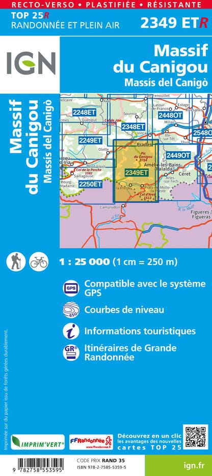
Relief wall map covering the Canigou massif produced by 3D Map.
A finishing frame is also available as an option: We strongly recommend it to facilitate hanging and enhance your map.
Information included on the map:
- Hydrological, natural and hypsometric data, administrative data
- Summits, cultural and religious heritage, parks and gardens
- Canyoning
- Restoration stations alpine skiing
- Great Hiking Trails, GRP
- Canigó Tower
- Canigó climbing routes
- Guarded shelters
- Planimetric scale 1: 130,000, altimeter scale: 1/100,000.
- Dimensions: 29.5 x 19.5 cm.
ISBN/EAN : 9791097206321
Publication date: 2021
Scale: 1/130,000 (1cm=1.3km)
Unfolded dimensions: 29.5cm x 19.5cm
Language(s): French
Weight:
32 g


