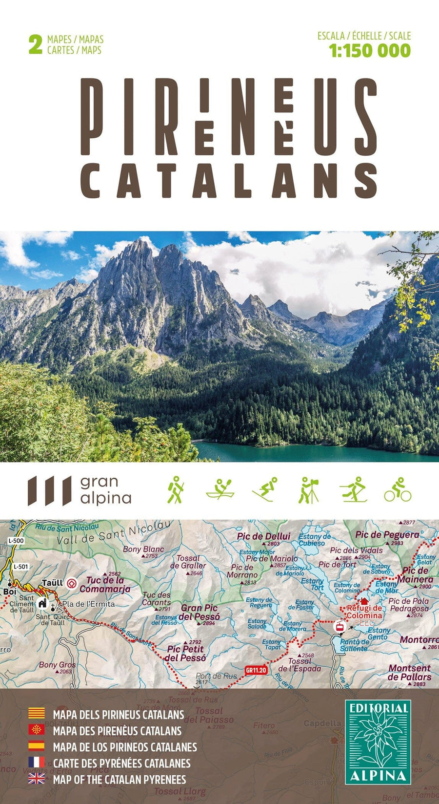
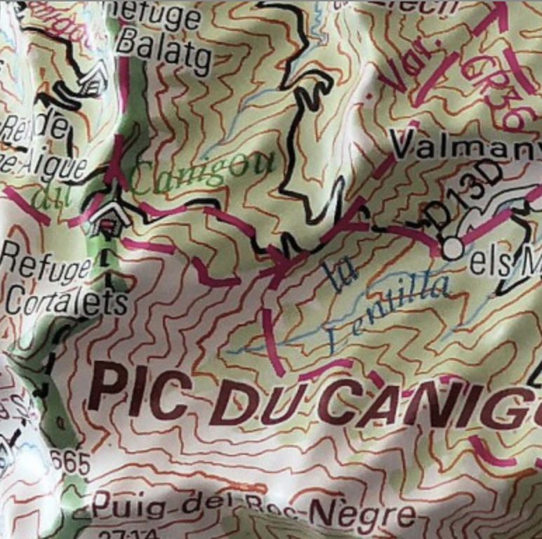
Set of 2 detailed topographic maps of the Valls Aneu (Catalan Pyrenees) at 1/25 000.
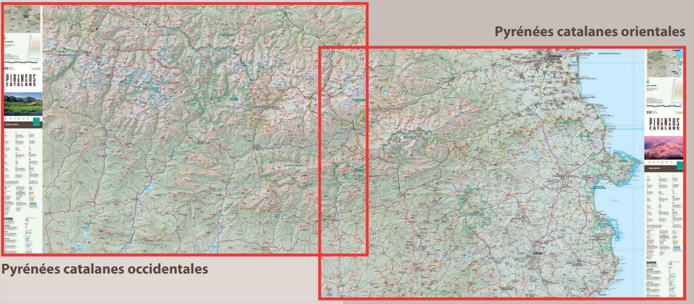
Map sector: Western Catalan Pyrenees. Natural Park of Alt Pirineu. Pallars Region Sobirà.
Features:
2 Topographic maps at 1:25 000 scale, with information of interest: marked trails (GR, PR), trails, shelters, waterfalls, etc.
The maps are accompanied by a folder including the following information:
• Refuges kept
• Geographic information
ISBN/EAN : 9788470111792
Publication date: 2025
Scale: 1/25,000 (1cm=250m)
Printed sides: front
Folded dimensions: 11.5 x 22.5cm
Unfolded dimensions: 68x82cm
Language(s): English, Castilian, Catalan
Weight:
179 g


