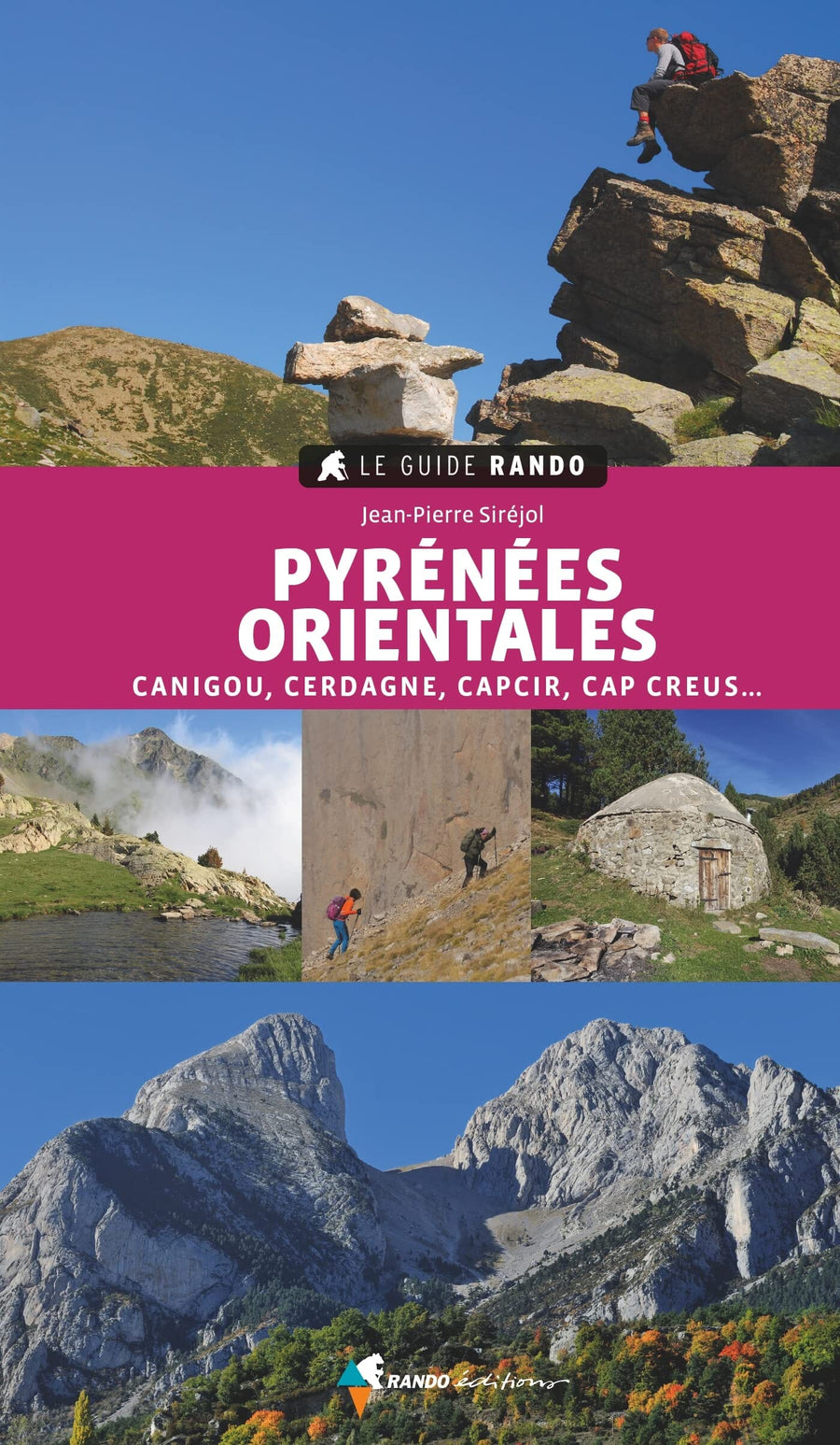
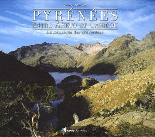
Hiking guide - Catalan Pyrenees, the most beautiful hikes | Rando Editions

Price
Regular price $20.00
Regular price Sale price $20.00
Save $-20
/
  • Shipping within 24 working hours from our warehouse in France
  • Delivery costs calculated instantly in the basket
  • Free returns (*)
  • Real-time inventory
  • Low stock - 1 item left
  • Backordered, shipping soon
Tax included.

Often purchased together:

35 hikes to discover the richness of Catalonia!
Straddling two countries, France and Spain, Catalonia is a popular tourist destination. But beyond the beaches and Barcelona, ​​the Pyrenees part of this region stretches from the jagged capes of the Mediterranean to peaks approaching 3,000 meters. Thus, Catalonia offers walkers contrasts of exceptional climates, terrains and biotopes.
In addition to being astonishingly rich in landscapes, Catalonia is also an exceptional culture, language, history and art of living. Here, walking is an essential activity that the locals call excursionism.
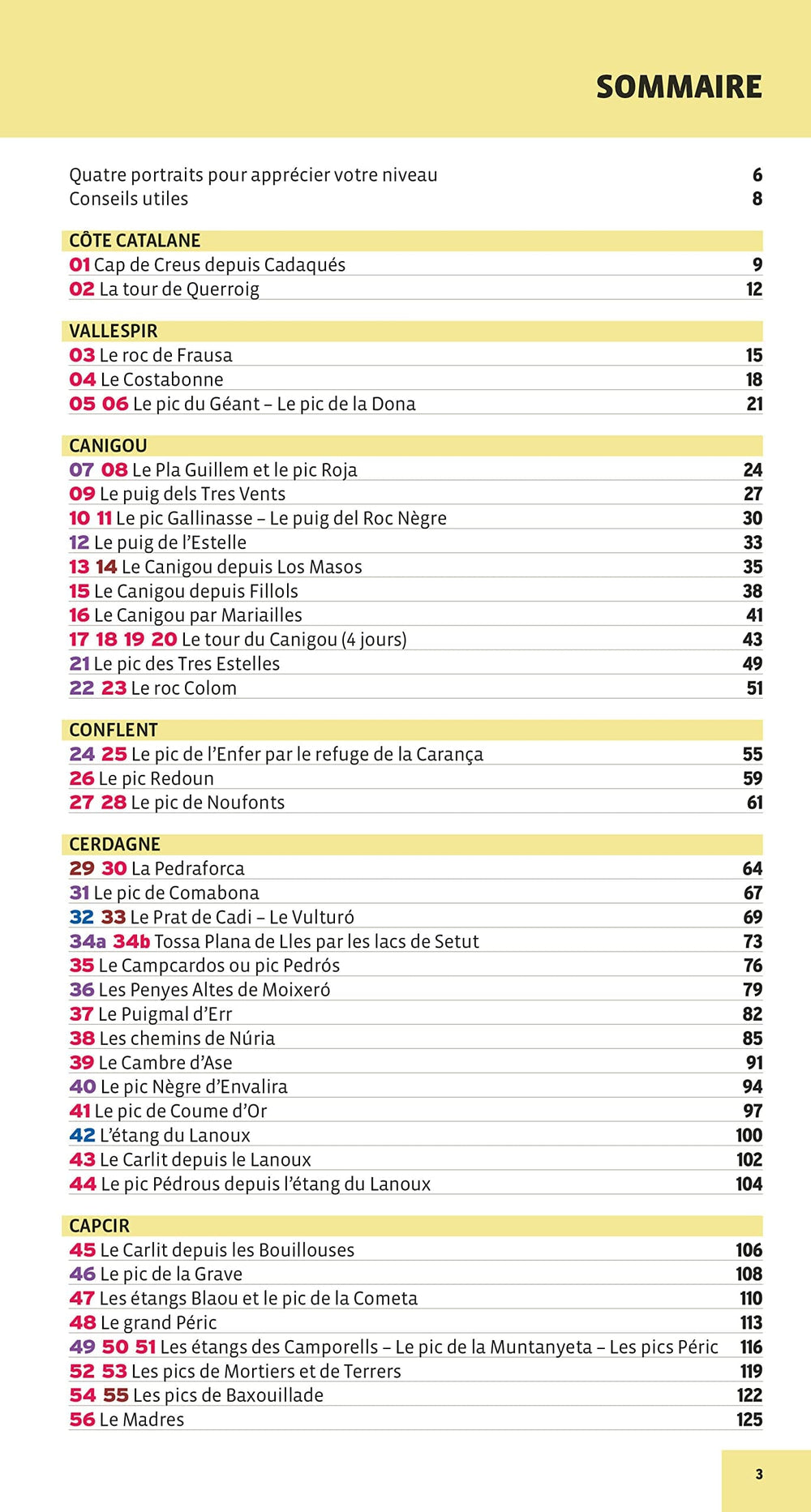
35 hikes of all levels are described in this book to explore this wild and preserved region by walking on the marked paths of ten comarques of Catalunya and four cantons of the Pyrénées-Orientales.
Ranging from simple walks to more demanding hikes, each of the 35 proposals (for the day or with a night in a refuge) is composed of a technical sheet, a presentation of the hike and a precise description of the route accompanied by a map. In addition, a section giving cultural, geographical or historical information is offered. Enough to satisfy your desire for discovery!


ISBN/EAN : 9782344061930
Publication date: 2024
Pagination: 144 pages
Folded dimensions: 23x14cm
Language(s): French
Weight: 330 g

Customer Reviews

Be the first to write a review
0%
(0)
0%
(0)
0%
(0)
0%
(0)
0%
(0)
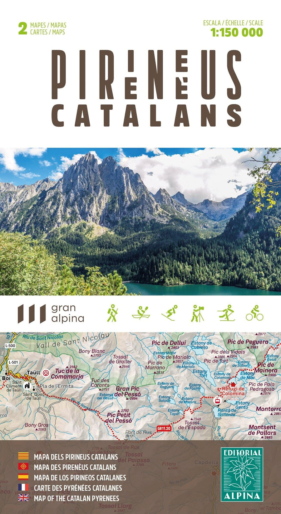
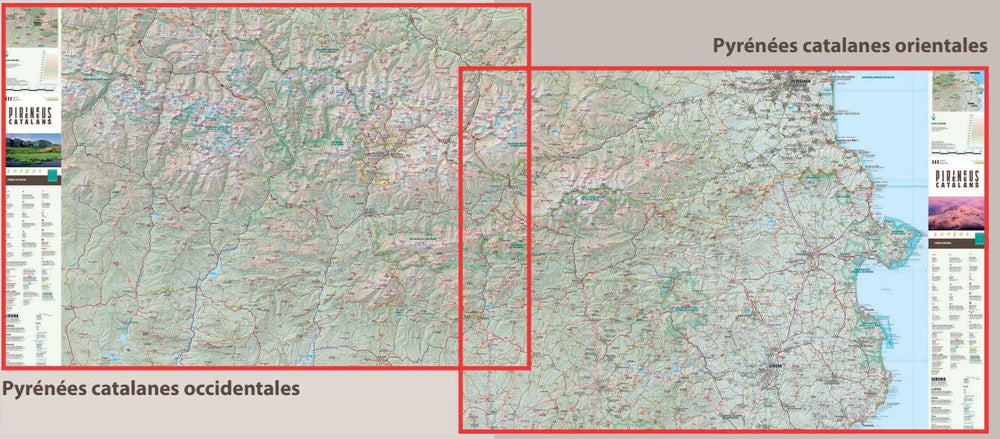
Carte générale - Pyrénées Catalanes | Alpina carte pliée Editorial Alpina
Hiking Map - European Summits National Park (Cantabria) | Alpina
Editorial Alpina
$17.00
Le Guide Rando - Pyrénées Orientales : Canigou, Cerdagne, Capcir, Vallespir, Conflent, Cap Creus | Rando Editions guide de randonnée Rando Editions
The Rando - Pyrenees Guide is | Rando Editions (French)
Rando Editions
$21.00
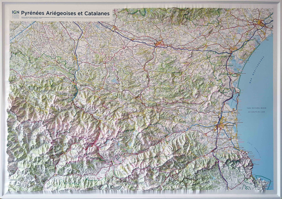
Carte en relief - Pyrénées ariégeoises et catalanes | IGN carte relief grande dimension IGN
Relief Wall map - Pyrénées ariégeoises and Catalan - 113 x 80 cm | IGN (French)
IGN
$130.00
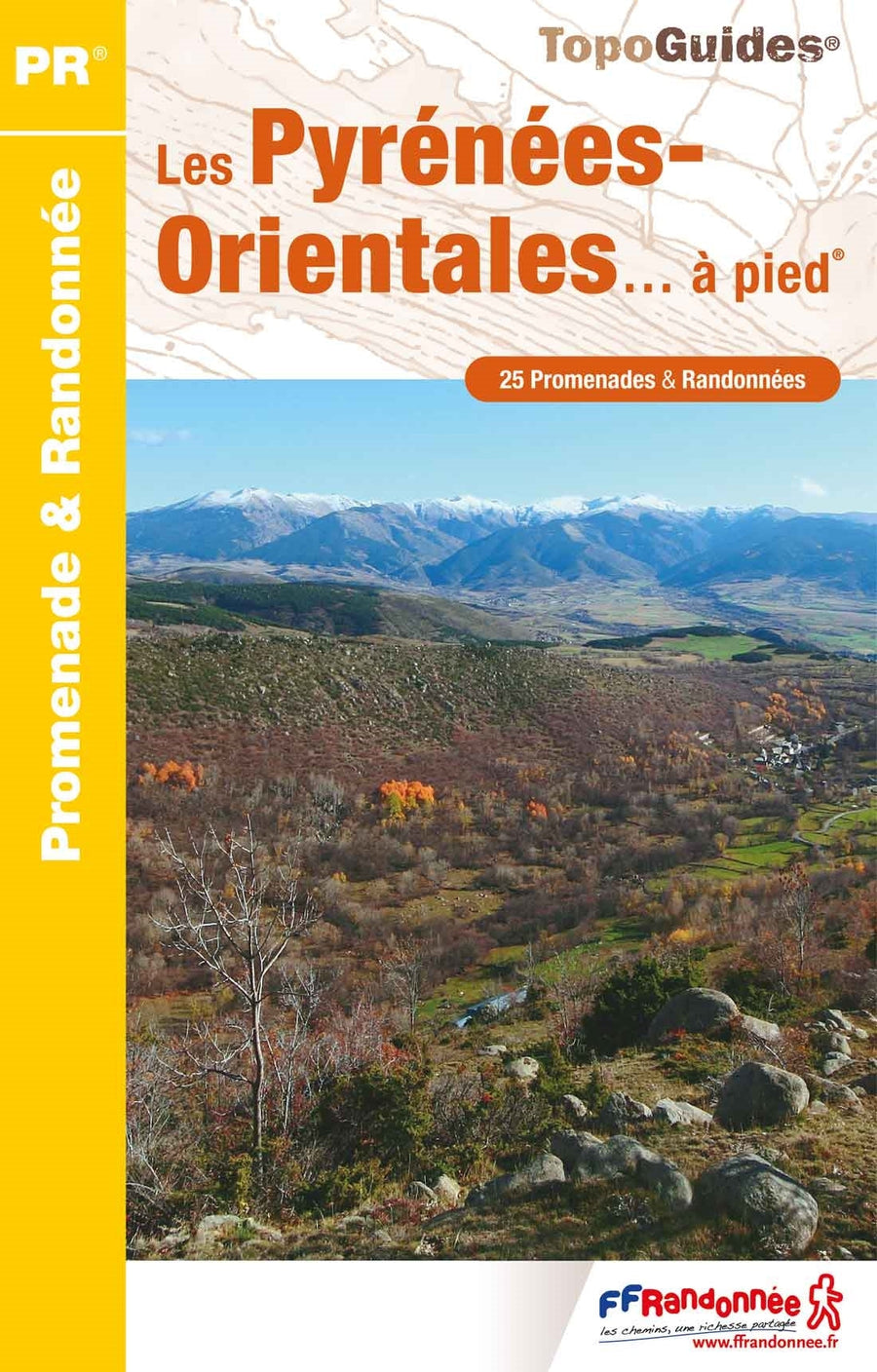
Topoguide de randonnée - Les Pyrénées-Orientales à pied | FFR guide de randonnée FFR - Fédération Française de Randonnée
Hiking guide - Pyrénées - Orientales walking | FFR (French)
FFR - Fédération Française de Randonnée
$17.00
Guide - Pyrénées, entre Aneto et Canigou | Rando Editions guide de randonnée Rando Editions
Guide - Pyrenees, between Aneto and Canigou | Rando Editions (French)
Rando Editions
$40.00