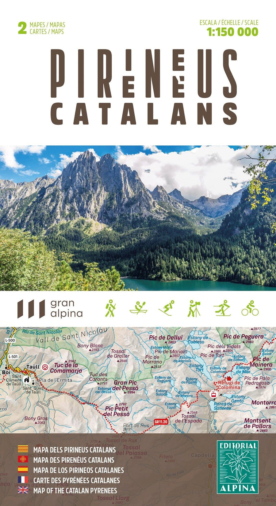
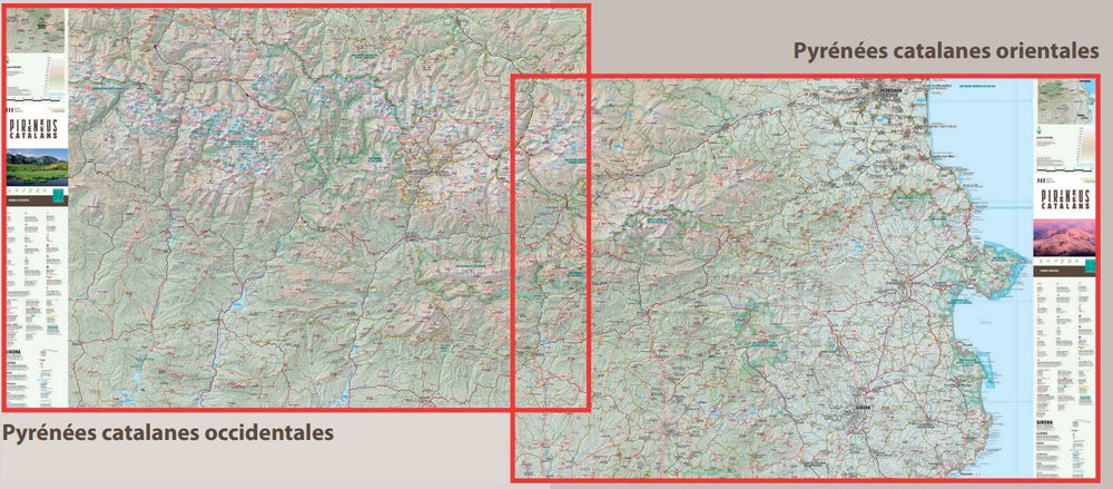
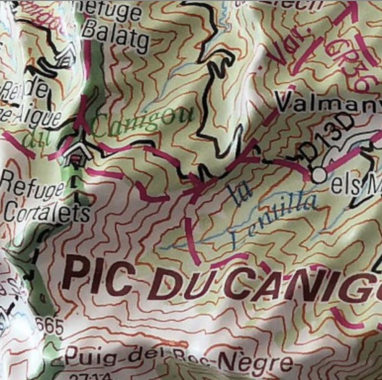
Topographic map of Puigmal, Vall de Nuria and Ulldeter published by Alpina with information of interest: marked trails (GR, PR), trails, climbs, via ferratas, refuges, shelters, etc.
Map sector : Catalan Pyrenees. Ribes valley and upper Ter valley (Ripollès).
The folding flap includes:
• Guarded shelters
• Routes
• Information on the Capçaleres del Ter and Freser Natural Park
• Must-see sites
ISBN/EAN : 9788470111570
Publication date: 2025
Scale: 1/25,000 (1cm=250m)
Printed sides: front
Folded dimensions: 21 x 12.5cm
Unfolded dimensions: 98 x 68cm
Language(s): French, English, Catalan, Castilian
Weight:
170 g


