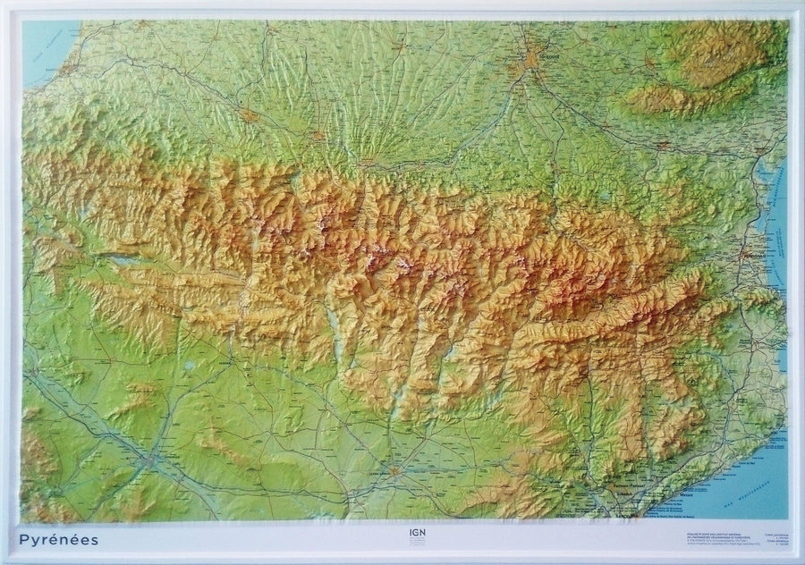
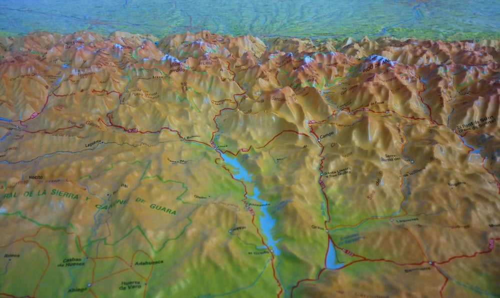
This map covers on the front of the Pyrenees as a whole 1/500 000 (1 cm = 5 km) and, on the back, Andorra to a well detailed scale at 1/40 000 (1 cm = 400m).
The map of the Pyrenees is quite wide, extending from the Atlantic to the Mediterranean and Toulouse to Barcelona (the Basque Country, Catalonia, Huesca, Beziers and Carcassonne are covered). The map of Andorra covers the region as a whole and includes a map of the city of Andorra La Vella.
ISBN/EAN : 9781771290364
Publication date: 2024
Scale: 1 / 500 000 (1 cm = 500 m) & 1 / 40 000 (1 cm = 400 m)
Printed sides: both sides
Folded dimensions: 24.6 x 10.3 x 0.5cm
Unfolded dimensions: 100 x 68cm
Language(s): English
Weight:
74 g


