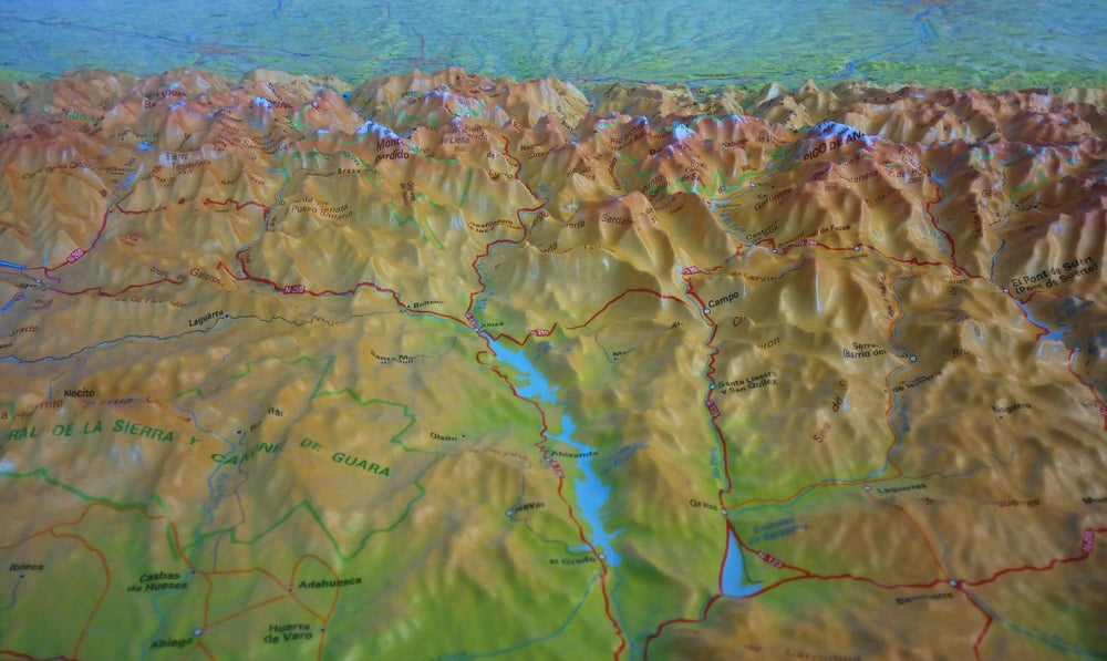
Area covered: Pyrenees National Park. Pyrénées-Atlantiques and Hautes-Pyrénées. Midi sector of Ossau, Balaitous and Vignemale.
Characteristics of the maps: 2 topographical maps 1:30,000 with information of interest for hikers: refuges, marked trails (GR, PR, local trails), trails at the summits, access to the starting point of the hikes, etc.
The foldable flap includes:
• 20 Hikes
• Geographic information
• Unmissable sites
ISBN/EAN : 9788470110948
Publication date: 2024
Scale: 1/30,000 (1cm=300m)
Printed sides: front
Folded dimensions: 21 x 11.5cm
Unfolded dimensions: 100x70cm
Language(s): French, English, Castilian
Weight:
170 g


