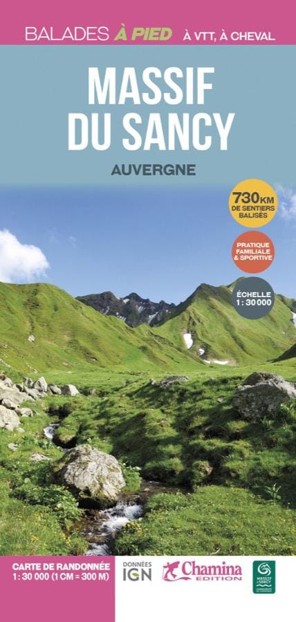
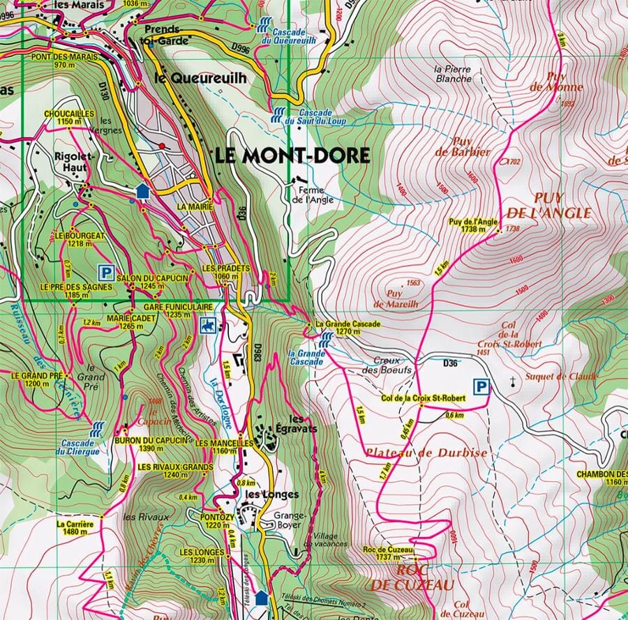
Carte de randonnées - Massif du Sancy à pied, VTT, à cheval | Chamina carte pliée Chamina

Hiking Map - SANCY MASSIF on foot, ATV, horseback | Chamina (French)

Hiking Map - SANCY MASSIF on foot, ATV, horseback | Chamina (French)

Regular price $11.00
/
  • Shipping within 24 working hours from our warehouse in France
  • Delivery costs calculated instantly in the basket
  • Free returns (*)
  • Real-time inventory
  • Low stock - 1 item left
  • Backordered, shipping soon
Tax included.
730 km of marked and signed trails in the Sancy Massif.
This map makes it possible to compose its itinerary, on foot, at a mountain bike, and sometimes on horseback.
- Scale: 1/30 000 (1 CM = 300 m).
- background IGN in color.
- More than 730 km of marked routes, walking, mountain bike or horseback.
- Tourist information.
- Localization of crossroads signed with intermediate mileage.


ISBN/EAN : 9782844666406
Publication date: 2023
Scale: 1/30,000 (1cm=300m)
Folded dimensions: 21x14cm
Language(s): French
Poids : 84 g

Customer Reviews

Based on 1 review
100%
(1)
0%
(0)
0%
(0)
0%
(0)
0%
(0)
p
patrick p. (Clermont-Ferrand, FR)
carte très bien faite

je suis très satisfait du produit