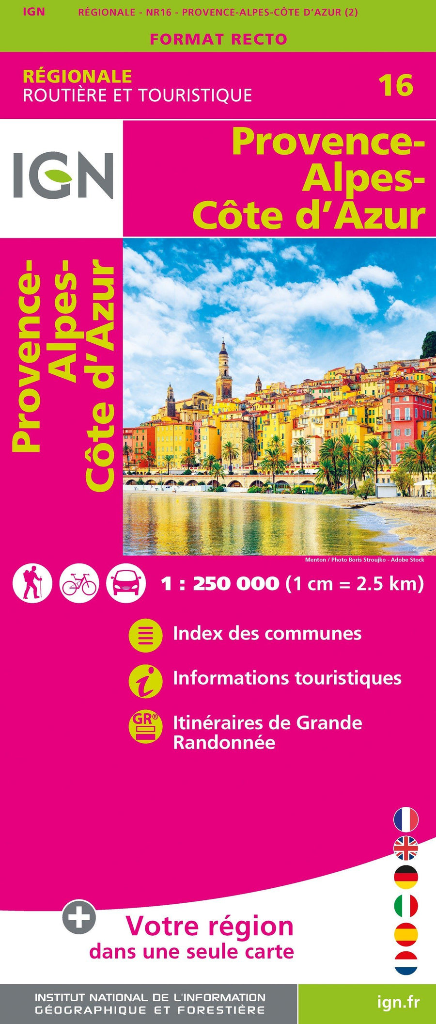
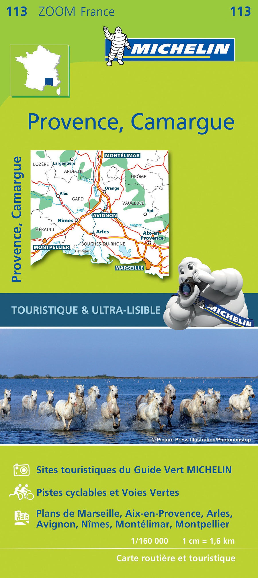
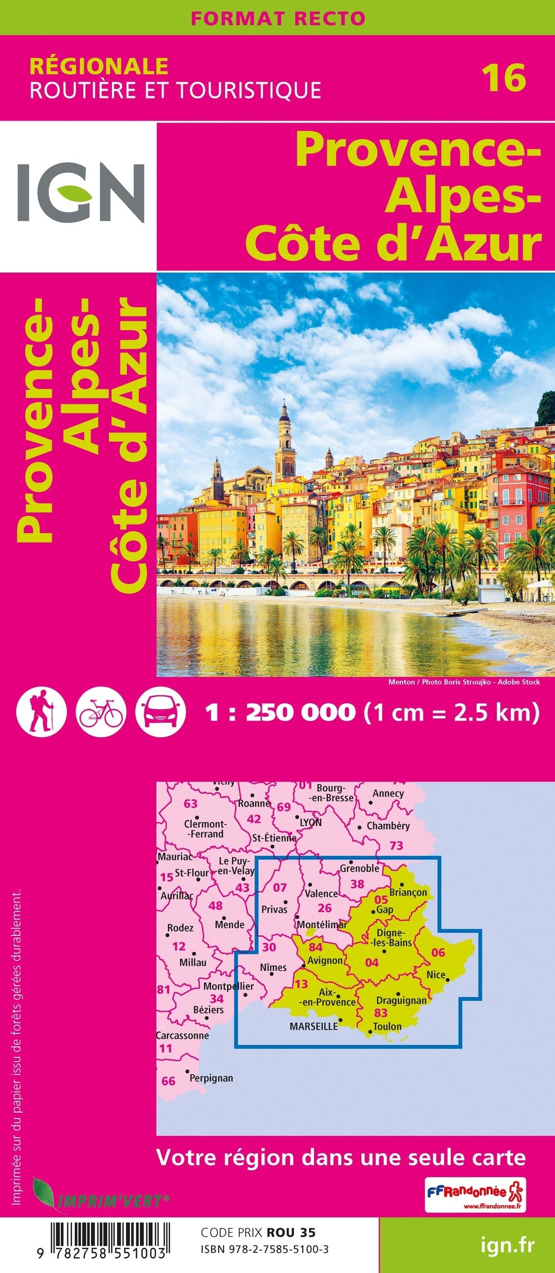
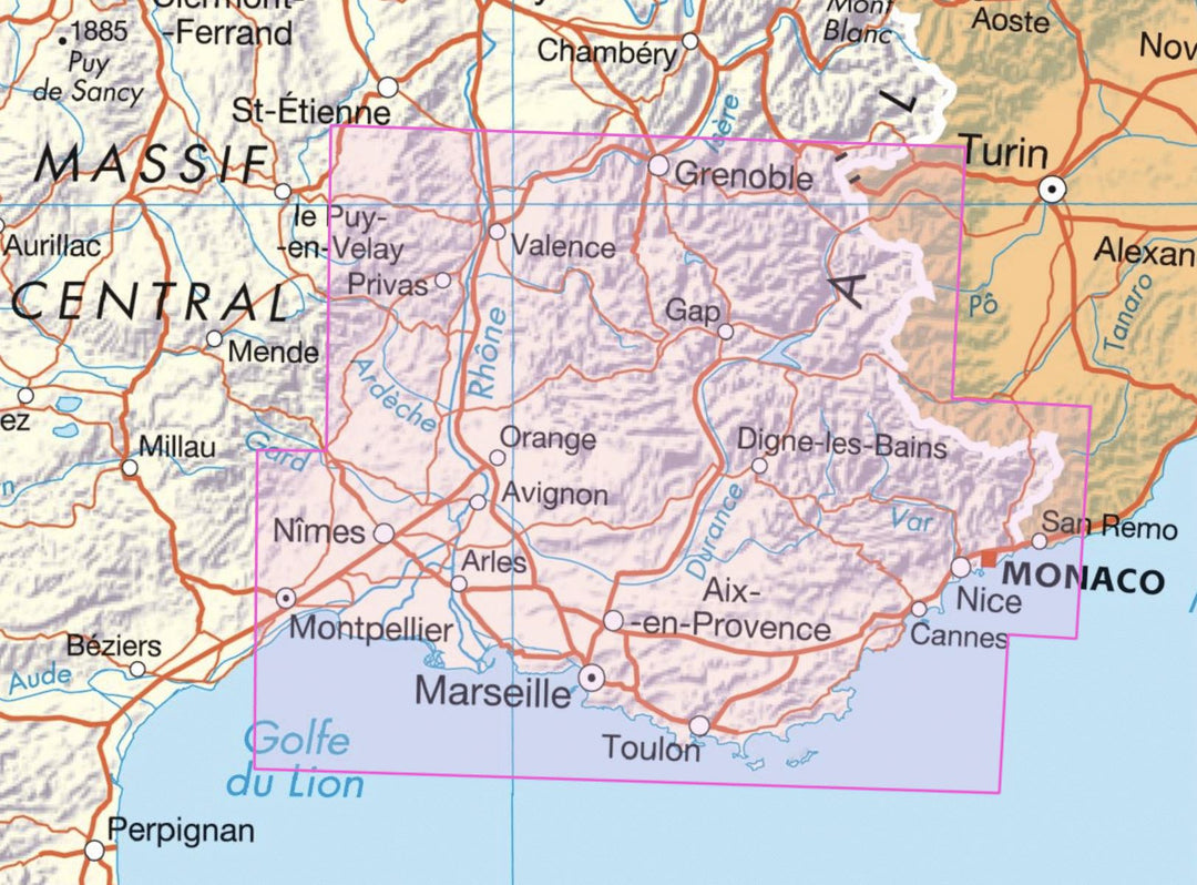
Carte régionale n° 16 : Provence-Alpes-Côte d'Azur | IGN carte pliée IGN
Carte régionale n° 16 : Provence - Alpes - Côte d'Azur | IGN - La Compagnie des Cartes

Regional Map # 16: Provence-Alpes-coast Azur | IGN

Regional Map # 16: Provence-Alpes-coast Azur | IGN

Regular price $8.00
/
  • Shipping within 24 working hours from our warehouse in France
  • Delivery costs calculated instantly in the basket
  • Free returns (*)
  • Real-time inventory
  • Low stock - 2 items left
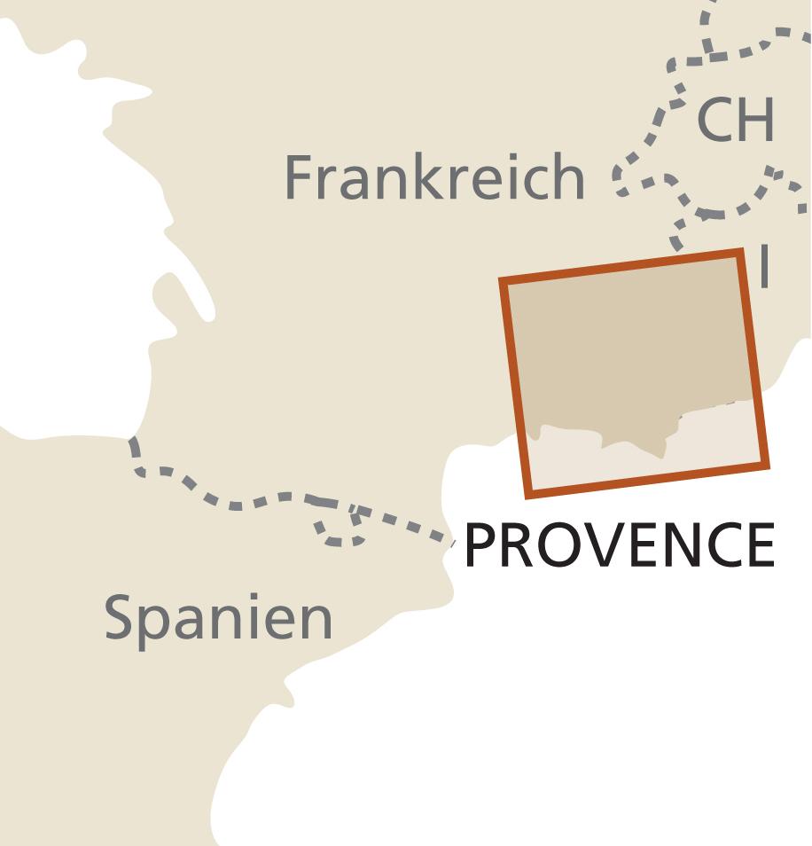
  • Backordered, shipping soon
Tax included.

IGN Road Map of the Provence-Alpes-coast Azur region. Distances shown on the map. Tourist information and cities index included. Representation of relief, indication of hiking trails (GR).

Scale 1/250 000 (1 cm = 2.5 km).

The map is printed on the front only.

This map is part of the new IGN regional maps collection including the official cutting of the 13 new regions.


ISBN/EAN : 9782758551003
Publication date: 2020
Scale: 1/250,000 (1cm=2.5km)
Printed sides: front
Folded dimensions: 11 x 25cm
Language(s): French, English, German
Poids : 90 g

Customer Reviews

Based on 1 review
100%
(1)
0%
(0)
0%
(0)
0%
(0)
0%
(0)
H
Henri D. (Sisteron, FR)

carte parfaite pour connaitre et reconnaitre la région