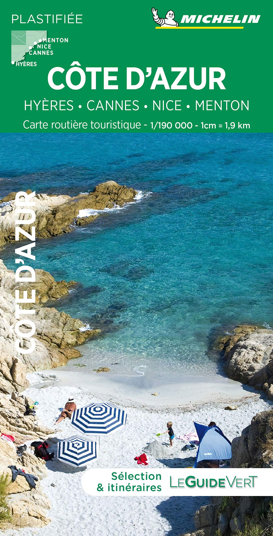
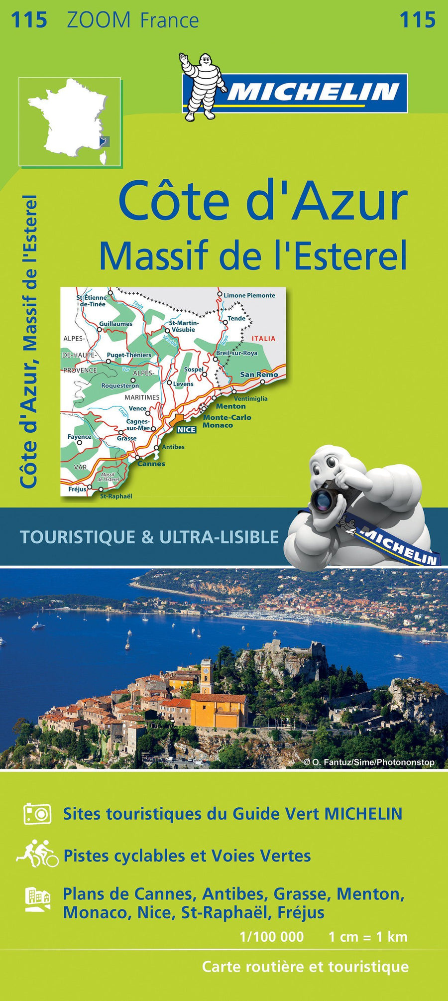
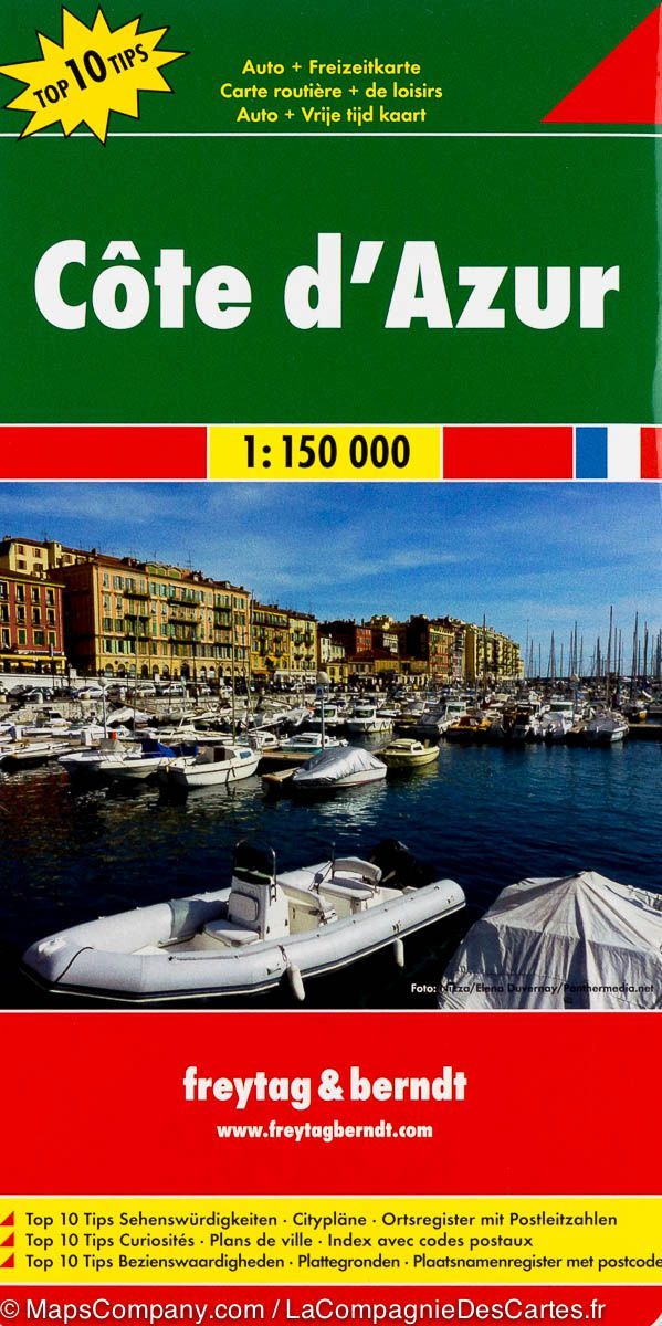
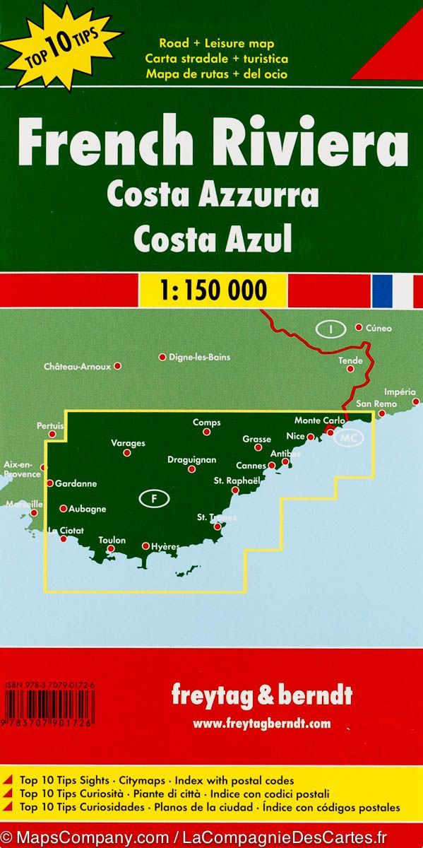
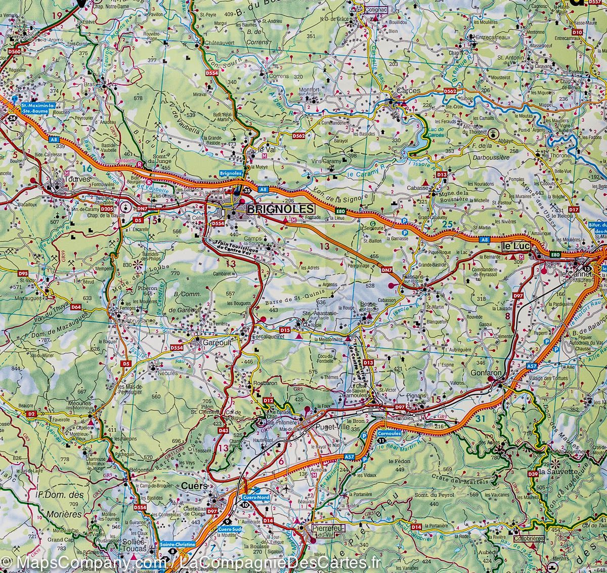
Road map - coast Azur | Freytag & Berndt

Price
Regular price $15.00
Regular price Sale price $15.00
Save $-15
/
  • Shipping within 24 working hours from our warehouse in France
  • Delivery costs calculated instantly in the basket
  • Free returns (*)
  • Real-time inventory
  • In stock, ready to ship
  • Backordered, shipping soon
Tax included.

Often purchased together:

coast Azur map published by Freytag & Amp Berndt. This detailed map covers the southern part of France on a scale 1: 150,000 (1 cm = 1.5 km). Mapping of relief and distances marked on the map.

A separate brochure attached to the cover of the map includes a cities index and describes the 10 main places of interest, all highlighted on the map. Also included, the plans of the center of Nice, Menton, Monte Carlo, Cannes, Saint - Tropez and Toulon.

Multilingual Legend (French, English, German, Italian, Spanish ...)


ISBN/EAN : 9783707901726
Publication date: 2018
Scale: 1/150,000 (1cm=15km)
Printed sides: front
Folded dimensions: 26x13cm
Unfolded dimensions: 142 x 98cm
Language(s): multilingual including French
Weight: 150 g

Customer Reviews

No reviews yet
0%
(0)
0%
(0)
0%
(0)
0%
(0)
0%
(0)
Carte régionale n° 16 : Provence-Alpes-Côte d'Azur | IGN carte pliée IGN
Regional map # 16: Provence - Alpes - coast Azur | IGN
IGN
$8.00
Carte de voyage - Monaco et la Riviera française (routes et chemins de fer) | ITM carte pliée ITM
Travel Map - Uganda | ITM
ITM
$15.00