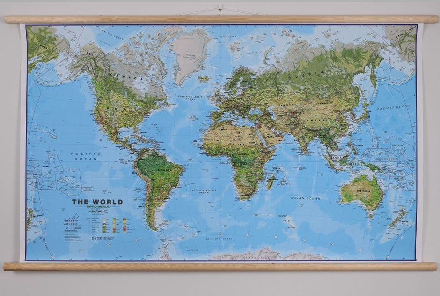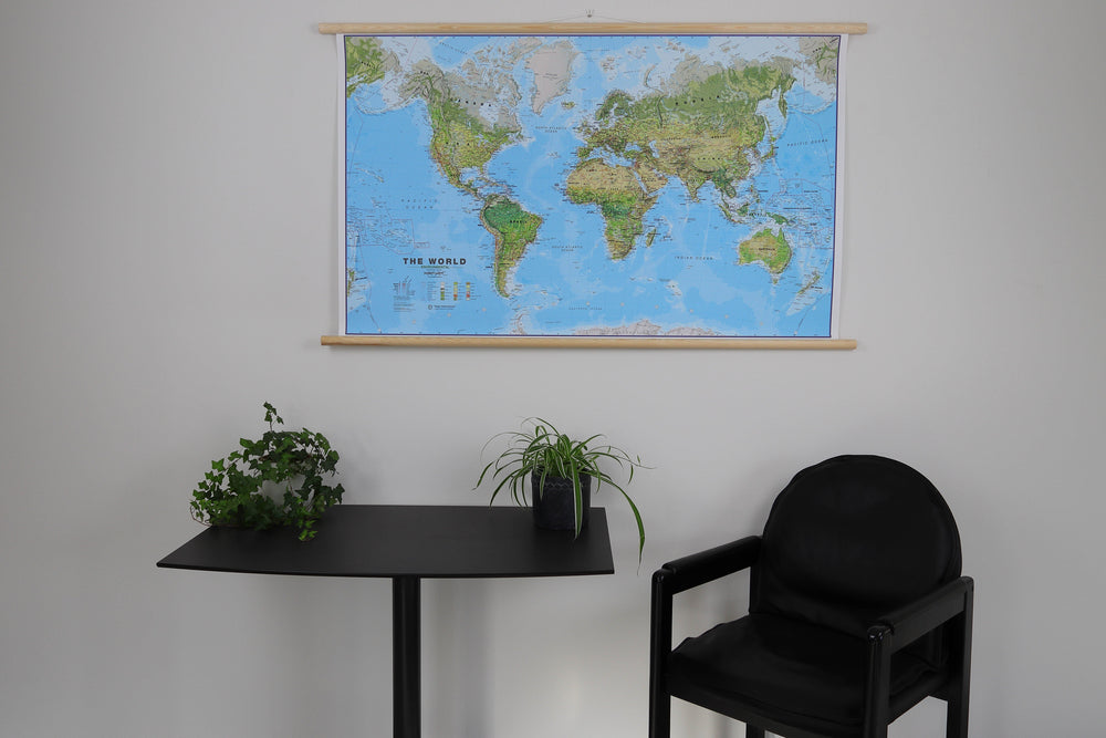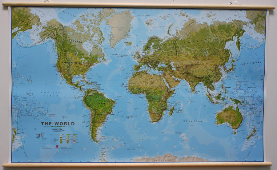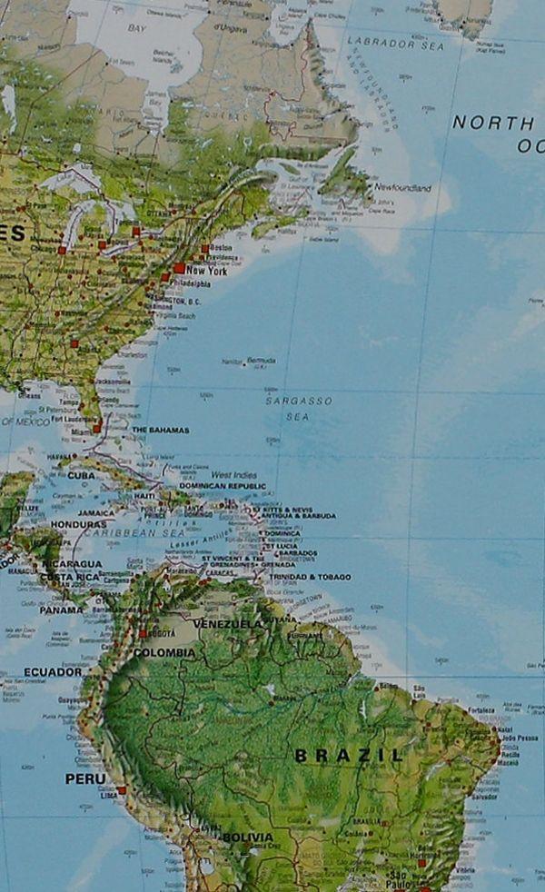
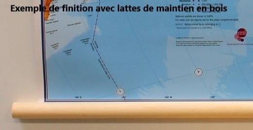


Laminated Wall Map with Wooden Slats - Environmental World (English) - 1/30M (136 x 86 cm) | Maps International
Regular price
$197.00
Regular price
Sale price
$197.00
Save $-197
/
- Custom-made product - Shipping to mainland France, Belgium, Germany, Luxembourg, and the Netherlands within 7 to 10 working days from our workshop. Other regions: contact us
- Delivery costs calculated instantly in the basket
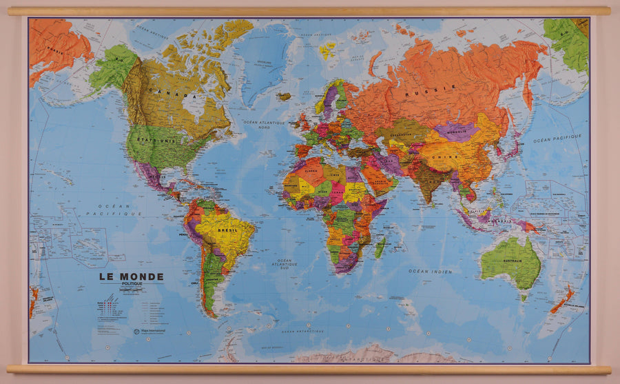
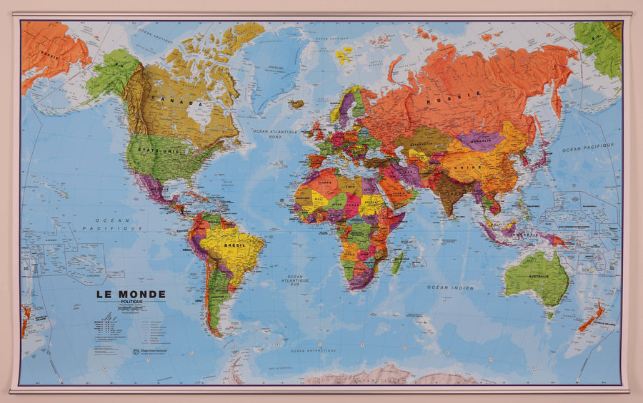
Related geographic locations and collections: Medium-sized planispheres (100 to 150 cm wide), Physical planispheres / / World Wall Maps, Planispheres - Maps International, Planispheres / World Wall Maps in English, The World, Wall maps with wooden or metal fixing system, World & Planispheres