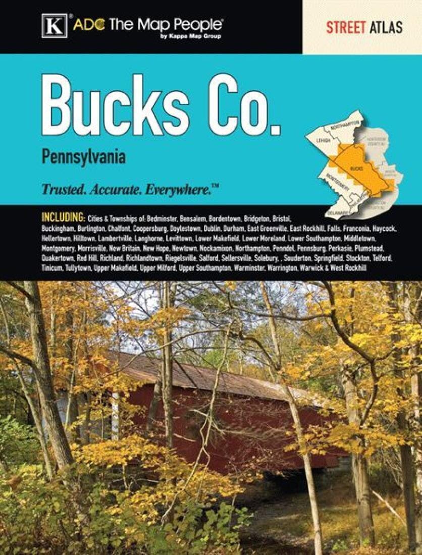
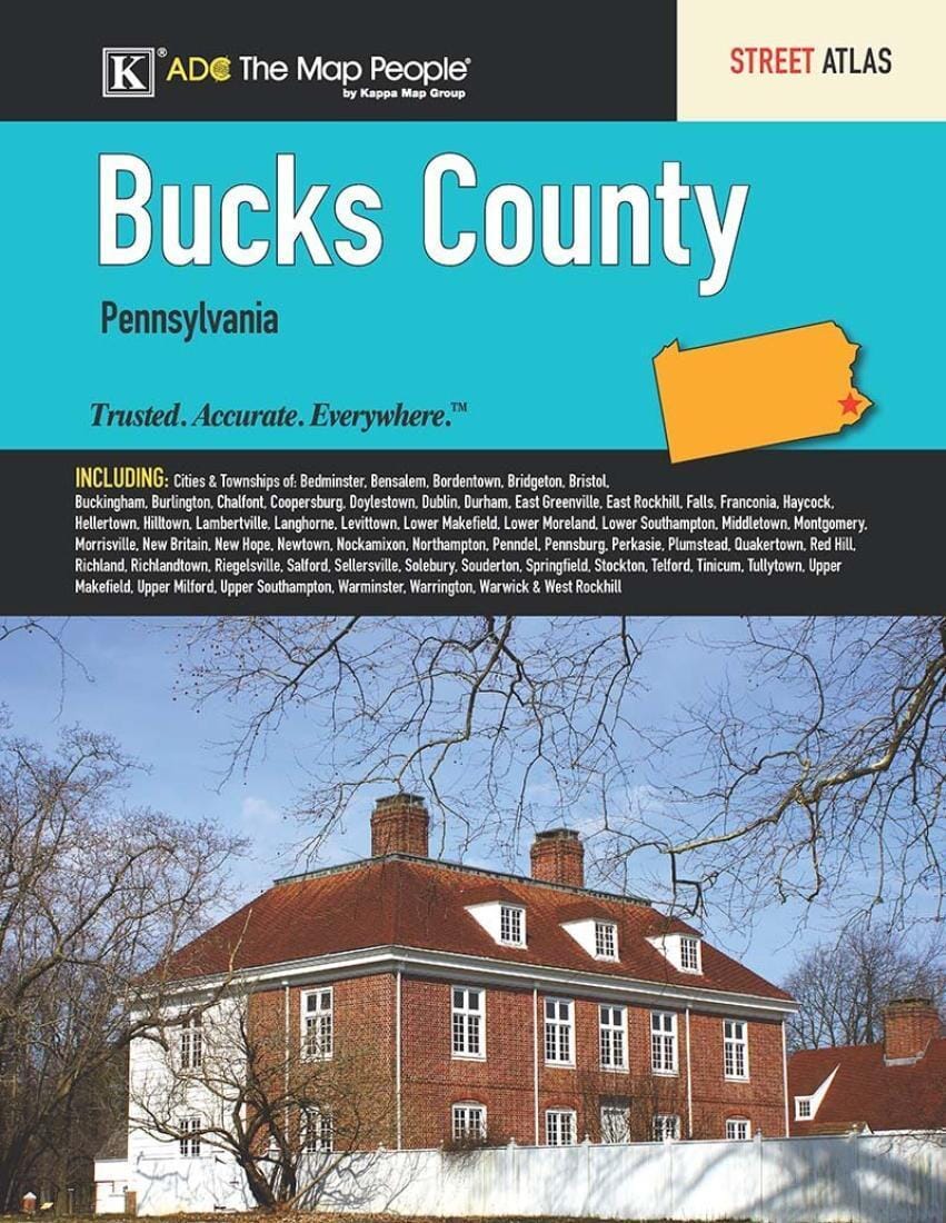
The Bucks County, Pennsylvania atlas is a full - color street atlas, including the cities & townships of: Bedminster, Bensalem, Bordentown, Bridgeton, Bristol, Buckingham, Burlington, Chalfont, Coopersburg, Doylestown, Dublin, Durham, East Greenville, East Rockhill, Falls, Franconia, Haycock, Hellertown, Hilltown, Lambertville, Langhorne, Levittown, Lower Makefield, Lower Moreland, Lower Southampton, Middletown, Montgomery, Morrisville, New Britain, New Hope, Newtown, Nockamixon, Northampton, Penndel, Pennsburg, Perkasie, Plumstead, Quakertown, Red Hill, Richland, Richlandtown, Riegelsville, Salford, Sellersville, Solebury, Souderton, Springfield, Stockton, Telford, Tinicum, Tullytown, Upper Makefield, Upper Milford, Upper Southampton, Warminster, Warrington, Warwick & West Rockhill.
This atlas includes a 31 - page index. Most maps are in scale 1:28,000, with a small section in scale 1:56,000.
ISBN/EAN : 9780762591800
Unfolded dimensions: 13.19 x 10.24 inch / 33.5 x 26cm
Language(s): English
Weight:
13.0 oz


![Appalachian Trail: Pennsylvania [Map Pack Bundle] | National Geographic carte pliée](http://mapscompany.com/cdn/shop/products/cartes-de-randonnee-appalachian-trail-pennsylvanie-pack-de-cartes-national-geographic-carte-pliee-national-geographic-169241.jpg?v=1694457287&width=900)
![Allegheny National Forest [Map Pack Bundle] | National Geographic carte pliée](http://mapscompany.com/cdn/shop/products/allegheny-national-forest-pack-de-cartes-national-geographic-carte-pliee-national-geographic-799940.jpg?v=1694452639&width=900)

