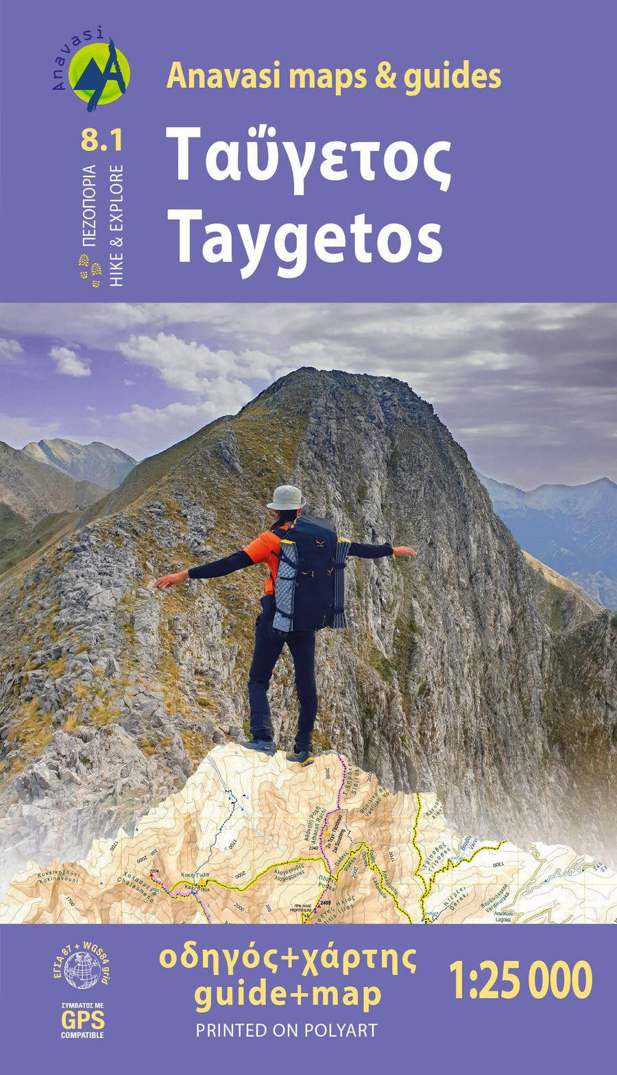
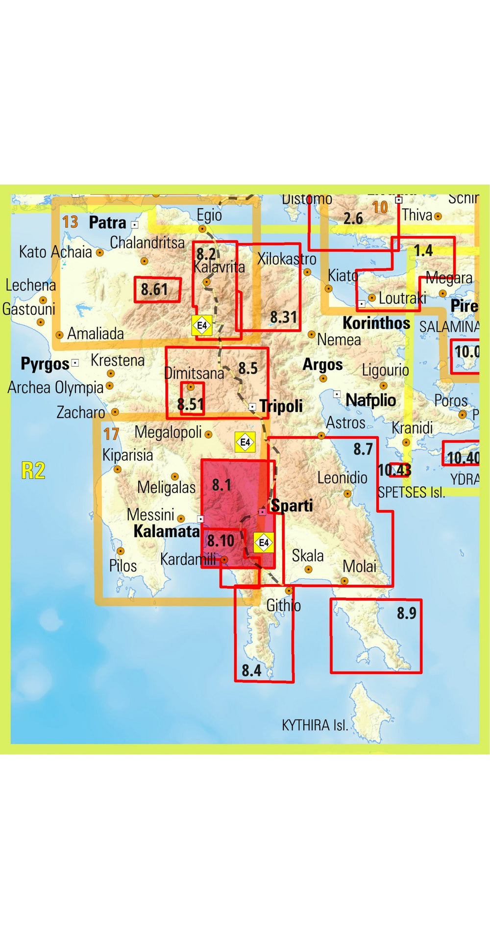
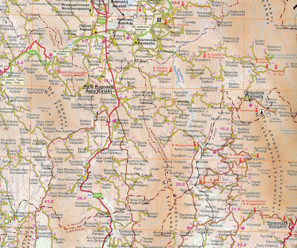
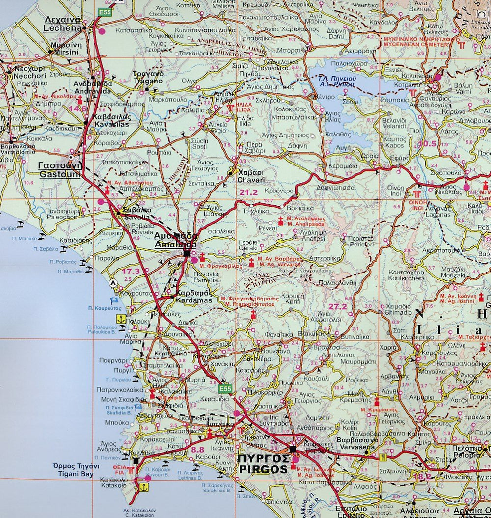
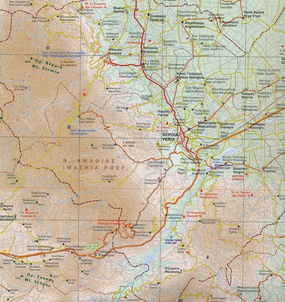
Mount Taygetos, GPS compatible, indicating the relief by shading, sources, seasonal streams and the nature of the landscape (forests, orchards or vineyards etc.). < BR> The place names are given in Greek and Latin writing. Trails, hostels and shelters are clearly indicated. For road users, driving distances and service stations are indicated. The symbols indicate places of interest, including archaeological sites, churches and monasteries, etc.
> each route has Its topographic map and altitude profile, as well as duration, distance, degree of difficulty, vegetation, curiosities and links to other trails. Photographs and a description of the itinerary enrich the painting.
- mce - fragment="1">
- fragment="1"> In the new Hiking guide with a map at 1:25 000 of the Tyget, 18 routes are described , divided into zones: Laconian, Messenien, center and north side of the Tyget, as well as the old itineraries crossing the mountain in antiquity.
data - mce - fragment="1"> Among the 18 courses, there are all levels of difficulty: green = easy | Blue = Intermediter | Red = demanding | Black = very difficult. The difficulty depends on the altitude, the length and the type of land
- mce - fragment="1"> Here are the routes described:
Data - Mce - fragment="1"> 1. Manganari - Refuge - Summit Profitis Ilias 2407m
> Refuge - Summit Profitis Ilias 2407M - Agios Dimitrios - Pentavli - Refuge
- fragment="1">
- fragment="1"> 3. Refuge - Pic Chalasmeno 2204m
Fragment="1"> 4. Pikoulianika - Pic Koufovouni 1850m
>
Anavryti - Refuge
- fragment="1">
> Parori - Faneromeni Monastery - Metamorfosi Sotiros - Parori
5"1
> Mystras - taygeti
- mce - fragment="1">
- fragment="1"> 8. Mystras - Castle North Gate - Mystras τaygetos (Messinian side)
- mce - fragment="1">
- fragment="1"> 9. Agios Dimitrios - Mousgia - Pic Chalasmeno 2204m
- fragment="1"> 10. Gorges de Vyros (Agios Dimitrios - Exchori)
> Ridomo Gorges (Pierre de Voreio Bridge in Pigadia)
Monastery of Velanidia - Lagou Hann
fragment="1">
> >
data - mce - fragment="1"> 3. PentaDaktylos
data - mce - fragment="1">
fragment="1"> Aygetos Nord (with the help of Eos Spartis and Nikos Laganas)
- fragment="1"> 14. Longastra - Trypi - Pikoulianika - MyStras
- mce - fragment="1">
- fragment="1"> 15. Marble Bridge - Bridge - Sources of Kastori - Vrysiotiko - Sources of Perivolia - Agios Loukas - Kastori Device - Sources of Agios Mamas
1 - Fragment="1">
16. Gorges de Myli (Georgitsi - Kastori)
- mce - mce="1">
Fragment="1"> 17. Georgitsi - Agios Pantelevon 18. Kastorio - Xerovouna (in 2 sections)
Latta - Louisina / 18β. Louise - Xerovouna
The legend of the map includes English.
ISBN/EAN : 9789609412865
Publication date: 2022
Scale: 1/25,000 (1cm=250m)
Folded dimensions: 12 x 23cm
Language(s): English, Greek
Weight:
60 g


