Large Detailed Plan of London, on the front, which shows the many museums, theaters, attractions and parks, as well as some of the hundreds of pubs that the city count.
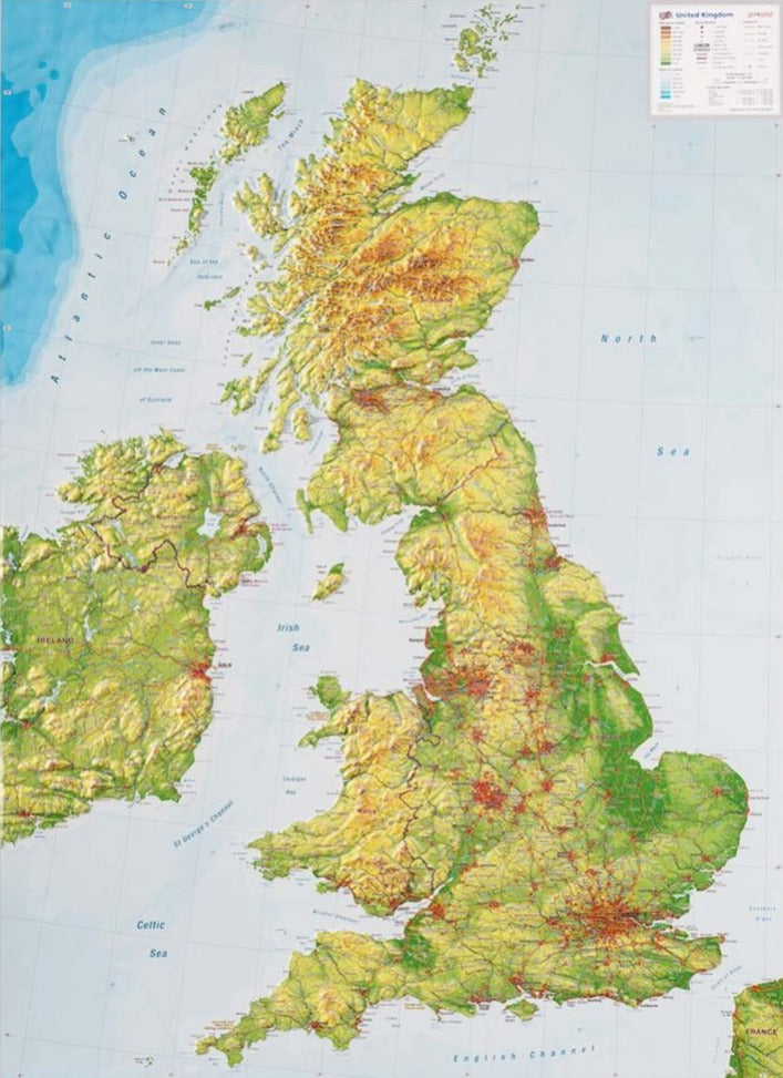
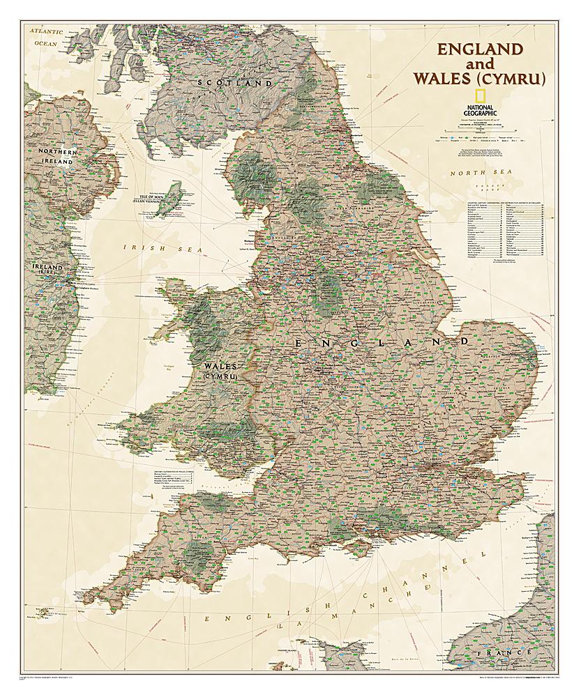
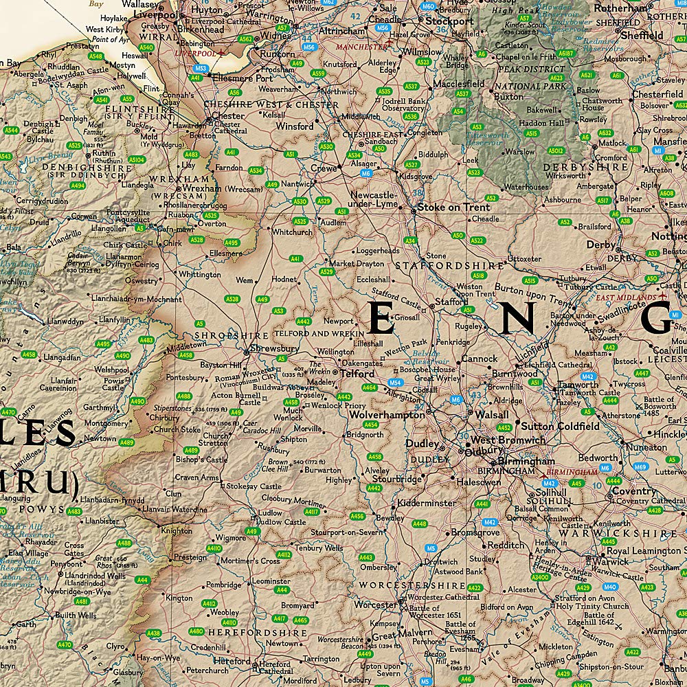
On the back, map of southern England including all cities easily accessible from London: Canterbury, Oxford, Norwich, Birmingham, Caste, and Lincoln. Indication of highways, main and secondary roads, as well as tourist attractions (castles ...). In an inset, map of the Anglo - Norman Islands.
This map is waterproof and resistant to the tear.
ISBN/EAN : 9781771294461
Publication date: 2024
Scale: 1 / 7 500 (1 cm = 75 m) & 1 / 250 000 (1 cm = 2,5 km)
Printed sides: both sides
Folded dimensions: 24.6 x 10.3 x 0.5cm
Unfolded dimensions: 100 x 68 cm
Language(s): English
Weight:
74 g


