Road map # 7 - Southwestern England & South from Wales | Ordnance Survey - Road

Price
Regular price $13.00
Regular price Sale price $13.00
Save $-13
/
  • Shipping within 24 working hours from our warehouse in France
  • Delivery costs calculated instantly in the basket
  • Free returns (*)
  • Real-time inventory
  • In stock, ready to ship
  • Backordered, shipping soon
Tax included.

Often purchased together:

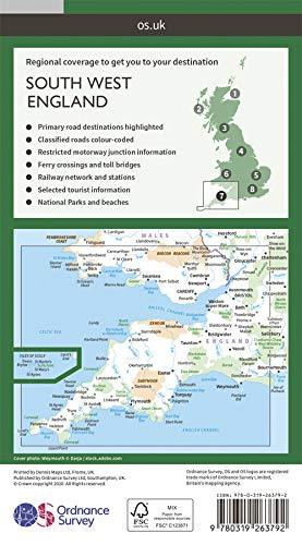
Detailed map of southwestern England and southern Wales published by Ordnance Survey. Highlighting National Parks and Forests, Relief etc. The map covers the Brecon Beacons National Park and the Pembrokeshire Coast National Park.

Scale 1: 250.000 (1 cm = 2.5 km).


ISBN/EAN : 9780319263792
Publication date: 2020
Scale: 1/250,000 (1cm=2.5km)
Printed sides: front
Folded dimensions: 13.5 x 24cm
Unfolded dimensions: 125 x 98cm
Language(s): English
Weight: 127 g

Customer Reviews

Based on 1 review
100%
(1)
0%
(0)
0%
(0)
0%
(0)
0%
(0)
N
Nicole R.
C'est une carte précise sur la régi ...

C'est une carte précise sur la région sud ouest de l'Angleterre. Pas pour randonner à pied mais pour flâner en voiture, oui.