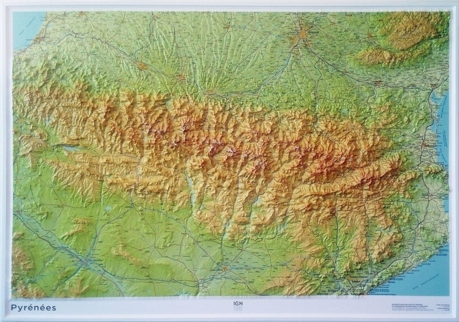
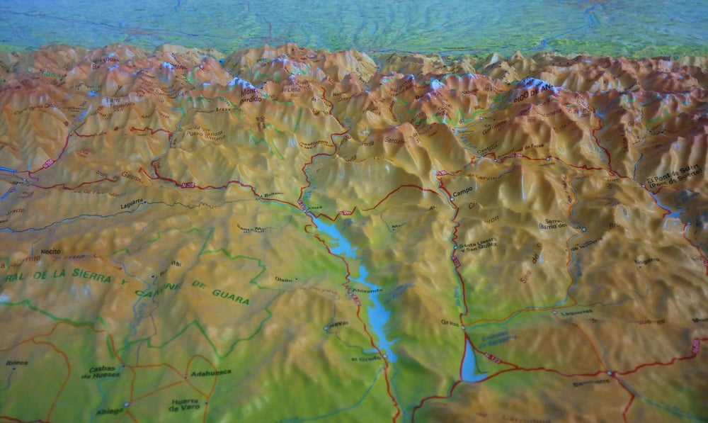
Hiking map # 9 - Cathar Trail (Eastern Pyrenees) | Rando Editions (French)

Price
Regular price $16.00
Regular price Sale price $16.00
Save $-16
/
  • Shipping within 24 working hours from our warehouse in France
  • Delivery costs calculated instantly in the basket
  • Free returns (*)
  • Real-time inventory
  • In stock, ready to ship
  • Backordered, shipping soon
Tax included.

Often purchased together:

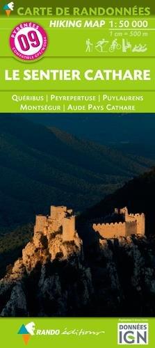
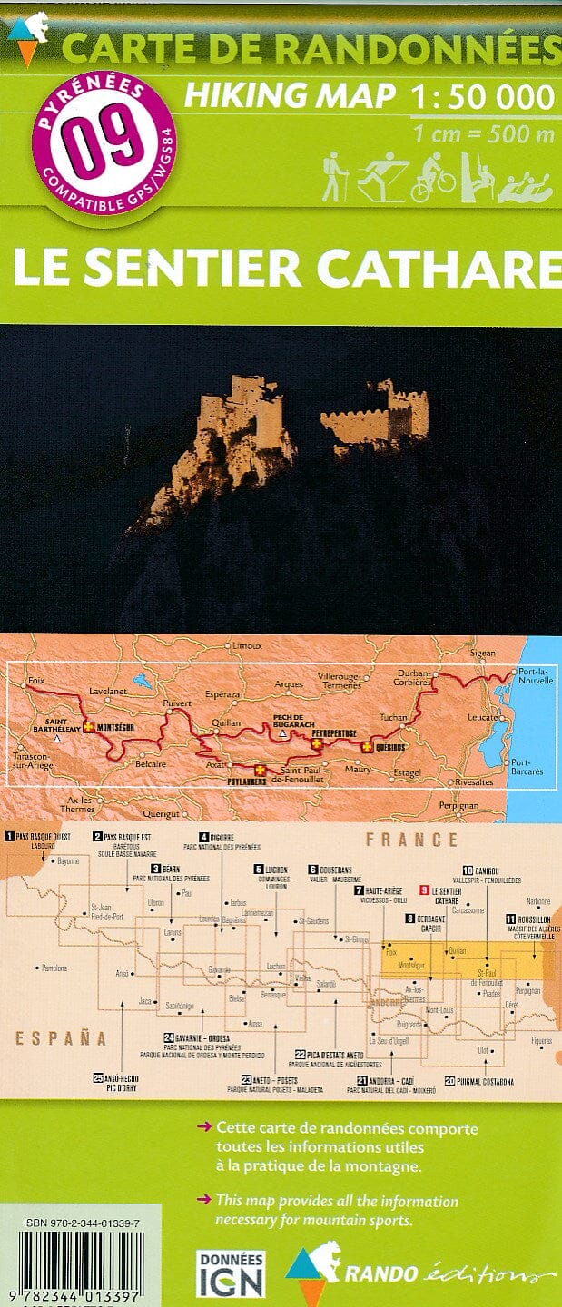
Detailed topographic map of the Cathar trail. Pyrenees Hiking map # 9, edited by Rando Editions, which covers the entire Cathar Castles, the Mediterranean Sea to Foix.

Indication of the Cathar trail (Quéribus, Peyrepertuse, Montségur, Puylaurens), campsites and other points of tourist interest.

Hiking map with level curves and useful information to mountain practice.

1/50 000 scale (1 cm = 500 m).


ISBN/EAN : 9782344013397
Publication date: 2016
Scale: 1/50,000 (1cm=500m)
Printed sides: front
Folded dimensions: 22.5 x 11 x 0.5cm
Unfolded dimensions: 133 x 100cm
Language(s): French English
Weight: 90 g

Customer Reviews

Based on 3 reviews
100%
(3)
0%
(0)
0%
(0)
0%
(0)
0%
(0)
I
Iwona (Inowrocław, PL)
very good

love the fact that I can see a broader picture, rather than just a snippet like on the GPS

m
max (Perpignan, FR)
lecture simple

découpage adapté au trajet

D
Denis R. (Saint-Vincent-de-Tyrosse, FR)
Détaillée

Très bien