Carte de randonnée n° 1 - Flandre occidentale et Pas de Calais | Alta Via carte pliée Alta Via

Hiking Map # 1 - West Flanders and Pas de Calais | Alta via

Hiking Map # 1 - West Flanders and Pas de Calais | Alta via

Regular price $17.00
/
  • Shipping within 24 working hours from our warehouse in France
  • Delivery costs calculated instantly in the basket
  • Free returns (*)
  • Real-time inventory
  • In stock, ready to ship
  • Backordered, shipping soon
Tax included.

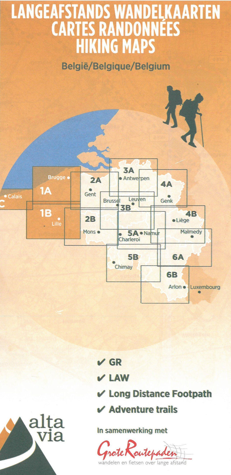
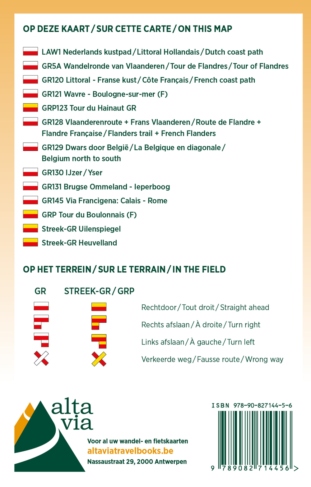
West Flanders' Hiking Map and Calais Pas Edit by Alta Via which focuses on GR, the GR of the region, Compostela Via, GTA and Eisleck Trail.

On the map, you will also find milestroys and stations, as well as hostels, hikers, campsites on stilts and campsites.

The scale is 1/85,000 (1 cm = 850 m).

See all maps of this series < / Strong>


ISBN/EAN : 9789082844344
Publication date: 2021
Scale: 1/85000 (1cm=850m)
Language(s): French, English, Flemish
Poids : 80 g

Customer Reviews

No reviews yet
0%
(0)
0%
(0)
0%
(0)
0%
(0)
0%
(0)