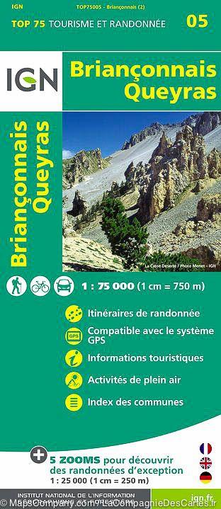
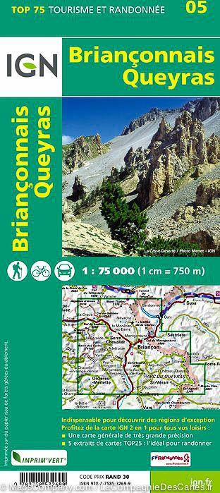
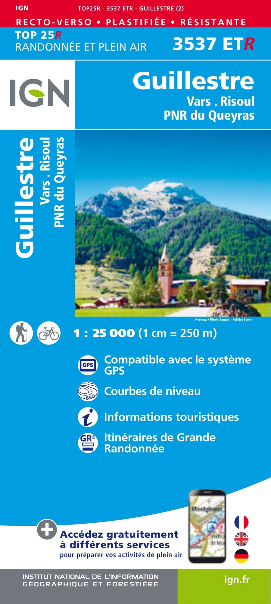
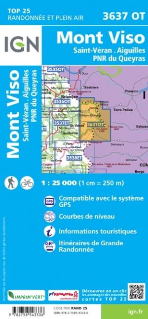
Topoguide de randonnée - Queyras et le Guillestrois à pied | FFR guide petit format FFR - Fédération Française de Randonnée

Hiking Topoguide - Queyras and Guillestrois on foot | FFR (French)

Hiking Topoguide - Queyras and Guillestrois on foot | FFR (French)

Regular price $19.00
/
  • Shipping within 2-3 working days from our warehouse in France
  • Delivery costs calculated instantly in the basket
  • Free returns (*)
  • Real-time inventory
  • In stock, ready to ship
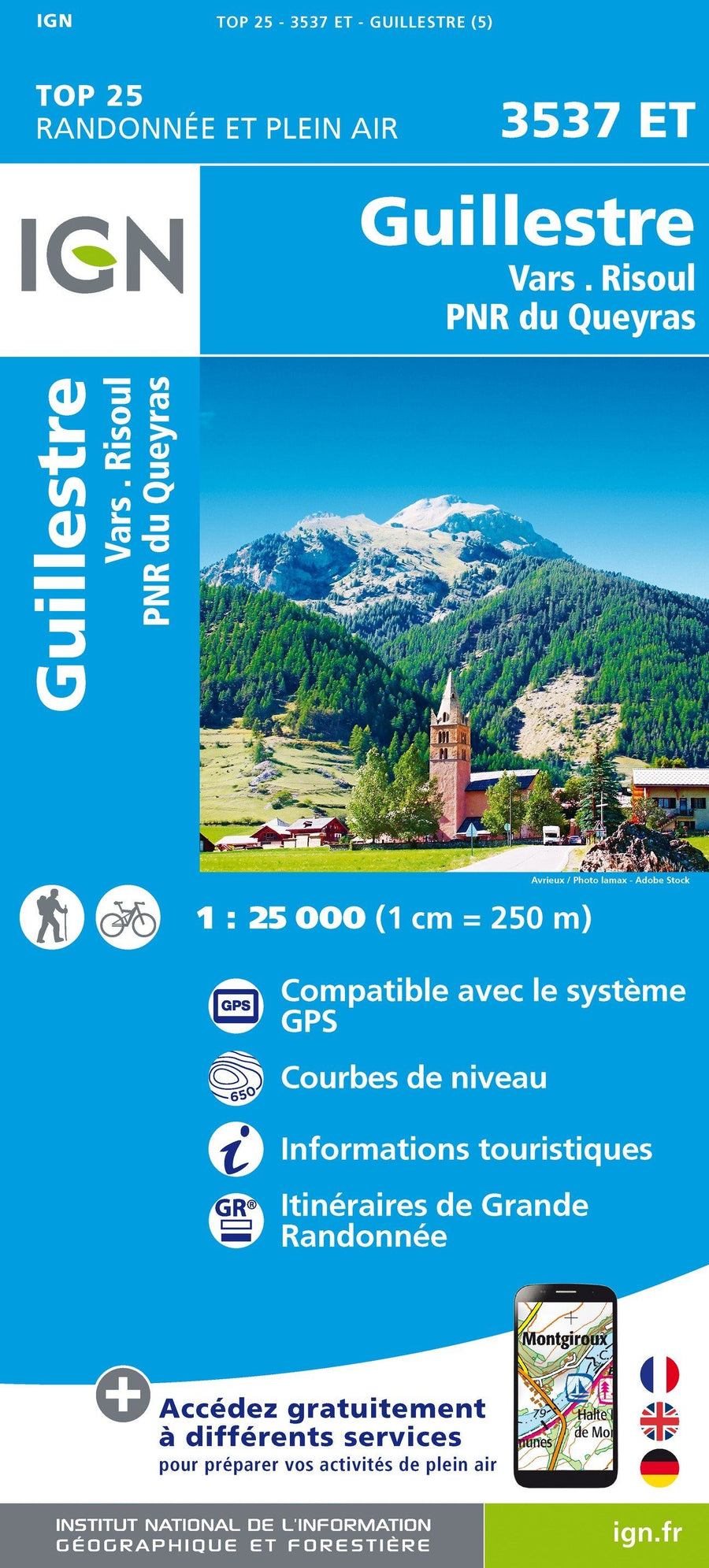
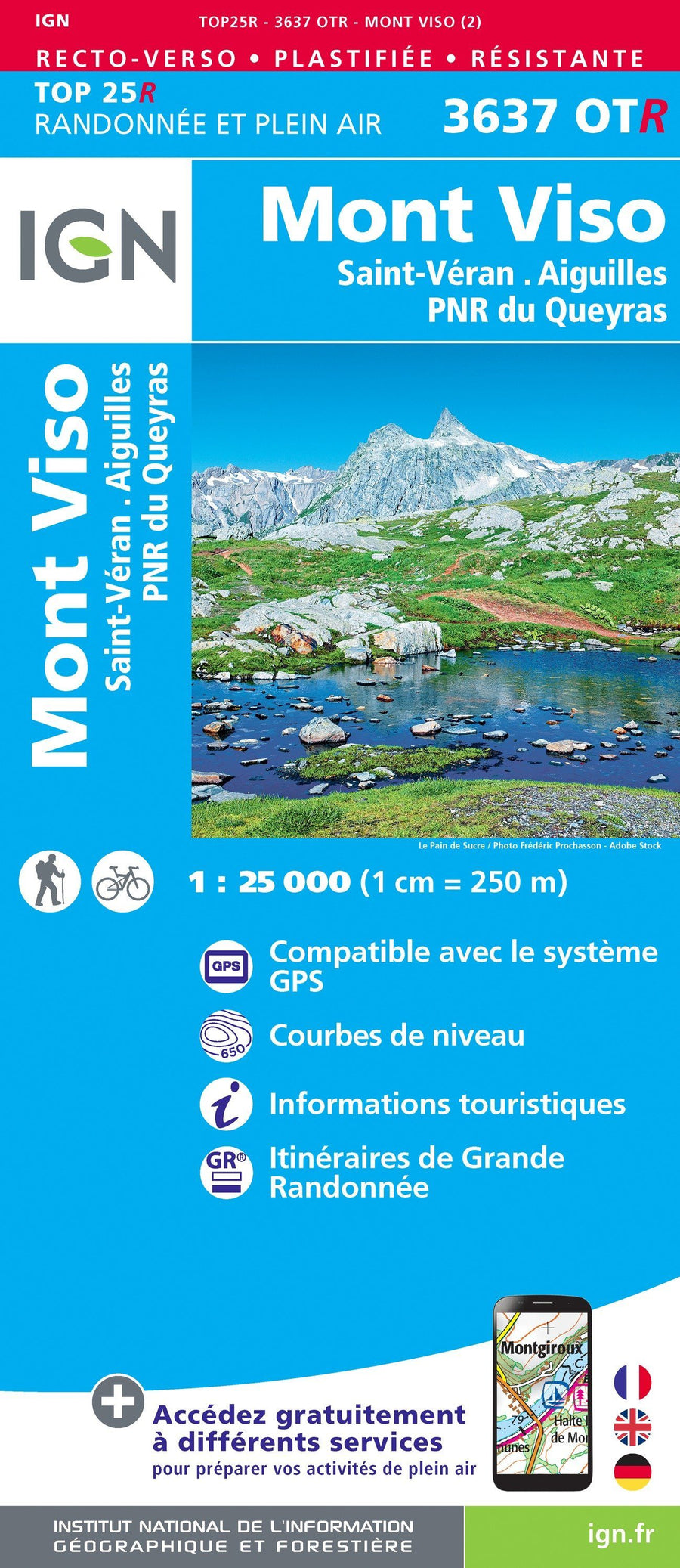
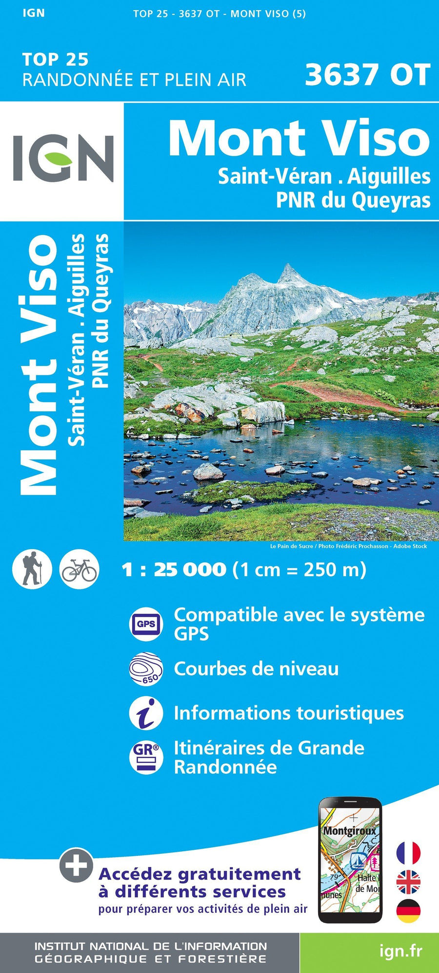
  • Backordered, shipping soon
Tax included.

Topoguide of the "walk & amp, hiking" collection with detailed sheets for hiking in Queyras and Guillestris.

41 walking and hiking trails.

Queyras and Guillestois are intimately linked. The main access to the first goes by the second. The first consists of valleys dominated by peaks exceeding the 3000 m, but has a welcoming character that it owes its reasonable slopes covered with forests and pastures, its numerous watercourses, to its original architecture and to Its small engadine air.

The second is more open on the valley of the Durance and presents larger landscapes where the view carries far, on the neighboring massifs of the Ecrins and the Ubaye. Many passes connect them and make, as per magic, to move from a steppic durancian-style environment to sweet meadow landscapes and picked mountains of larch groves.

The Guillestrais also awaits you with its many assets: Villages of a high heritage character, rich and preserved natural environment, UNESCO-ranked Vauban site ...


ISBN/EAN : 9782751412516
Publication date: 2023
Pagination: 120 pages
Folded dimensions: 21x13cm
Language(s): French
Poids : 190 g

Customer Reviews

No reviews yet
0%
(0)
0%
(0)
0%
(0)
0%
(0)
0%
(0)