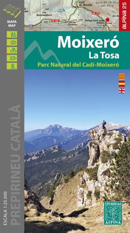
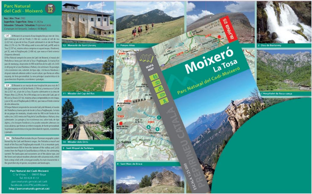
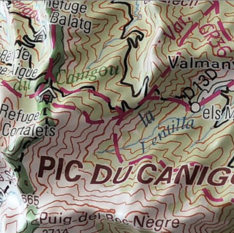
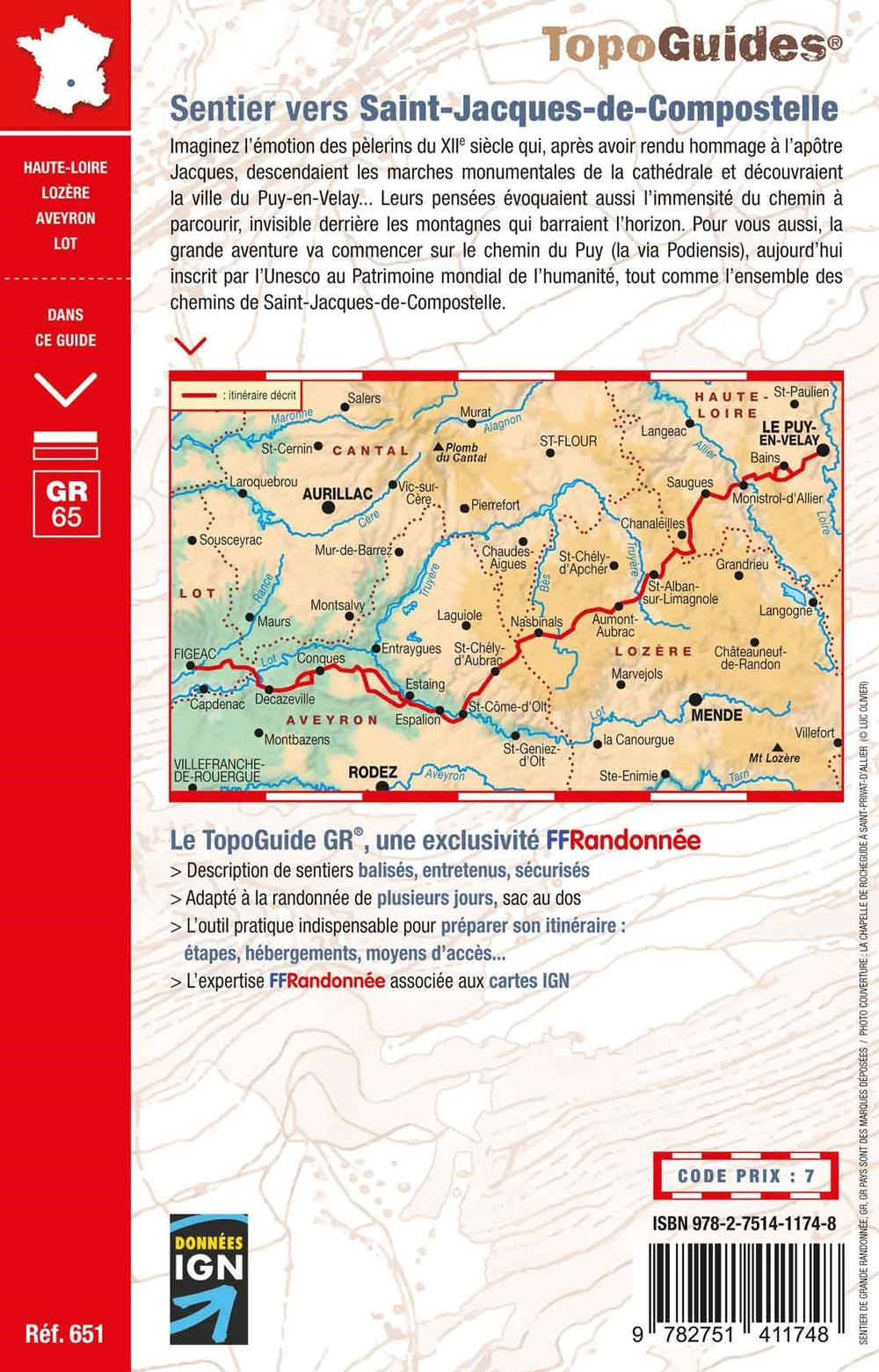
Hiking map - Moixero, La Tosa & Natural Park of Cadi - Moixero (Catalonia) | Alpina
Regular price
$18.00
Regular price
Sale price
$18.00
Save $-18
/
- Shipping within 24 working hours from our warehouse in France
- Delivery costs calculated instantly in the basket
- Free returns (*)
- Real-time inventory
- In stock, ready to ship
Related geographic locations and collections: Cadi-Moixero Natural Park, Catalonia, Cerdanya, Editorial Alpina, Pyrenees, Spanish Pyrenees, Spanish Pyrenees - Assembly Table - Editorial Alpina