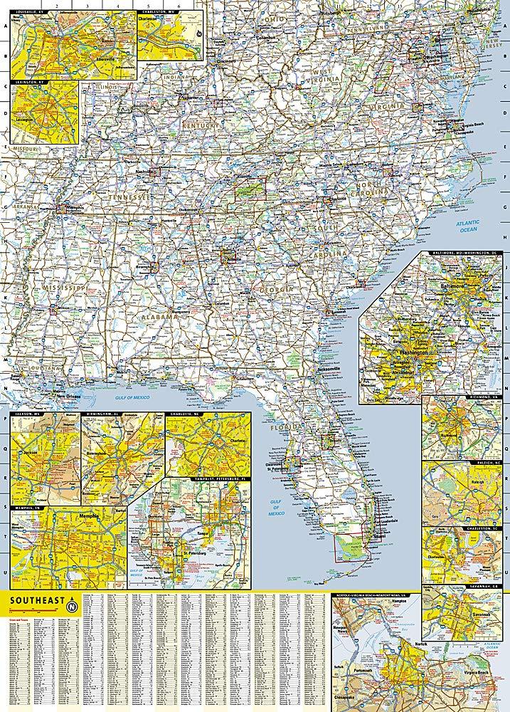
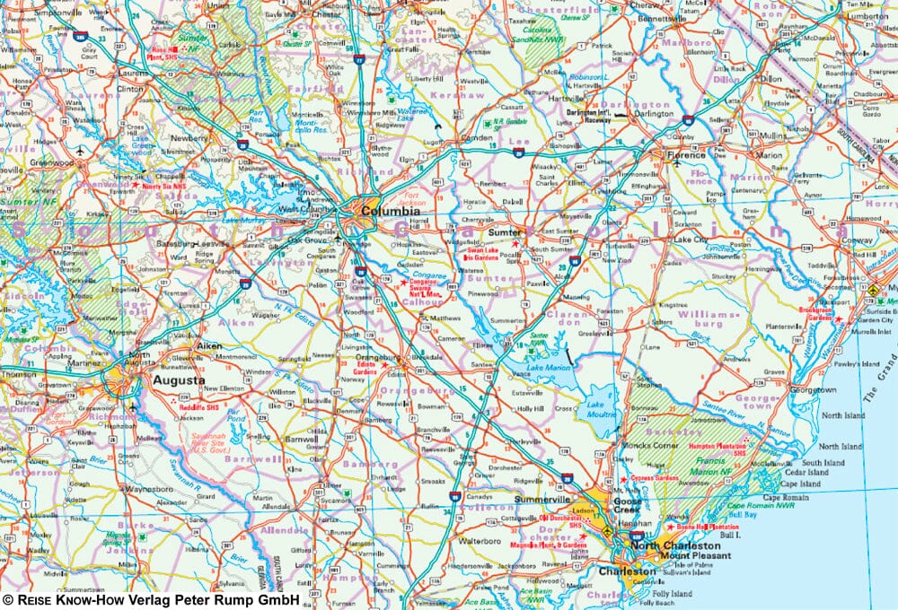
Travel map - South - East US | National Geographic
Regular price
$14.00
Regular price
Sale price
$14.00
Save $-14
/
- Shipping within 24 working hours from our warehouse in France
- Delivery costs calculated instantly in the basket
- Free returns (*)
- Real-time inventory
- Low stock - 2 items left
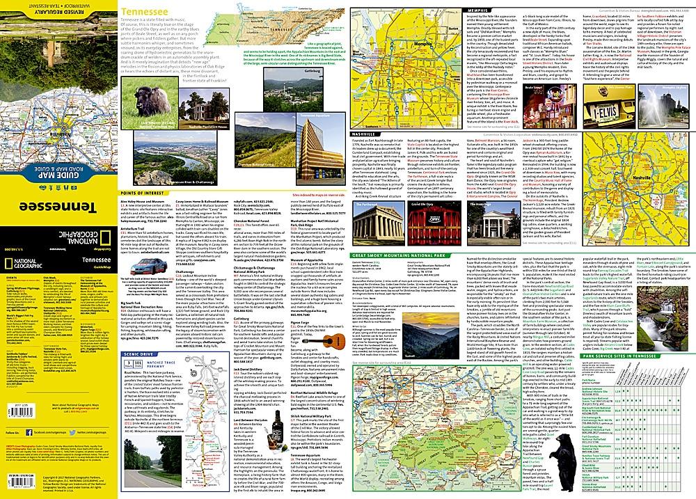
Related geographic locations and collections: Everglades National Park, Great Smoky Mountains National Park, Shenandoah National Park, Southern United States, Tennessee