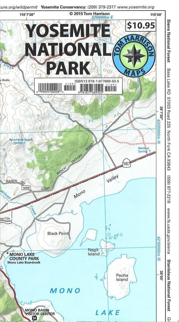
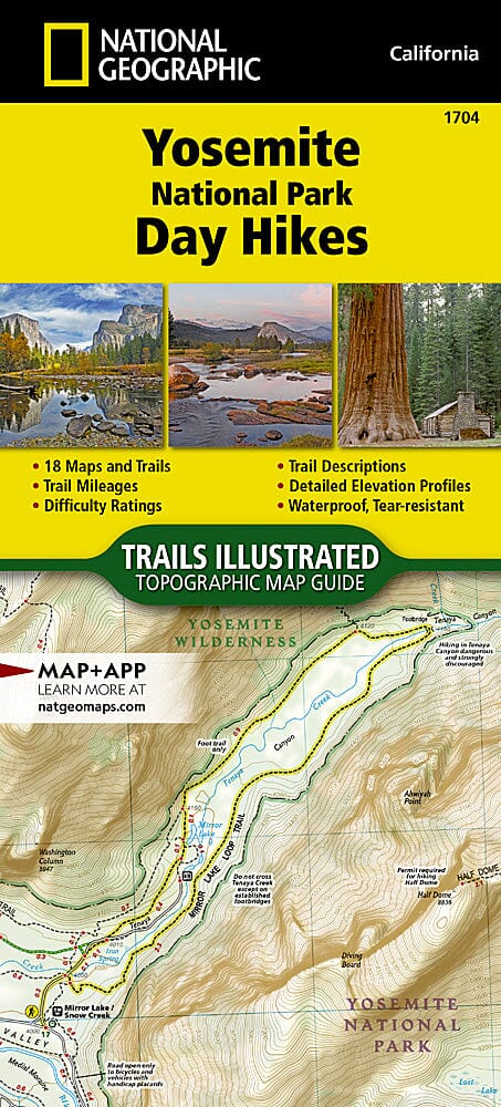
Yosemite National Park | Tom Harrison Maps
Regular price
$17.00
Regular price
Sale price
$17.00
Save $-17
/
- Shipping within 48 business hours from our warehouse in the USA. For this product, customs fees may be requested by the carrier upon delivery.
- Delivery costs calculated instantly in the basket
- Free returns (*)
- Real-time inventory
Related geographic locations and collections: California (hiking maps), Yosemite National Park

![Yosemite National Park Map & Day Hikes [Map Pack Bundle] | National Geographic carte pliée](http://mapscompany.com/cdn/shop/products/carte-du-parc-national-de-yosemite-et-randonnees-dune-journee-pack-de-cartes-national-geographic-carte-pliee-national-geographic-235854.jpg?v=1694453003&width=900)
![National Parks Trail Map Collection [boxed set] | National Geographic carte pliée](http://mapscompany.com/cdn/shop/products/collection-de-cartes-de-sentiers-des-parcs-nationaux-coffret-national-geographic-carte-pliee-national-geographic-542986.jpg?v=1694457916&width=900)