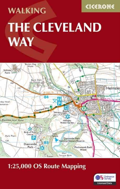
LIvret de cartes (en anglais) - Cleveland Way | Cicerone guide de randonnée Cicerone

Hiking guide - Cleveland Way | Cicerone

Price
Regular price $14.00
Regular price Sale price $14.00
Save $-14
/
  • Shipping within 24 working hours from our warehouse in France
  • Delivery costs calculated instantly in the basket
  • Free returns (*)
  • Real-time inventory
  • Low stock - 2 item left
  • Backordered, shipping soon
Tax included.

Often purchased together:

Topoguide (in English) of the Cicerone publisher.
Description Provided by the publisher:
Map Booklet of the Cleveland Way National Trail, 177 km (110 mile) Walk around the North York Moors National Park. This Booklet is included with the cicerone guidebook to the Cleveland Way and the Yorkshire Wolds Way, and Shows The Full Route of the Cleveland Way on OS 1: 25,000 Maps.
Seasons: ALL YEAR ROUND, THOUGH WINTER CAN BE BLEAK AND WET ON THE MOORS.
Centers: Scarborough, Whitby, Filey, Helmsley, Osmotherley.
Difficulty: Suitable for all: In The Related Guidebook The Trail Is Divided Into Sections Ranging from 2½ - 12 miles. THERE ARE SOME ISOLATED STRETCHES. MUST SEE: Yorkshire's Heritage Coast Ryedale Folk Museum Rievaulx Abbey Whitby Historic Villages Moorland Scenery.


ISBN/EAN : 9781786312228
Publication date: 2024
Pagination: 64 pages
Folded dimensions: 12 x 17cm
Language(s): English
Weight: 71 g

Customer Reviews

No reviews yet
0%
(0)
0%
(0)
0%
(0)
0%
(0)
0%
(0)
Guide de randonnées (en anglais) - Coast to Coast Map Booklet, northern England trails | Cicerone guide de randonnée Cicerone
Guide de randonnées (en anglais) - The Coast to Coast Walk, northern England trails | Cicerone guide de randonnée Cicerone
Hiking guide - Coast to Coast Map Booklet, Northern England Trails | Cicerone
Cicerone
$19.00
Guide de randonnées (en anglais) - Coast to Coast walk from St-Bees to Robin Hood's Bay | Cicerone guide de randonnée Cicerone
Hiking guide - Coast to Coast Walk from St - Bees to Robin Hoos Bay | Cicerone
Cicerone
$25.00
Carte de randonnée n° OL027 - North York Moors Eastern area (Grande Bretagne) | Ordnance Survey - Explorer carte pliée Ordnance Survey
Hiking map # OL027 - North York Moors Eastern Area (Great Britain) | Ordnance Survey - Explorer
Ordnance Survey
from $20.00
Topoguide de randonnées (en anglais) - Cleveland Way | Trailblazer guide de randonnée Trailblazer
Hiking guide (in English) - Cleveland Way | Traillazer
Trailblazer
$23.00
Carte de randonnée - North York Moors Ouest XT40 | Harvey Maps - Ultramap carte pliée Harvey Maps
Hiking map - North York Moors West XT40 | Harvey Maps - Ultramap
Harvey Maps
$20.00