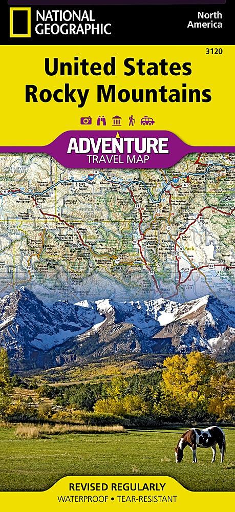
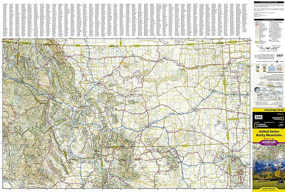
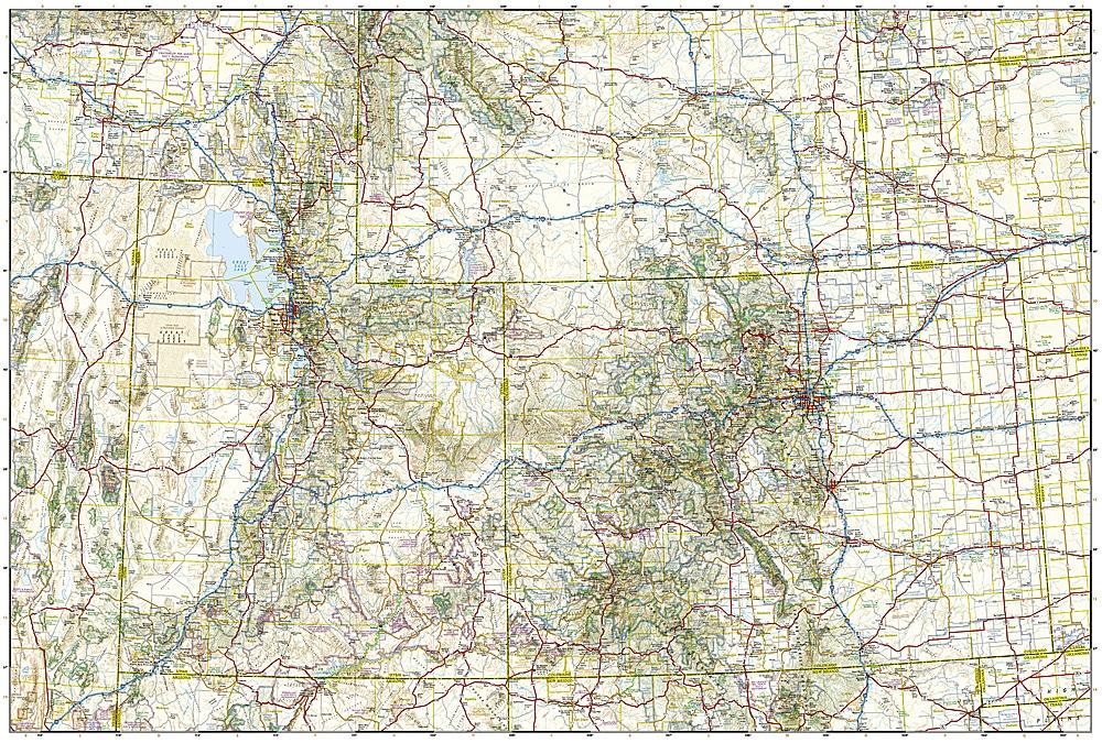


Travel map - Rocky Mountains (USA) | National Geographic
Regular price
$19.00
Regular price
Sale price
$19.00
Save $-19
/
- Shipping within 24 working hours from our warehouse in France
- Delivery costs calculated instantly in the basket
- Free returns (*)
- Real-time inventory
- In stock, ready to ship
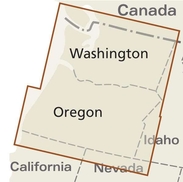
Related geographic locations and collections: Arches National Park, Canyonlands National Park, Capitol Reef National Park, Glacier National Park, Grand Teton National Park, Mesa Verde National Park, Northwest USA, Rocky Mountain National Park, Southwest USA, USA, Zion National Park