Canyonlands National Park [Map Pack Bundle] | National Geographic carte pliée

Canyonlands National Park [Map Pack Bundle] | National Geographic

Price
Regular price $39.00
Regular price Sale price $39.00
Save $-39
/
  • Shipping within 48 business hours from our warehouse in the USA. For this product, customs fees may be requested by the carrier upon delivery.
  • Delivery costs calculated instantly in the basket
  • Free returns (*)
  • Real-time inventory
  • In stock, ready to ship
  • Backordered, shipping soon
Tax included.

Often purchased together:

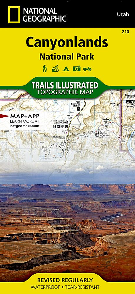
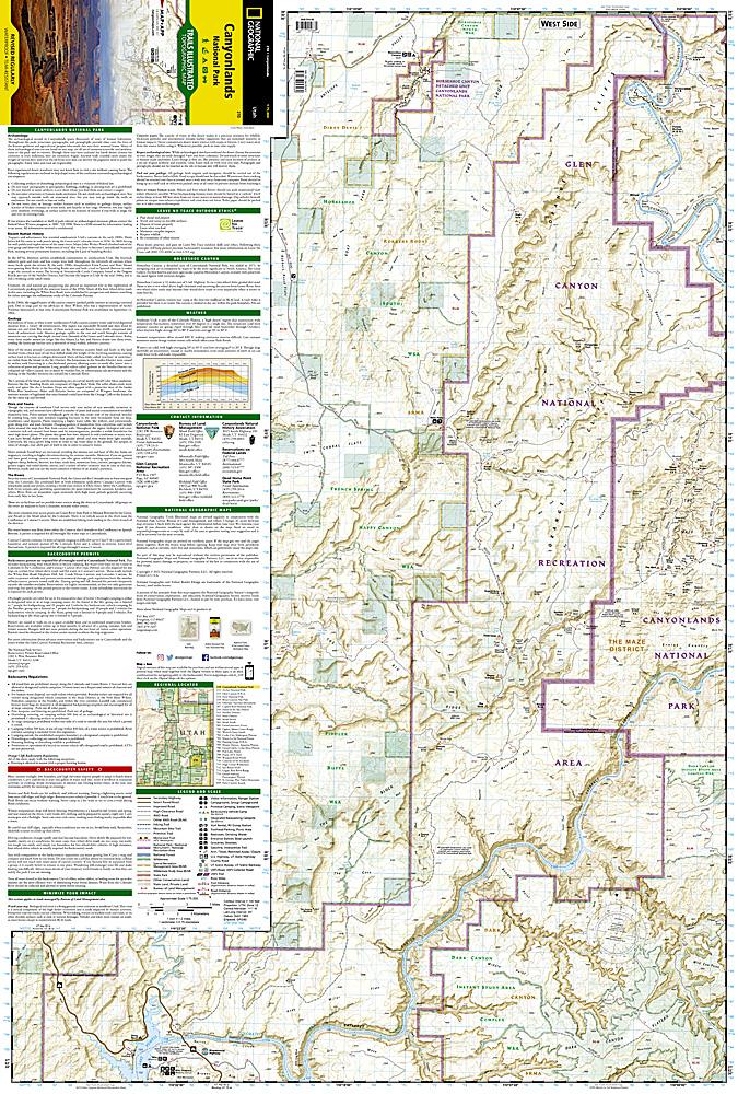
Canyonlands National Park encloses 337,598 acres of colorful canyons, mesas, buttes, fins, arches, and spires in the heart of southeast Utah's high desert. This Map Pack combines the three distinct districts of Canyonlands into an easy to purchase bundle. While the districts appear close on a map, there are no roads that directly link them so each map in the bundle represents a different adventure into the rugged canyon landscape. The districts share a primitive desert atmosphere, but each retains its own character and offers different opportunities for exploration and adventure. Buy the Map Pack and save 15%! The Canyonlands National Park Map Pack includes: Map 310 :: Island in the Sky District: Canyonlands National Park Map 311 :: Needles District: Canyonlands National Park Map 312 :: Maze District: Canyonlands National Park Every Trails Illustrated map is printed on "Backcountry Tough" waterproof, tear - resistant paper. A full UTM grid is printed on the map to aid with GP


ISBN/EAN : 9781566957373
Publication date: 2017
Folded dimensions: 7.5 inches x 4 inches (19 x 10 cm)
Unfolded dimensions: 25.5 inches x 37.75 inches (64 x 95 cm)
Language(s): English
Weight: 0 g

Customer Reviews

Based on 1 review
100%
(1)
0%
(0)
0%
(0)
0%
(0)
0%
(0)
H
Henri M. (Meylan, FR)
Meilleures cartes de randonnées de ce parc

Très belles cartes pour un parc à la géographie et au réseau de pistes et sentiers complexes : l'échelle 1:37500 (oui les inches et miles c'est moins bien que le métrique..) et l'équidistance des courbes de niveau (50') est parfaite pour la taille de la carte étant donnée la surface à couvrir. Le papier plastifié est résistant, l'impression recto-verso magnifique et les pistes et sentiers très bien décrits avec indications de difficulté. Une seule toute petite critique, le "Regional locator" qui permet de voir la zone couverte est trop petit donc peu lisible. Au total, un superbe produit au prix justifié.