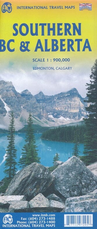
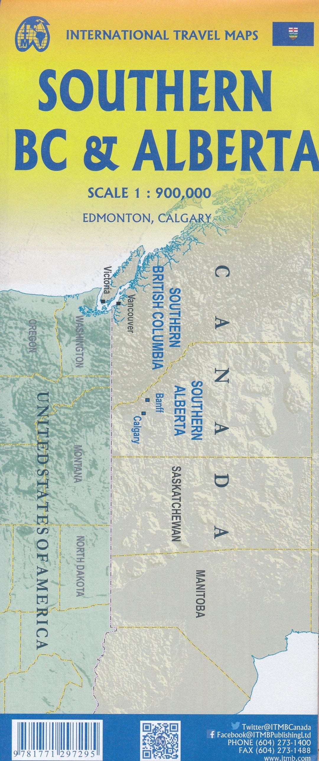
Travel map - British Columbia South and Alberta South | ITM

Price
Regular price $13.00
Regular price Sale price $13.00
Save $-13
/
  • Shipping within 24 working hours from our warehouse in France
  • Delivery costs calculated instantly in the basket
  • Free returns (*)
  • Real-time inventory
  • In stock, ready to ship
  • Backordered, shipping soon
Tax included.

Often purchased together:

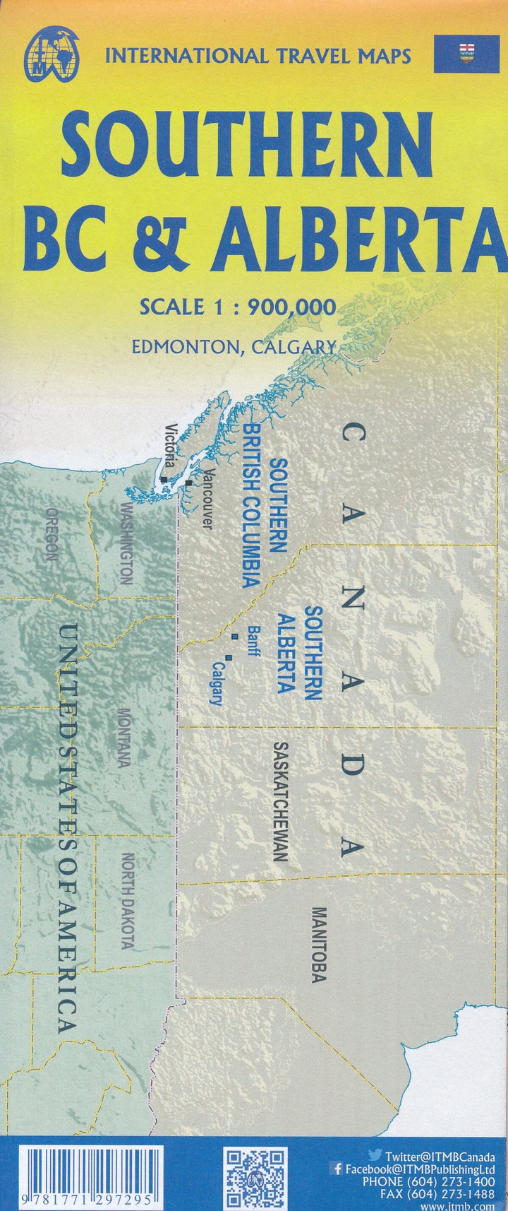
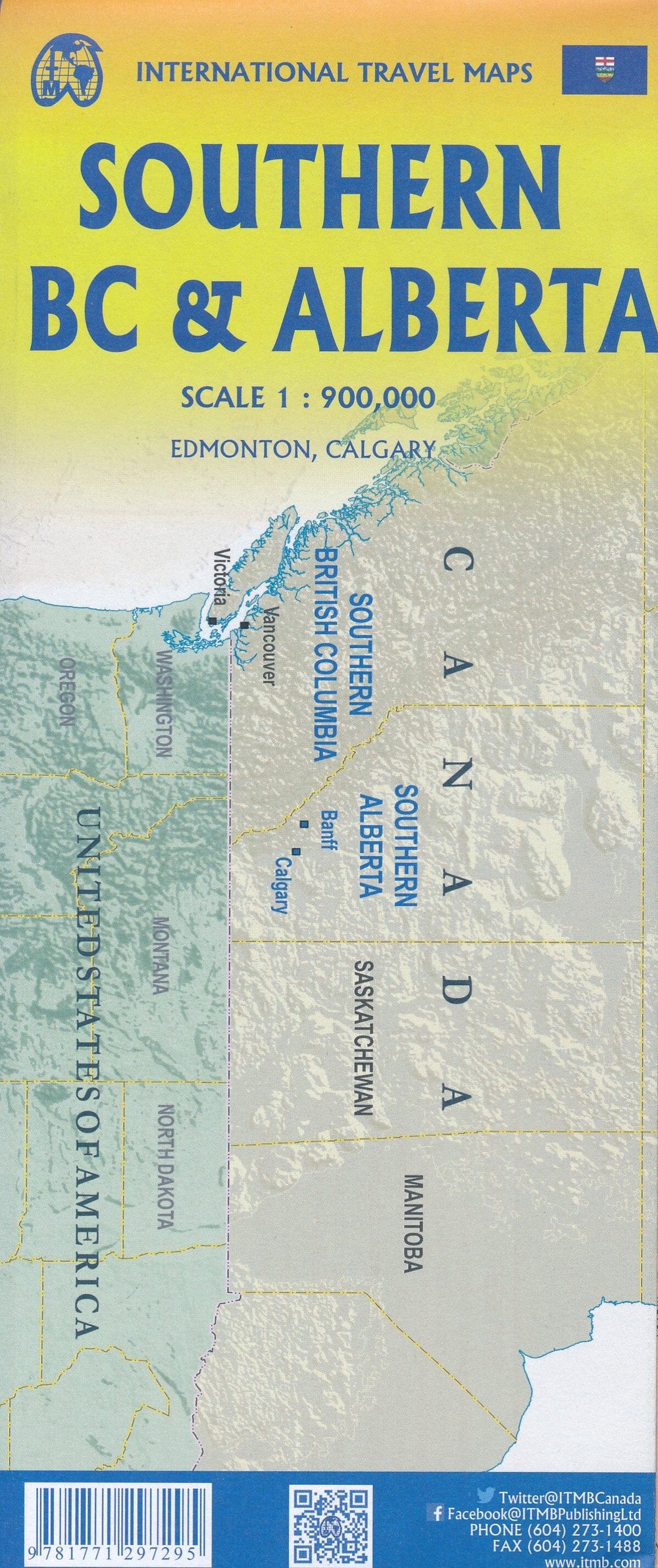
South Road map of British Columbia and Alberta (Canada) edited by ITM.
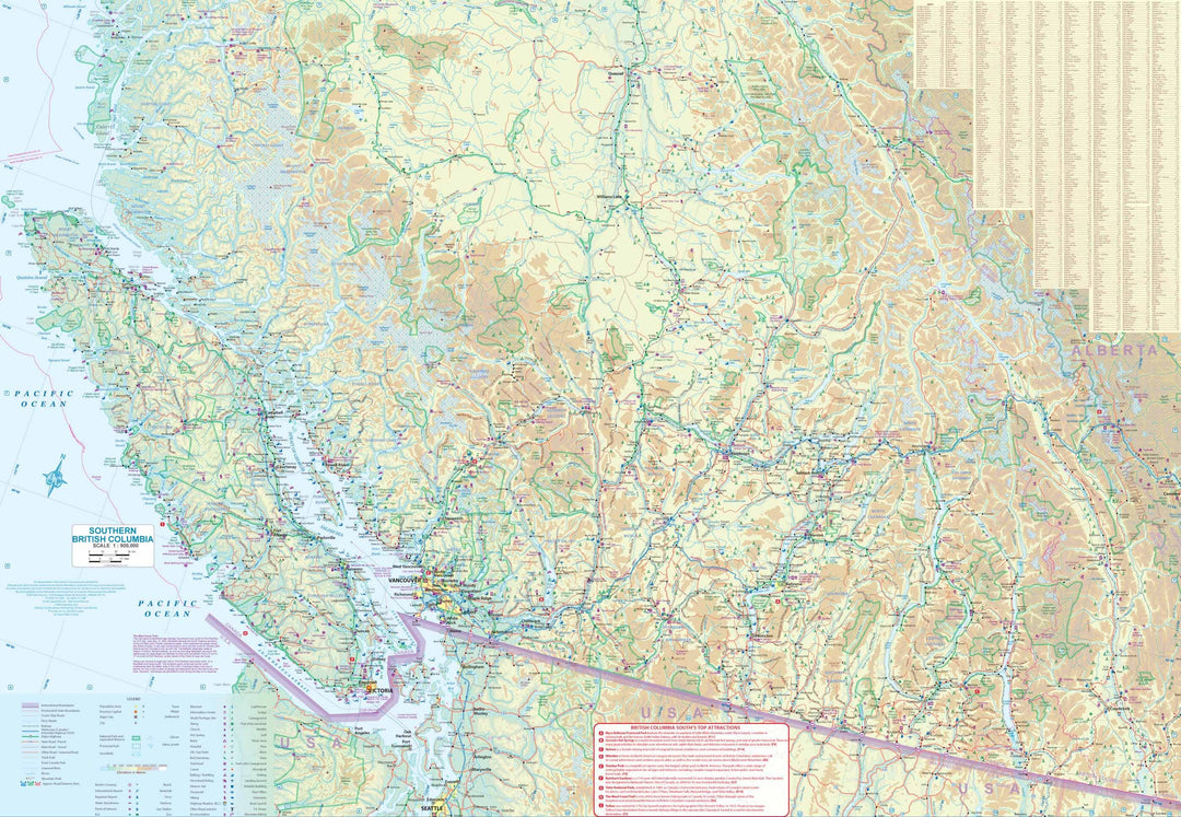
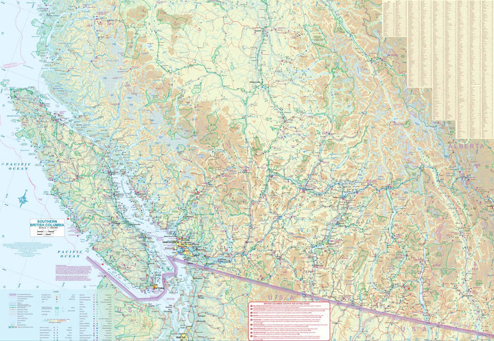
The Recto covers British Columbia from the American border to Prince George north and to the Alberta border in the East, with a Calgary inset. The entire Vancouver Island, the Okanagan Valley and Banff and Jasper National Parks are included. The map shows campsites (nearly 1,000 are shown), ski resorts, fishing areas, and even gas stations in remote areas of the vast province.
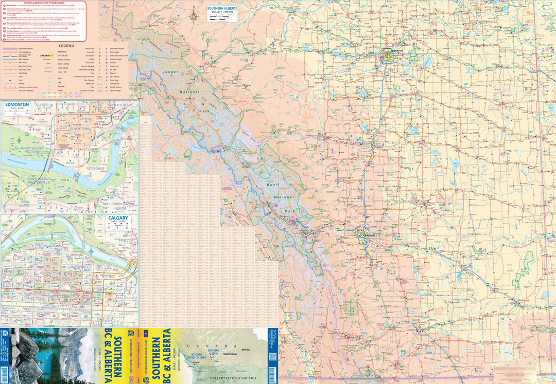
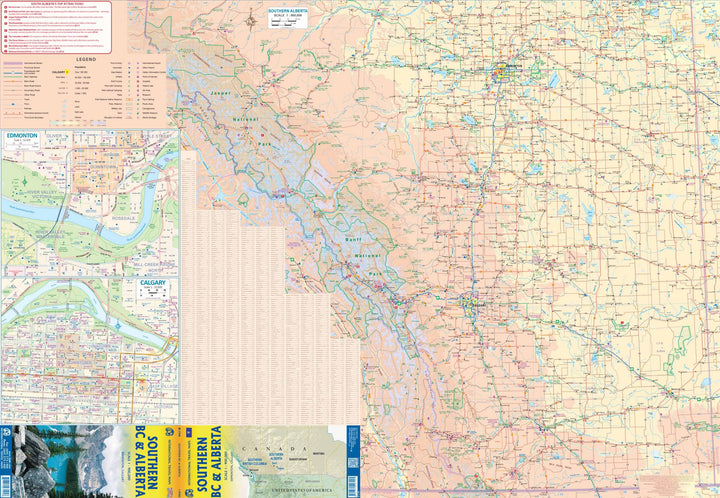
The Verso covers Alberta, Northern Edmonton at the US border (from north to south) and Rocky Mountains in Saskatchewan.
Cartography of the relief and index of cities also provided. Indication of points of interest.
Scale 1 / 1,000,000 (1 cm = 10 km).


ISBN/EAN : 9781771297295
Publication date: 2023
Scale: 1/1,000,000 (1cm=10km)
Printed sides: both sides
Folded dimensions: 24.6 x 10.3 x 0.5cm
Unfolded dimensions: 68x100cm
Language(s): English
Weight: 53 g

Customer Reviews

Based on 1 review
100%
(1)
0%
(0)
0%
(0)
0%
(0)
0%
(0)
J
Jean M.R. (Lussas-et-Nontronneau, FR)
carte B C

Carte conforme à ce que j'attendais.
A tester sur le terrain

More from Western Canada
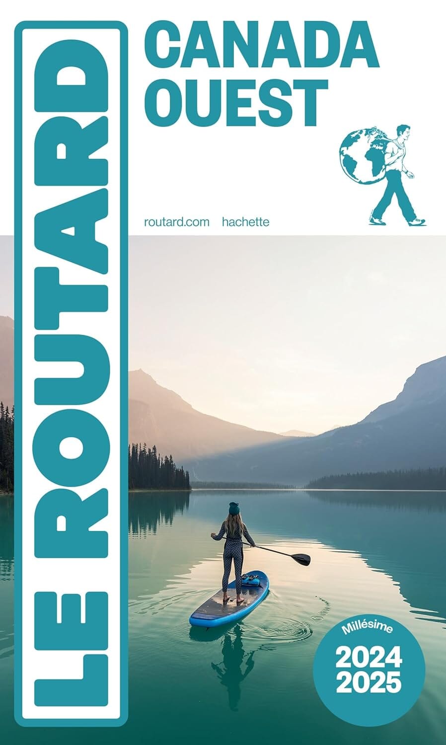
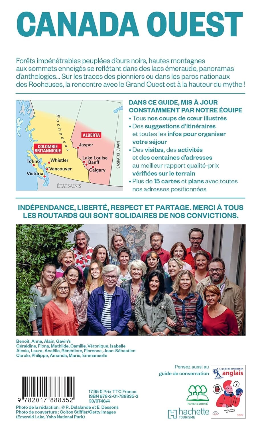
Guide du Routard - Canada Ouest 2024/25 | Hachette guide de voyage Hachette
Guide du Routard - Canada West | Hachette (French)
Hachette
$20.00
Carte de voyage de l'ouest du Canada | ITM - La Compagnie des Cartes
Travel map - West Canada | ITM
ITM
$14.00