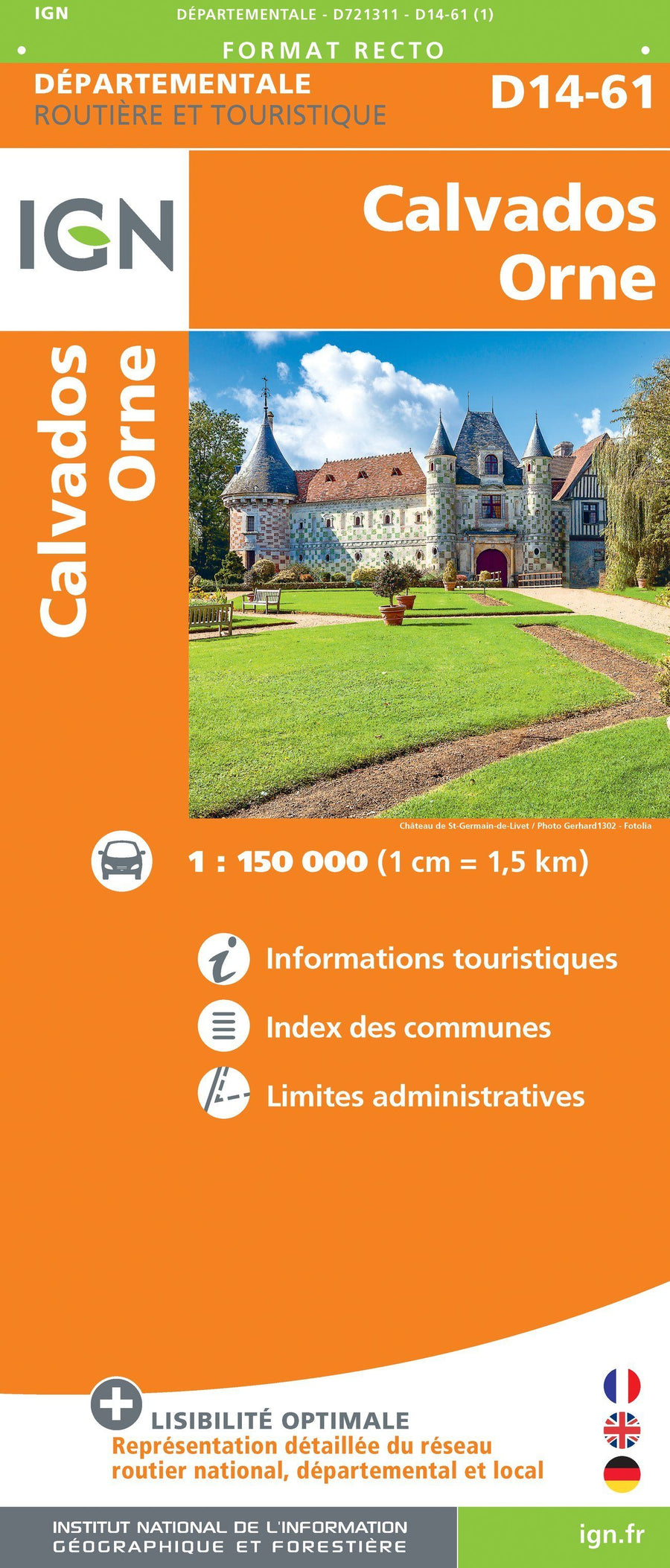
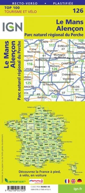
Carte TOP 100 n° 126 - Le Mans, Alençon & PNR du Perche | IGN carte pliée IGN

Top 100 Map ° 126 - Le Mans, Alençon & PNR of the Perche | IGN

Top 100 Map ° 126 - Le Mans, Alençon & PNR of the Perche | IGN

Regular price $10.00
/
  • Shipping within 24 working hours from our warehouse in France
  • Delivery costs calculated instantly in the basket
  • Free returns (*)
  • Real-time inventory
  • In stock, ready to ship
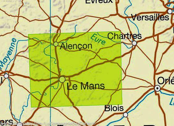
  • Backordered, shipping soon
Tax included.

Map IGN Top 100 of the Mans, Alençon and Regional Percle Park Region: A road map but also a hiking map to discover a region as well by car, cycling or on foot. This map gives with great precision the road network (main roads, secondary, small roads) and motorway and also indicates the roads of great hiking (GR).

The relief is well highlighted by level curves. Indication of bike paths. Signaling of tourist attractions (leisure parks, climbing spots ...).

This map includes GPS compatible grid. Scale 1 / 100,000 (1 cm = 1 km).


ISBN/EAN : 9782758547525
Publication date: 2019
Scale: 1/100,000 (1cm=1km)
Printed sides: both sides
Folded dimensions: 23.6 x 11.2 x 0.5cm
Unfolded dimensions: 120 x 96cm
Language(s): French, English, German
Poids : 89 g

Customer Reviews

Based on 1 review
0%
(0)
0%
(0)
100%
(1)
0%
(0)
0%
(0)
P
Patrick B. (Saint-Brieuc, FR)
Que faire...

On est bien obligé d'utiliser vos cartes..... je regrette les anciennes éditions des années 80 - 2000 qui pour moi étaient plus précises et détallées.. comme tout le monde vous suivez une évolution qui se veut plus moderne mais pas toujours le mieux, l'impression recto verso est très désagréable mais je comprends l'économie de papier...