Toledo and Bowling Green - Ohio - large print | GM Johnson

Price
Regular price $7.00
Regular price Sale price $7.00
Save $-7
/
  • Shipping within 48 business hours from our warehouse in the USA. For this product, customs fees may be requested by the carrier upon delivery.
  • Delivery costs calculated instantly in the basket
  • Free returns (*)
  • Real-time inventory
  • In stock, ready to ship
  • Backordered, shipping soon
Tax included.

Often purchased together:

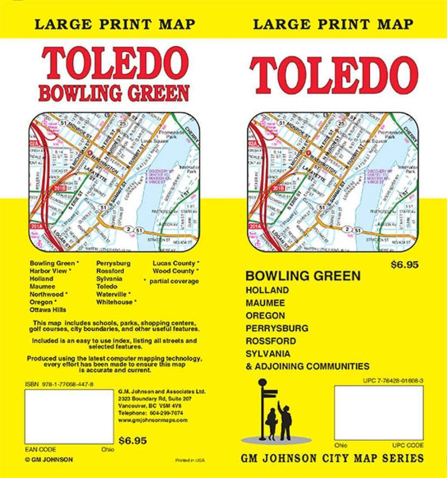
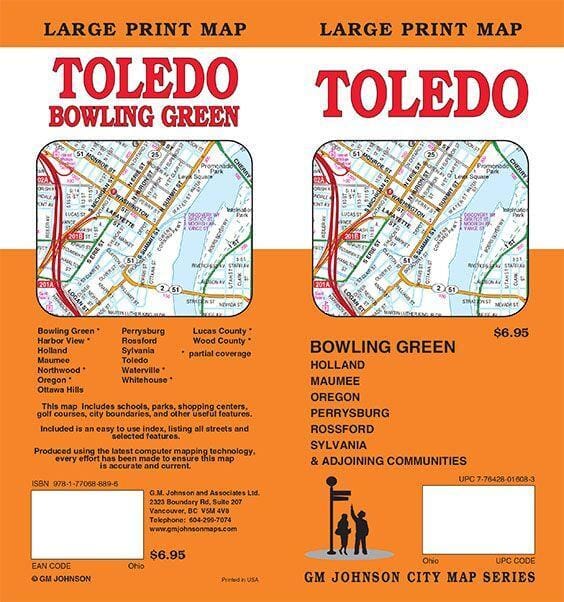
Folded street map of Toledo and Bowling Green, OH. Main map covers Toledo from Lucas County to Rossford, Wood County to Elden Heights. Reverse contains index and maps of Toledo to Lake Erie and Bowling Green.


ISBN/EAN : 9781770688896
Publication date: 2019
Unfolded dimensions: 38.58 x 26.38 inches / 98 x 67cm
Language(s): English
Weight: 0 g

Customer Reviews

Based on 1 review
0%
(0)
0%
(0)
100%
(1)
0%
(0)
0%
(0)
V
Virginia B. (Daly City, US)
Not Great

You have to flip the map over to see all of the Toledo area, not great.