Cincinnati - Ohio - Street Map Atlas | GM Johnson

Cincinnati - Ohio - Street Map Atlas | GM Johnson Atlas

Cincinnati - Ohio - Street Map Atlas | GM Johnson

Regular price $18.00
/
  • Ships within 48 business hours from our US warehouse. For this product, customs fees may be requested by the carrier upon delivery.
  • Delivery costs calculated instantly in the cart
  • Free returns (*)
  • Real-time inventory
  • In stock, ready to ship
  • Inventory on the way
Tax included.

Often purchased together:

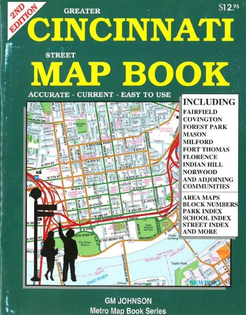
This map book is a full color street map of Greater Cincinnati. The map covers all of Cincinnati and includes Fairfield, Covington, Forest Park, Mason, Milford, Fort Thomas, Indian Hill, Norwood & adjoining communities. Points of interest included are schools, parks, shopping centers, golf courses, block numbers, and many other useful features. Produced with the latest computer mapping technology, this map is accurate and current. An easy to use index listing all streets and selected features is included. This map book is 8 1/2" x 11".


ISBN/EAN : 9781897152393
Publication date: 2006
Unfolded dimensions: 11.02 inch / 28cm
Language(s): English
Poids : 310 g

Customer Reviews

Be the first to write a review
0%
(0)
0%
(0)
0%
(0)
0%
(0)
0%
(0)
More from Ohio
Ohio : state map : easy to read! | Rand McNally carte pliée
Ohio : state map : easy to read! | Rand McNally
Rand McNally
$11.00
Medina & Wayne Counties, OH | GM Johnson carte pliée
Medina & Wayne Counties, OH | GM Johnson
GM Johnson
$11.00
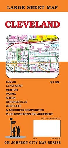
Cleveland, Ohio Street Map | GM Johnson carte pliée GM Johnson
Cleveland, Ohio Street Map | GM Johnson
GM Johnson
$11.00
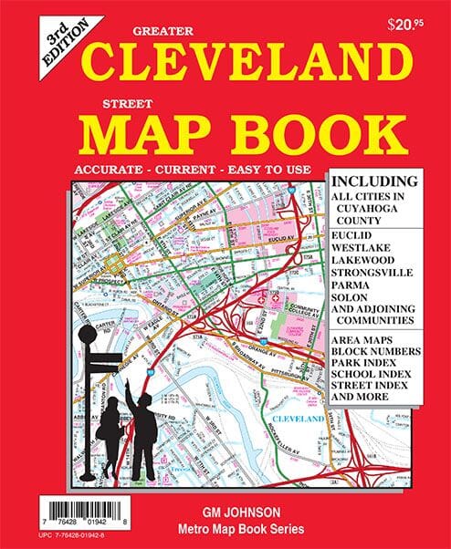
Greater Cleveland, OH street map book | GM Johnson atlas
Greater Cleveland, OH street map book | GM Johnson
GM Johnson
$28.00
Recently viewed