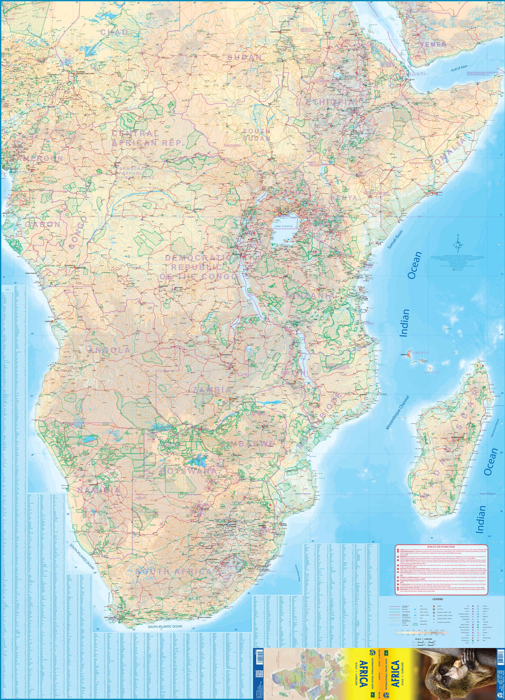
Travel map - Equatorial Africa | ITM

Price
Regular price $15.00
Regular price Sale price $15.00
Save $-15
/
  • Shipping within 24 working hours from our warehouse in France
  • Delivery costs calculated instantly in the basket
  • Free returns (*)
  • Real-time inventory
  • In stock, ready to ship
  • Backordered, shipping soon
Tax included.

Often purchased together:

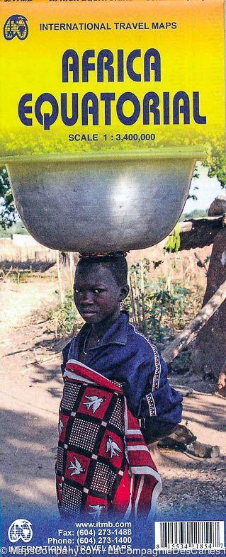
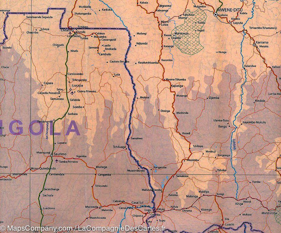
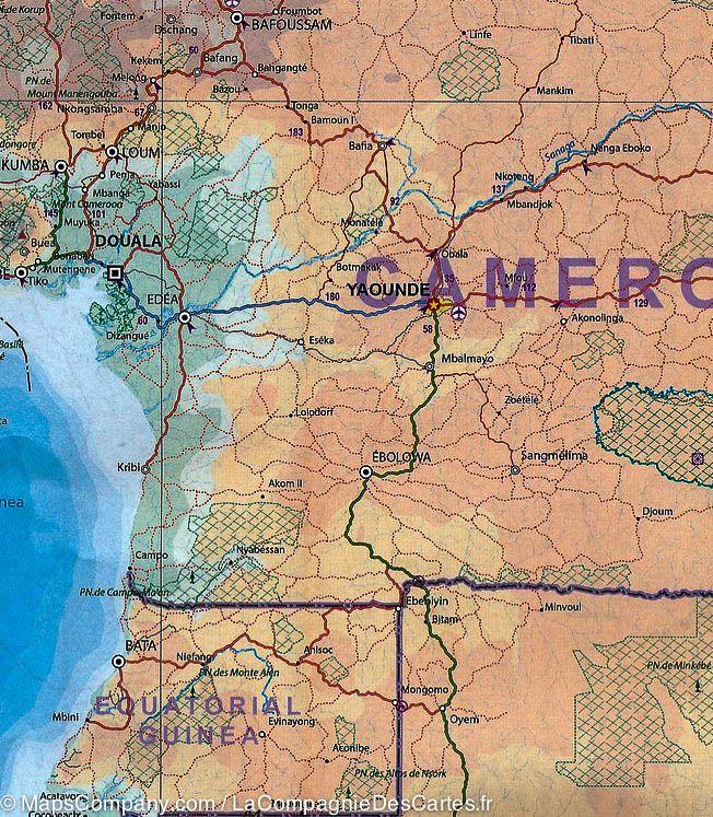
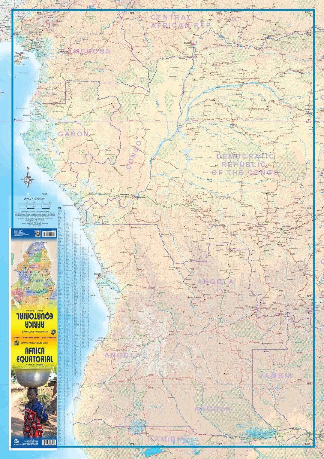
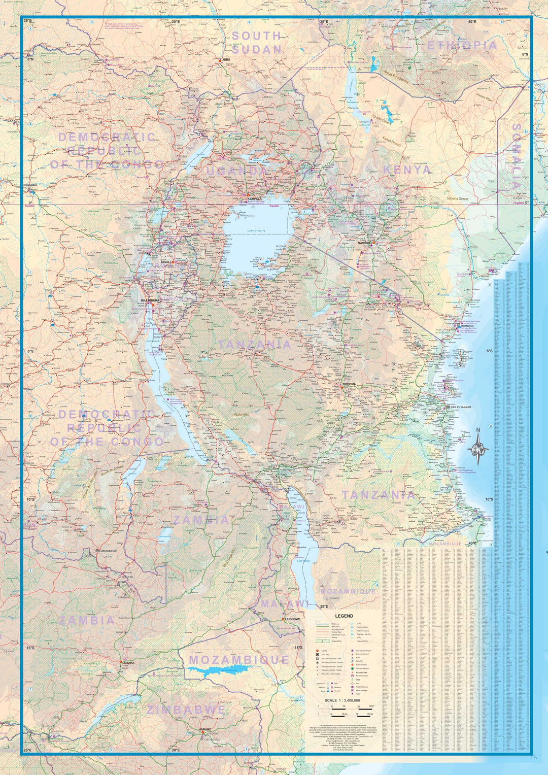
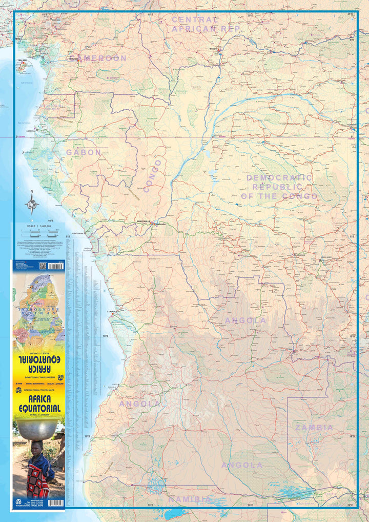
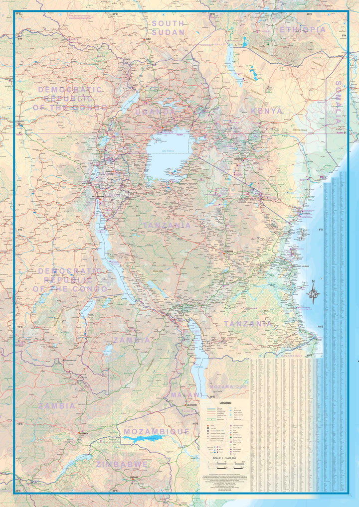
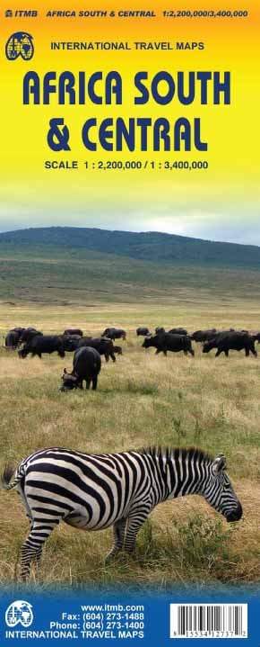
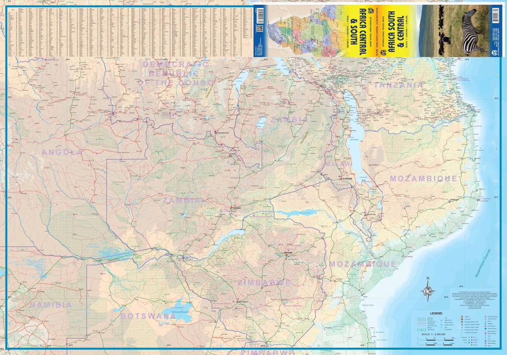
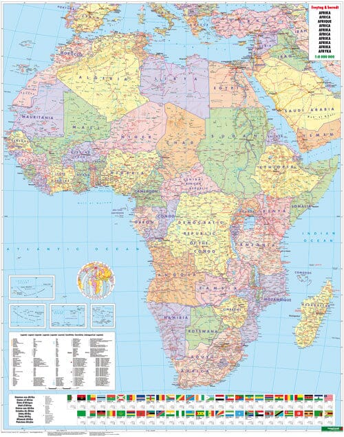
Map of Equatorial Africa published by ITM. This map covers the southern part of Nigeria / Cameroon, including Angola, Zambia, Malawi, Tanzania, Gabon, Congo and the Democratic Republic of Congo, Kenya, Uganda.

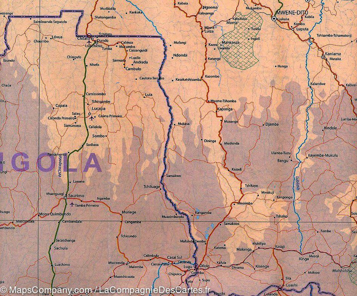
Indication of distances, urban areas, facilities, parks and attractions. The secondary roads are indicated as well as elements of the relief (lakes, waterfalls ...) and the points of interest.

Scale 1/3 400 000.


ISBN/EAN : 9781553411857
Publication date: 2014
Scale: 1/3,400,000 (1cm=34km)
Printed sides: both sides
Folded dimensions: 24.6 x 10.3 x 0.5cm
Unfolded dimensions: 100 x 68cm
Language(s): English
Weight: 52 g

Customer Reviews

No reviews yet
0%
(0)
0%
(0)
0%
(0)
0%
(0)
0%
(0)
More from Indian Ocean
Carte routière - Madagascar | IGN carte pliée IGN
Road map - Madagascar | IGN (French)
IGN
$10.00
Carte détaillée - La Réunion | IGN carte pliée IGN
Detailed map - Reunion | IGN (French)
IGN
$10.00
Carte routière plastifiée - Seychelles | Borch Map carte pliée Borch Map
Laminated road map - Seychelles | Borch Map
Borch Map
$11.00