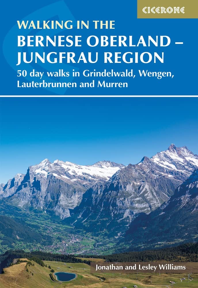
Topoguide (in English) Cicerone with detailed maps for hiking in the Bernese Oberland.
Description provided by the publisher:
This Walking Guidebook to the Bernese Oberland Describes 113 Day walks. Roads Range from 2 to 24 km and Offer Breathtaking Scenery of the Classic Eiger, Mönch and Jungfrau Mountains, Around Grindelwald, Lauterbrunnen, Gsteig and Meiringen. THERE ARE Routes Suitable for All Abilities from Short Flat walks to Adventurous Treks. Seasons May To End Semember Is The Best Weather (Goat Watch Out for Summer Thunderstorms) Huts Manned in Summer Months.
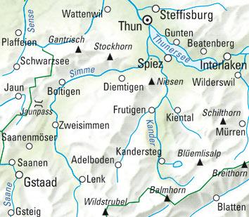
Centers: Grindelwald, Wengen, Lauterbrunnen, Mürren, Adelboden and Kandersteg.
Difficulty: Range from walks Suitable for Families to Strenuous Roads with scrambling. ALL walks GRADED IN THE GUIDE. Good Waymarking. MUST SEE: Views of the Bernese Alps, The Jungfrau, Eiger, Mönch and Others walks to the Schreckhorn and Rottal Huts Schynige Platte to First Trümmelbach Falls.
ISBN/EAN : 9781786311146
Publication date: 2023
Pagination: 256 pages
Folded dimensions: 12 x 17cm
Language(s): English
Weight:
295 g


