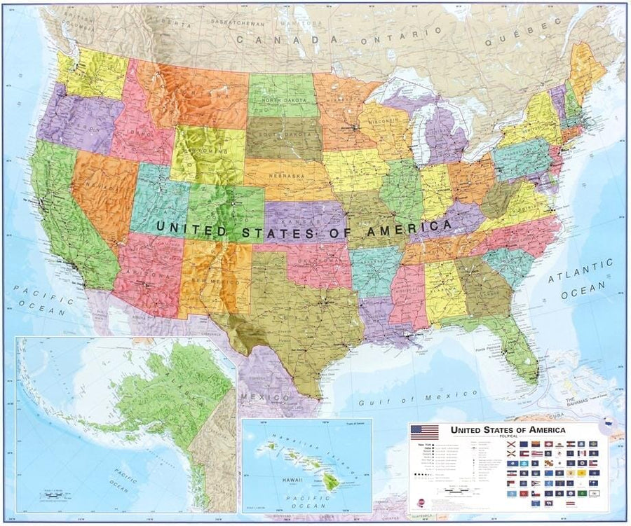
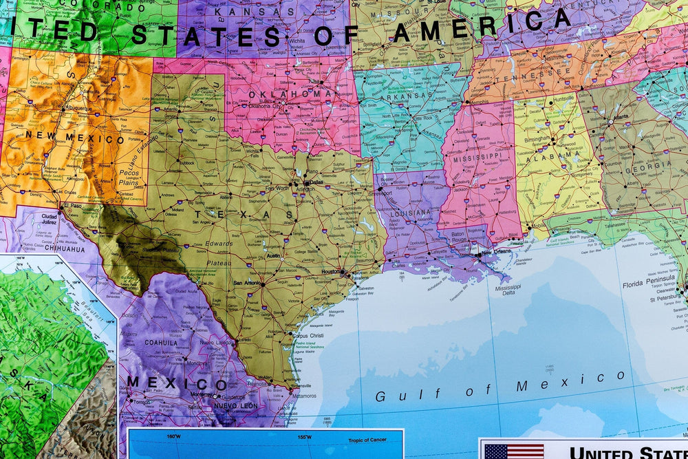
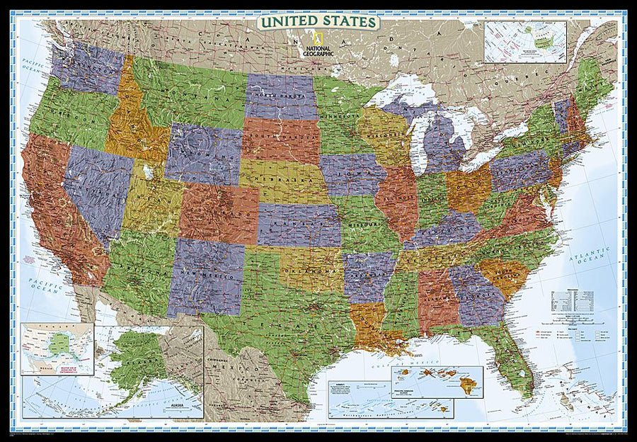
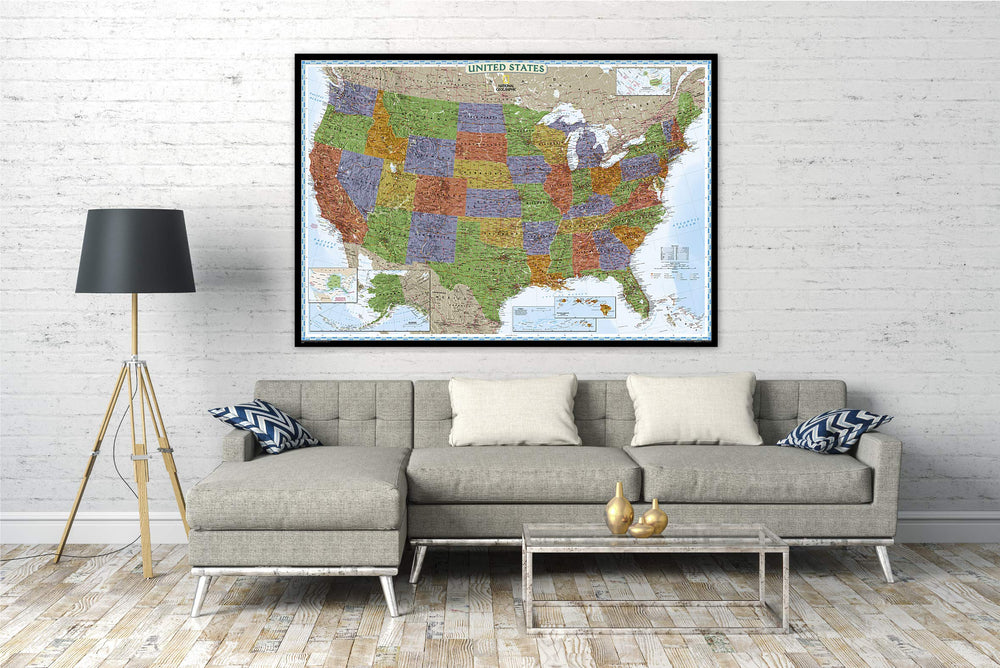
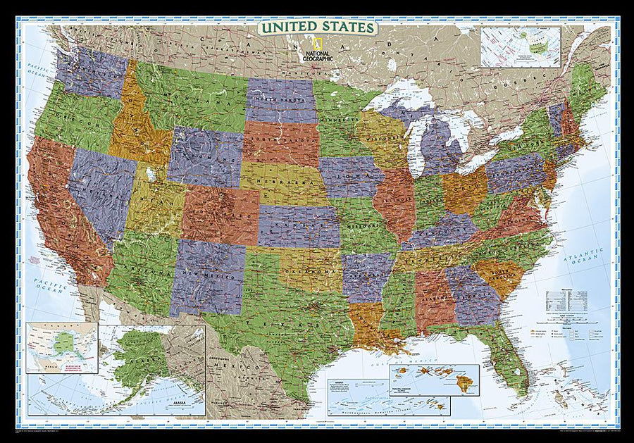
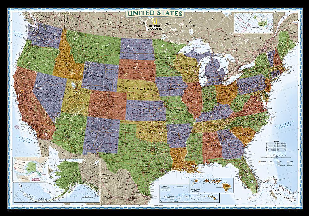
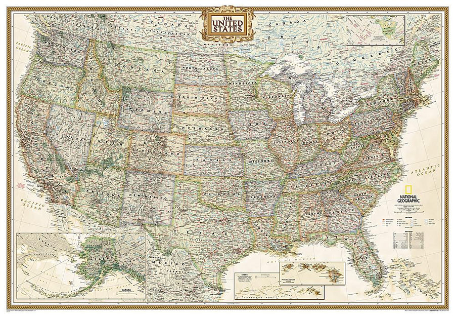
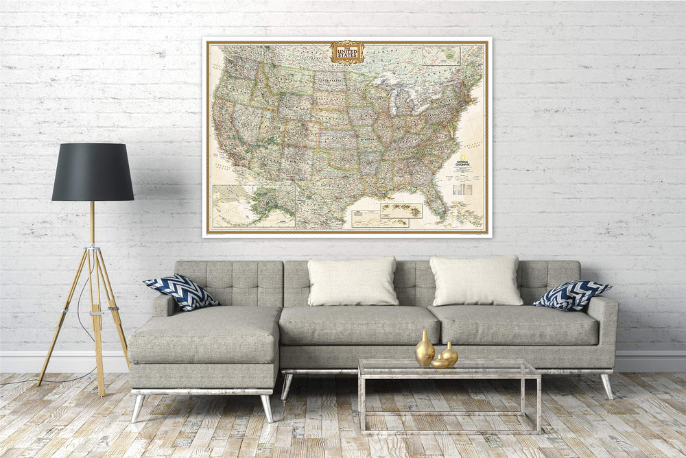
Laminated Wall Map (English) - Political USA (140 x 100 cm) | GeoMetro

Price
Regular price $28.00
Regular price Sale price $28.00
Save $-28
/
  • Shipping within 24 working hours from our warehouse in France (except laminated models)
  • Delivery costs calculated instantly in the basket
  • Real-time inventory
  • Low stock - 1 item left
  • Backordered, shipping soon
Tax included.

Often purchased together:

Large wall map of the United States (140 x 100 cm) fully laminated with the 50 states, time zones, interstates.

This map of the United States of America shows the political division of the country with all its states.

  • scale 1:4 million,
  • thousands of place names,
  • cities ranked by population,
  • full lamination, writable, tear-resistant,
  • political status 2024,
  • interstates with labels,
  • the six time zones,
  • major bodies of water, including rivers, lakes, gulfs, bays, straits and ocean bathymetry,
  • language: English,
  • longitude and latitude,
  • high print quality,
  • 140 x 100 cm.

Offset printing guarantees brilliant colors and sharp images.

The card is sent rolled in a sturdy cardboard tube.


    ISBN / EAN : 09783947298280
    Date de publication : 2024
    Echelle : 1/4,000,000 (1cm=40km)
    Impression: front
    Dimensions déplié(e) : 140 x 100cm
    Langue : English
    Poids : 400 g

    Customer Reviews

    Be the first to write a review
    0%
    (0)
    0%
    (0)
    0%
    (0)
    0%
    (0)
    0%
    (0)