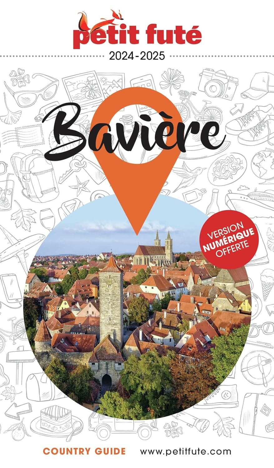
Large map of Munich on the front and road map of southern Bavaria on the back.
The Munich/Munchen map covers almost the entire city within the ring motorway, from the Olympic Stadium in the north to Munchen Ostbahnhof in the southeast, showing the tourist city centre in excellent detail.
The Bavarian part of the map stretches from Frankfurt in the northwest to Salzburg in the southeast and from the Bodensee on the Swiss border to Karlovy Vary in the west of the Czech Republic.
This card is waterproof and tear resistant.
ISBN/EAN : 9781771294904
Publication date: 2024
Scale: 1/350,000 (1 cm = 3.5 km) & 1/10,000 (1 cm = 100 m)
Printed sides: both sides
Folded dimensions: 24.6 x 10.3 x 0.5cm
Unfolded dimensions: 69 x 100cm
Language(s): English
Weight:
106 g


