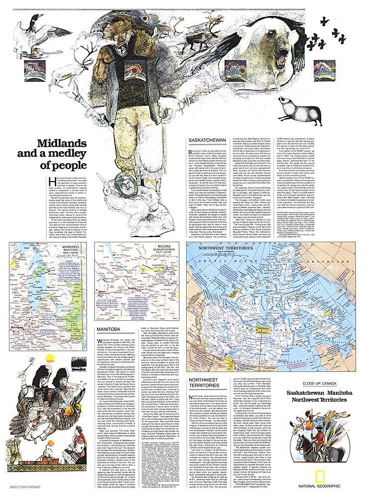
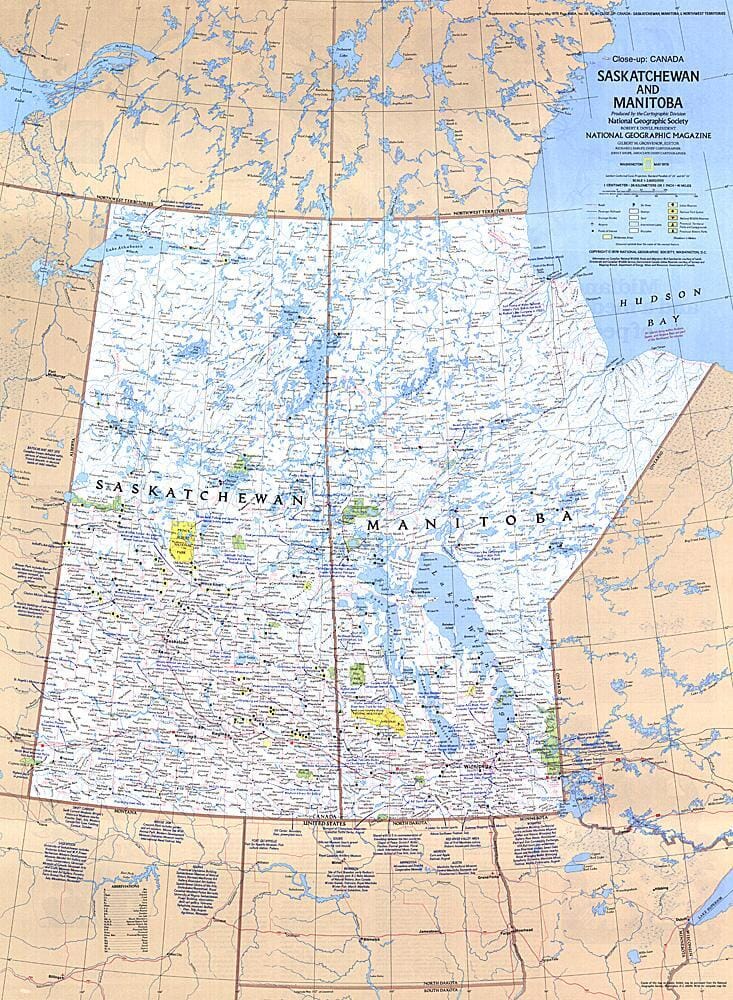
Road map of southern Manitoba and southern Saskatchewan (Canada) published by ITM.
The Manitoba portion of the map includes a detailed map of Winnipeg and roads north to Flin Flon. Interestingly, there is only one road connecting the province to Ontario and eastern Canada (Highway 1, or the Trans-Canada Highway). The second side of the map is devoted to Saskatchewan, from the U.S. border to Prince Albert National Park. This side has two large insets representing the two major cities, Regina (the capital) and Saskatoon.
ISBN/EAN : 9781771294898
Publication date: 2024
Scale: 1/900,000 (1cm=9km)
Printed sides: both sides
Folded dimensions: 24.6 x 10.3 x 0.5cm
Unfolded dimensions: 100 x 69cm
Language(s): English
Weight:
80 g


