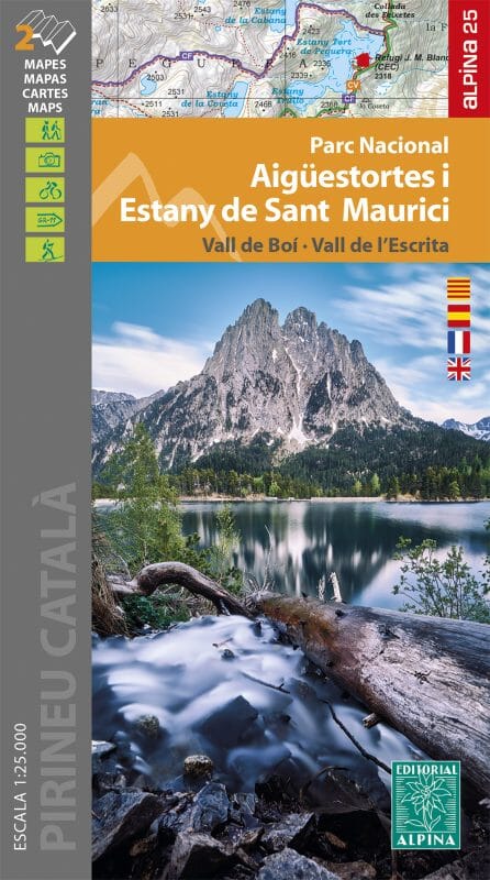
Set of 2 detailed topographical maps of Vall de llémena, Serra de Finestres, Muntanya Rocacorba.
Map sector: Llemena Valley. Serralada Transversale Catalane (counties of Gironès, Garrotxa and Pla de l'Estany).
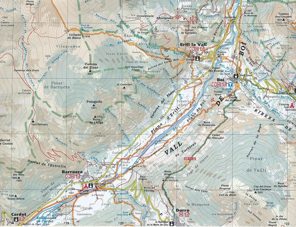
The detailed map, published by Editorial Alpina, is in color with contour lines and indicates the marked trails marked trails (PR's, GR's, Itinerànnia trail network), trails, natural elements and ethnological interest...
The map is accompanied by a booklet including:
- Top 11: points of interest
- Route selection
ISBN/EAN : 9788470111198
Publication date: 2024
Scale: 1/25,000 (1cm=250m) & 1/15,000
Printed sides: front
Folded dimensions: 21 x 11.5 x 1cm
Language(s): Catalan
Weight:
114 g


