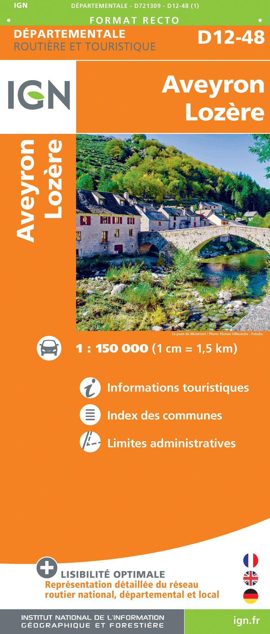
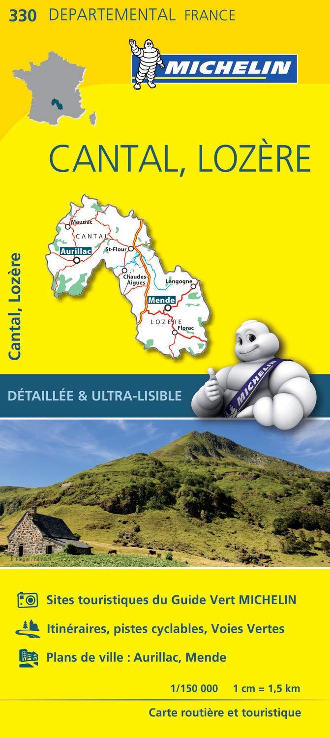
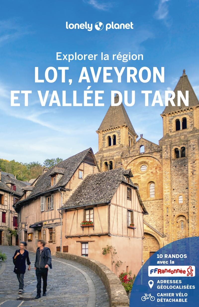
This topomap is based on the GR® 68, a 6-day loop around Mont Lozère. An all-in-one product to experience roaming with complete peace of mind.
A vast granite massif, Mount Lozère is located between the limestone causses (Causse de Sauveterre and Causse Méjean to the west) and the shale Cévennes to the south. Its summit, Finiels, rises to 1,699 meters.
Mount Lozère is part of the “Causses and Cévennes” territory, listed as a UNESCO world heritage site as a “Cultural landscape of Mediterranean agropastoralism”.
It is also one of the last places where traditional transhumance is still practiced.
The +:
11 days of roaming on GR.
All-in-one map for easier roaming.
Double-sided paper resistant to rain, snags, strong and flexible.
Predefined and pre-cut steps.
Routes on IGN backgrounds and selections of accommodation and transport!
Access to the GPX track on MaRando.
ISBN/EAN : 9782751413148
Publication date: 2024
Scale: 1/50,000 (1cm=500m)
Printed sides: both sides
Folded dimensions: 25 x 10.7 x 0.3 cm
Language(s): French
Weight:
40 g


